Turn Unstructured Data into Maps
Use the ArcGIS LocateXT extension to find and extract geographic coordinates from reports, spread sheets, websites and emails and then map them.
Use the ArcGIS LocateXT extension to find and extract geographic coordinates from reports, spread sheets, websites and emails and then map them.
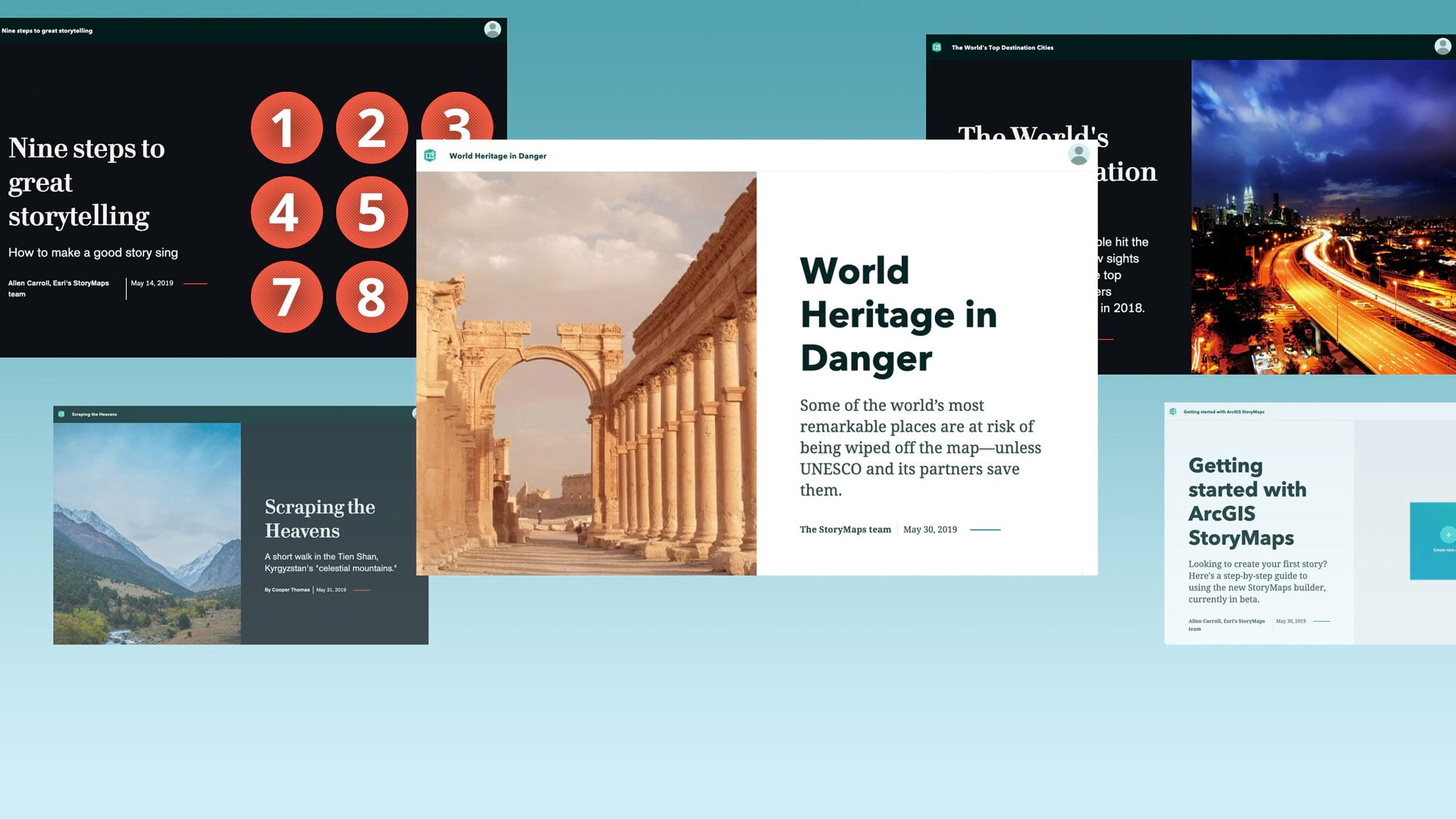
To help you better tell your stories—simply, powerfully, and with style—Esri has developed ArcGIS StoryMaps.
In a new Learn ArcGIS lesson, you will use ArcGIS Online to create and share a map that shows hurricane evacuation routes out of a city.
Whoever wins the 2019 StoryMapper of the Year Contest receives $5,000 for a GIS-related community project.
Recently added tools in ArcGIS Online and Autodesk InfraWorks give users the ability to integrate GIS and building information modeling (BIM).
Take advantage of a discounted offer of Spike, a laser measurement device from ikeGPS that works well with Survey123 for ArcGIS.
Kory Kramer and Olivia Iannone from Esri demystify how editing works in ArcGIS Pro and show you how your data is kept safe from editing mishaps.
Travel to the surface of Mars and explore its features from the comfort of your computer, using d ArcGIS Online.
Use the Paleogeography & Plate Tectonics story map to go back in time and see how land masses moved due to plate tectonics.
Make your maps easier to understand by using ArcGIS Arcade to bring the colors from the map symbols into your pop-up text.
ArcGIS StoryMaps is still in beta, but Esri StoryMaps team members already want to share their favorite features such as express maps.
Use ArcGIS Indoors to navigate to offices, locate safety and security equipment, find events, and monitor security issues in the workplace.