Create a Project in ArcGIS Pro
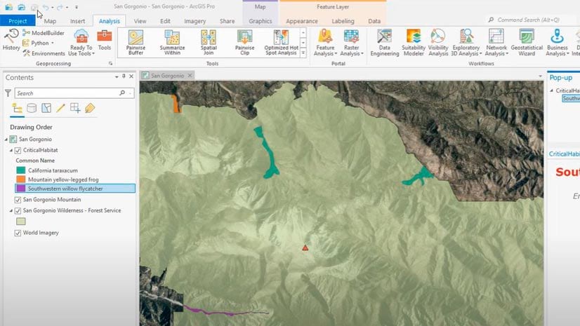
A tutorial clearly shows every step in the process of creating a project using ArcGIS Pro.
A tutorial clearly shows every step in the process of creating a project using ArcGIS Pro.
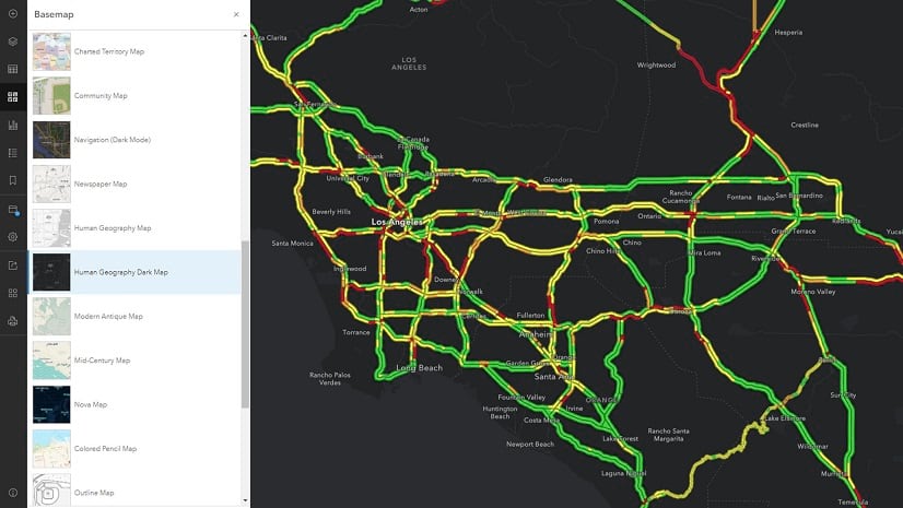
Here's a reminder from ArcGIS content chief technology officer Deane Kensok to make sure all Esri basemaps in your maps are current.
Cartographer Kenneth Field's book Thematic Mapping is just one of three new Esri Press books worth picking up soon.
William Shuart uses drones and the latest Esri technology to help students at VCU bolster their skills for their future careers.
Esri just released a crop of additional color ramps in Map Viewer, including some with colors that are bright and others that are subdued.
D'Maia Curry from Esri shows you all the features and capabilities you can access from the Maps list in ArcGIS Field Maps.
United States customers can configure or upgrade their GIS by packaging ArcGIS with a Dell EMC PowerEdge Server.
Upgrade to the new ArcGIS basemap layer service if you are using an open-source client API such as Esri Leaflet to build mapping apps.
The African People & Wildlife organization uses ArcGIS software to analyze and visualize data on human-wildlife conflicts in Tanzania.
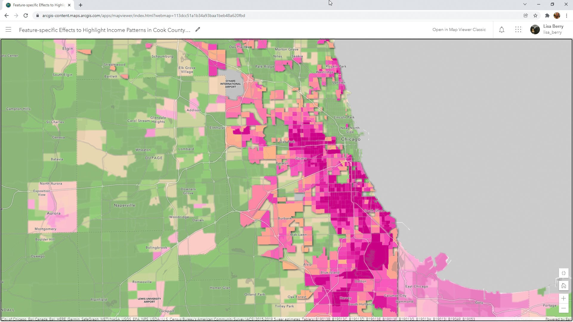
Learn to how to use a Map Viewer capability called feature-specific effects to emphasize a particular part of your map data.
Learn how to make your ArcGIS Online home page more discoverable to the public.
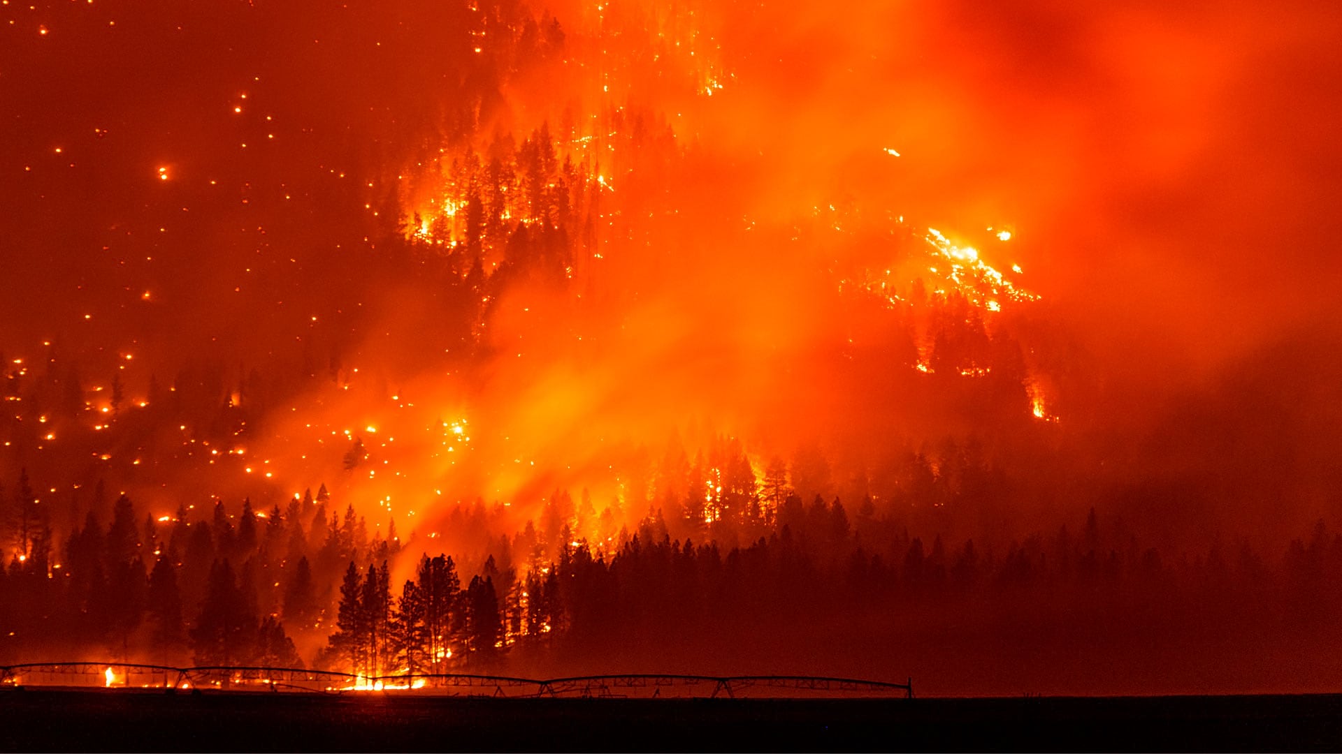
The WindNinja Mobile app, powered by GIS, provides firefighters with wind speed and direction forecasts in potentially dangerous conditions.