Irish Utility Uses GIS on Project to Repair and Replace Water Pipes
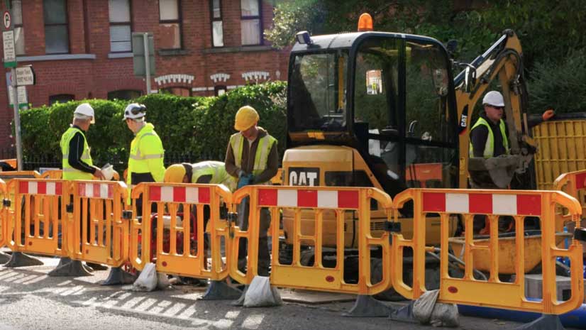
Irish Water is using GIS to complete a project to repair or replace leaking water pipes in Ireland.
Irish Water is using GIS to complete a project to repair or replace leaking water pipes in Ireland.
Bern Szukalski and Ian Wittenmyer from Esri show you how to use group-based configurable apps.
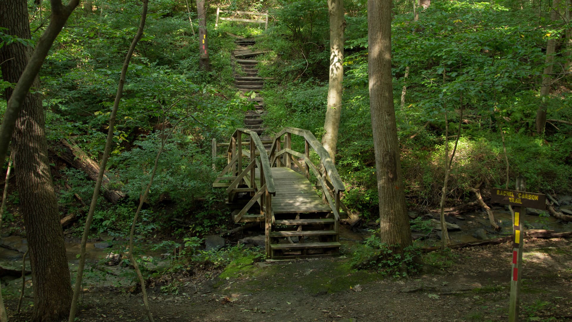
The Park Trails mobile app, developed with AppStudio for ArcGIS, helps visitors navigate trails in nine Allegheny County, Pennsylvania, parks.
Kylie Donia of Esri guides you through how to use Collector for ArcGIS to capture information using a local park as a data collection location.
With Amazon AppStream 2.0, you can stream ArcGIS Pro from the cloud.
Esri cartographer John Nelson walks you through how to craft a stunning vintage-style poster of Yellowstone National Park.
In Utah, knowing where and when the wildlife travel reduces the chance that planes will strike pelicans and vehicles will hit moose and deer.
Get tips on how to use ArcGIS Pro and Adobe Photoshop to create a map that expresses the feeling of a location.
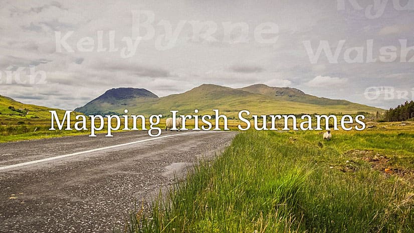
Honor your ancestors with an Esri Story Maps app such as this one called Mapping Irish Surnames.
People who work in the electric, gas, water and telecommunications industries are invited to the new Esri European GeoConX Conference this May.
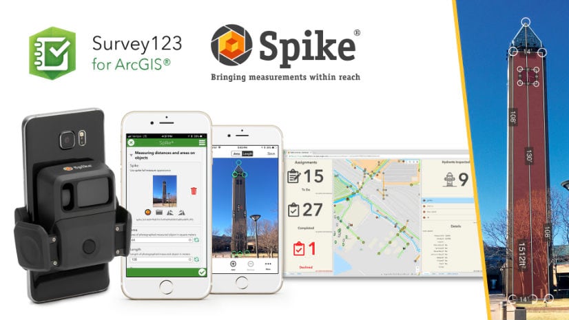
Esri offers Spike, a laser measurement device from ikeGPS that, when used with Survey123 for ArcGIS, makes taking measurements fast and easy.