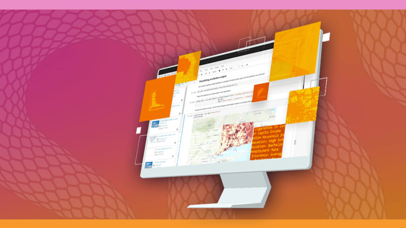
Python Tips and Tricks for ArcGIS Administration
Learn to reduce common administrative pain points and leverage the latest visualization and automation capabilities in this no-cost seminar.
Learn to reduce common administrative pain points and leverage the latest visualization and automation capabilities in this no-cost seminar.
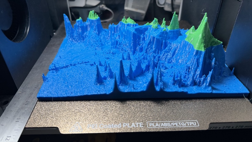
A new ArcGIS Pro add-in lets you export STL files and post-process the open mesh into a watertight, 3D-printable model.
The RainFocus event marketing platform streamlines registration, content, and on-site operations for the Esri User Conference.
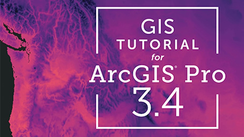
This updated book introduces readers step by step to basic ArcGIS Pro skills such as designing maps and geocoding.
A new geoportal will expand access to data, maps, and GIS technology for students, teachers, and conservationists worldwide.
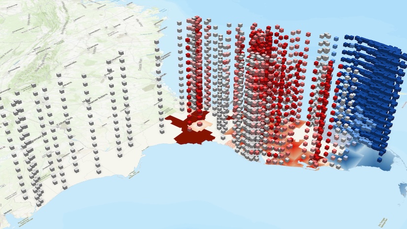
In this tutorial, learn how to analyze spatiotemporal data by visualizing changing homeownership rates over time throughout Florida.
Discover the role of the Arcade expression language in ArcGIS and learn key concepts for writing and executing it.
Opening on February 18, 2026, Esri’s no-cost course explores how GIS is being used to prepare for a more resilient future.
Discover the beauty of geography with this calendar featuring visually captivating maps created by Esri.
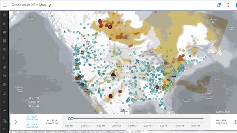
Use data from ArcGIS Living Atlas of the World to make a Canadian smoke and fire map that explores current smoke conditions and air quality.
Join this free course to learn how GIS and imagery work together to enhance workflows from visualization to analysis.
Join this seminar on October 23 to learn about a new capability that supports an easy-to-follow, dynamic to-do list for mobile workers.