ArcGIS Demystifies a Baffling Building
At Rutgers University, indoor GIS could help students find classrooms, elevators, and accessible building entrances more easily.
January 2024

At Rutgers University, indoor GIS could help students find classrooms, elevators, and accessible building entrances more easily.
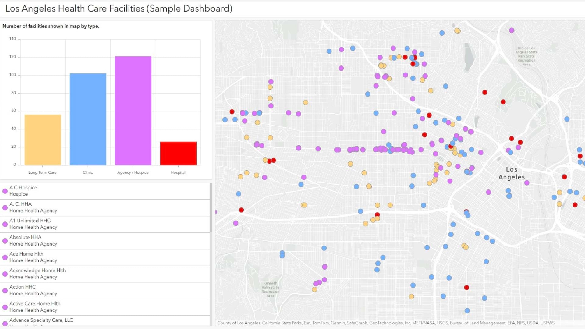
Learn how to configure a simple interactive dashboard using ArcGIS Dashboards in this tip.
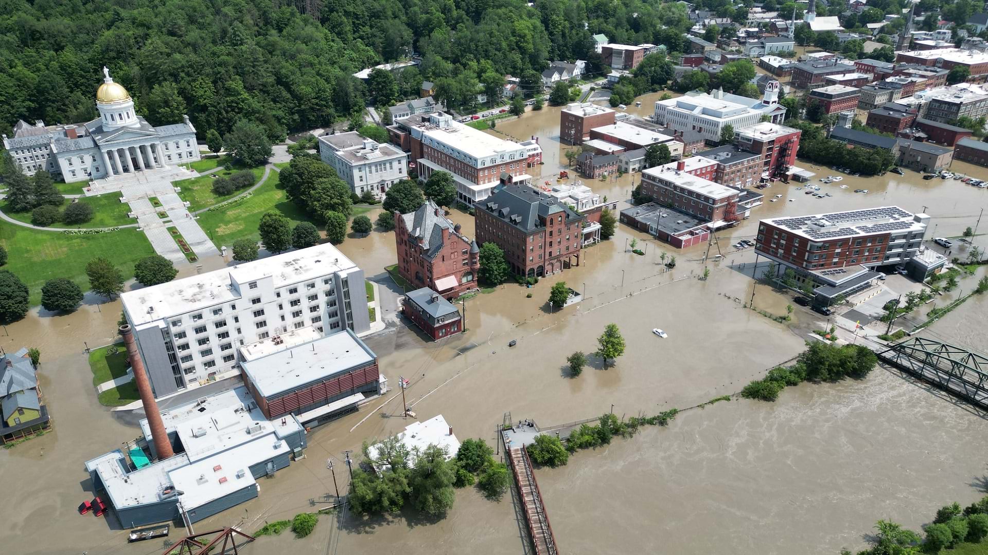
After flooding in Vermont, residents were able to get rapid relief thanks to GIS-based disaster response.
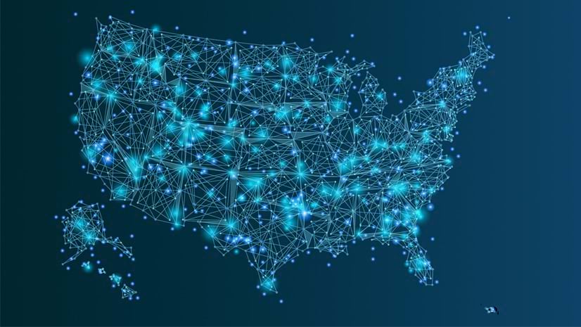
Listen as Allie Kelly, Executive Director of The Ray, explains the imperative of greenifying the US power grid.
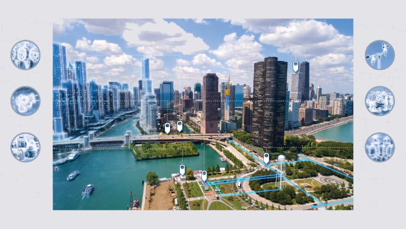
Learn how to use GIS and the geographic approach to improve the way you manage infrastructure and assets.
Join Esri in Washington, DC, February 13-14, 2024, to learn how the government is using GIS to promote understanding of complex solutions.
Maps from the National Climate Assessment Interactive Atlas provide insight into the latest assessment of climate change in the U.S.
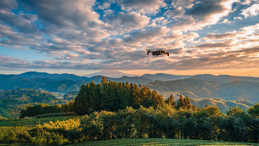
Taking place February 12-14 in Denver, CO, Geo Week explores integration between the built environment, imagery, and commercial 3D technology.
Multifactor authentication delivers an extra level of security for your organization. Here's how to set it up for members using ArcGIS logins.
Applying effects and blend modes to Media Layers is one of the latest ways you can customize your web maps.
Learn about the new ArcGIS Video Server, a server role for ArcGIS Enterprise designed to incorporate video into ArcGIS.
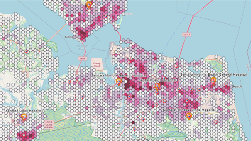
Learn how to leverage GIS tools for complying with network adequacy and enhancing health equity.
Learn how to leverage the power of enterprise GIS to engage with stakeholders and management to make key business decisions.
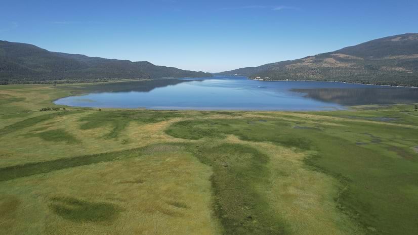
Check out this restoration project developed for native wetland vegetation in the Swan River National Wildlife Refuge in Montana.
Want to bring your imagery to life? Esri Academy’s recent live training seminar explored 2D and 3D imagery products using ArcGIS Reality.
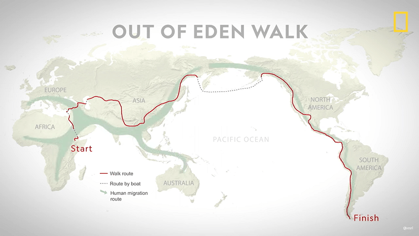
Join National Geographic Fellow Paul Salopek on his ten-year trek around the world to explore the people who make societies work.
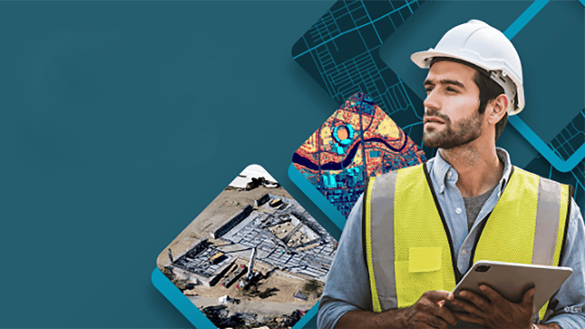
Join Esri’s free massive open online course, opening on February 14, to learn to infuse geographic context into the AEC project life cycle.