Parks Management Group Streamlines Property Encroachment Inspections with App
When a park’s boundary is breached by unauthorized land use like illegal waste dumping, Summit Metro Parks tracks violation details online.
When a park’s boundary is breached by unauthorized land use like illegal waste dumping, Summit Metro Parks tracks violation details online.
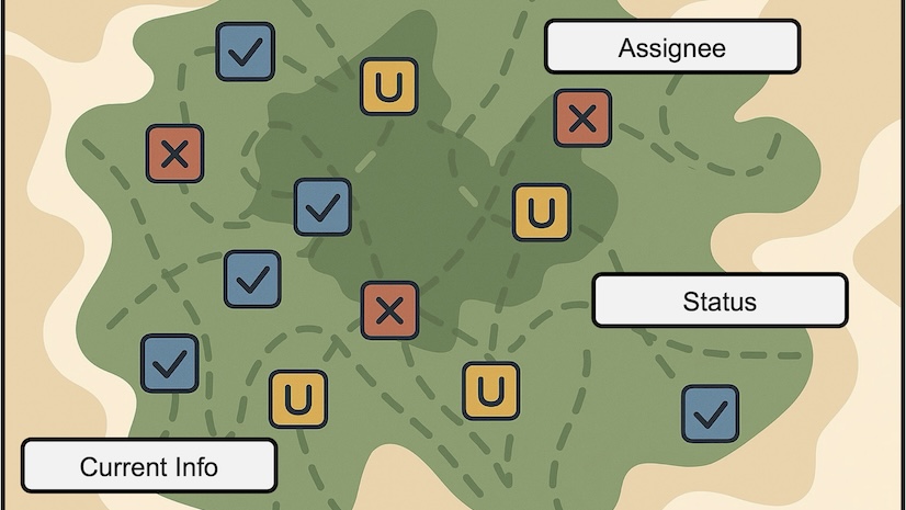
The Tasks capability gives mobile workers a better way to manage the planning and coordination of fieldwork to improve collaboration.
Join this seminar on October 23 to learn about a new capability that supports an easy-to-follow, dynamic to-do list for mobile workers.
Explore new capabilities in a new architecture built on top of the ArcGIS Maps SDK for ArcGIS Field Maps.
The University of Rhode Island has built an accessible GIS-based system of data management to make its campus a safer place.
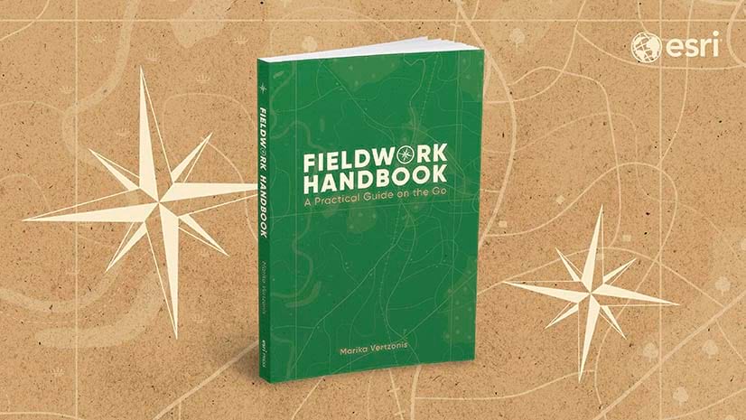
Learn more about the Fieldwork Handbook, a new companion guide for people using GIS in the field.
Learn the basics of collecting data in the ArcGIS Field Maps mobile app with this tip.
In the City of Memphis, GIS data is critical to the maintenance of vital infrastructure that prevents flooding and keeps the city flowing.
Short-line rail company OmniTRAX is employing GIS tools like ArcGIS Enterprise to streamline its operations and improve customer service.
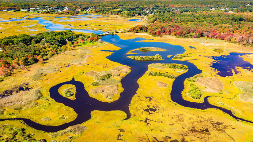
State and local governments play a prominent role in protecting their communities' wetlands and can use GIS tools to help.
American Prairie reflects on how GIS improves operational management to support conservation efforts.
New Jersey American Water has saved millions of dollars each year by mapping water asset locations across the state with pinpoint accuracy.