May 2, 2023 |
December 5, 2023
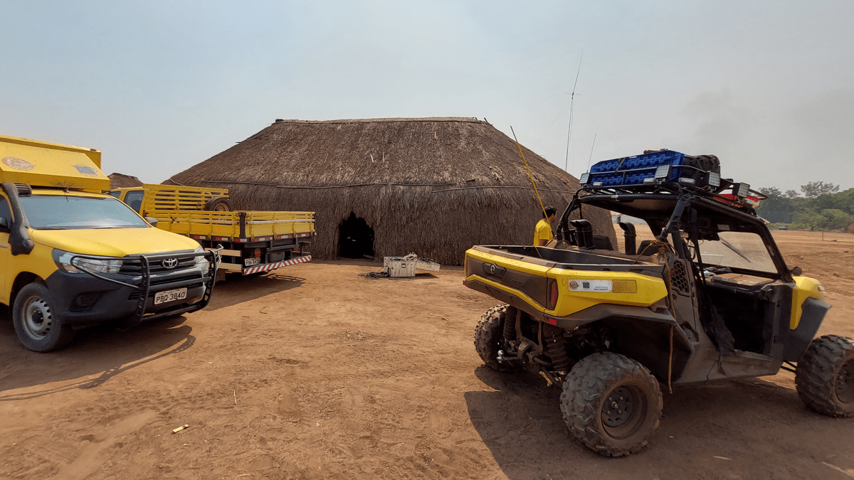
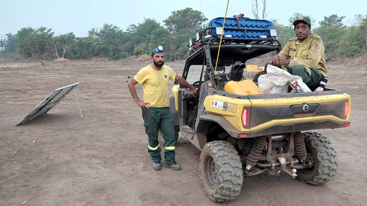
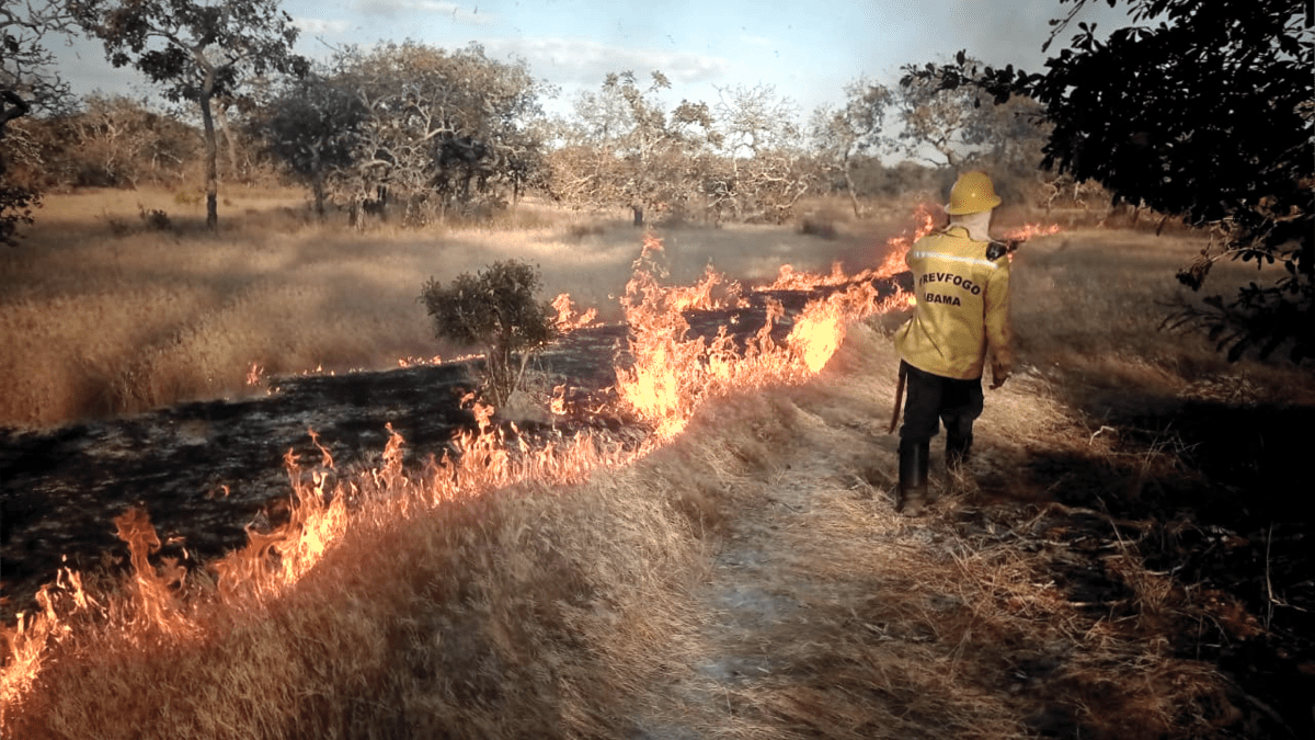
The Indigenous people living alongside the Brazilian portion of the Amazon have managed their fire-prone landscapes for millennia using controlled burns. Now, more than 700 Indigenous firefighters work for Brazil’s National Center for Wildfire Prevention and Suppression (Prevfogo). They are starting to use smart maps and apps to share their knowledge of the forest in an effort to protect it from destructive wildfires.
“The true owners of the knowledge, with field experience about the way fire behaves, are the Indigenous people in those areas,” said Talita Oliveira Tarlei De Freitas, an environmental analyst at Prevfogo, part of the larger Brazilian Institute for the Environment and Renewable Natural Resources (Ibama).
Prevfogo’s fire brigade training includes the use of an app called the National Wildfire Information System (Sisfogo), built with geographic information system (GIS) technology. Firefighters use Sisfogo on their phones and tablets to see the fuel load maps of green and dry vegetation and coordinate suppression actions on unwanted fires. The information helps firefighters manage controlled burns during the wet season and contributes to a greater understanding of the land.
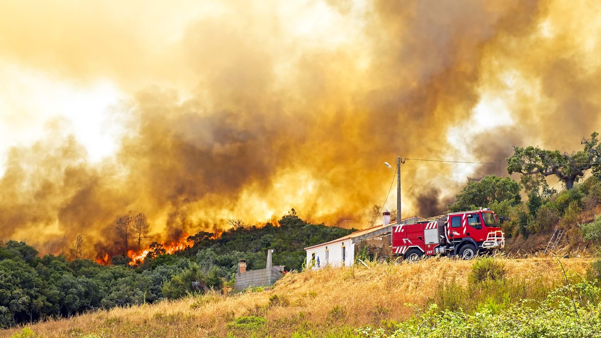
Brazil is also taking measures to prevent illegal fires along the Amazon—those started by settlers who burn the forest to clear land for farming and grazing. When the president of Brazil, Luiz Inacio Lula da Silva, won reelection in 2022, he pledged increased protections and support for the rainforest and the Indigenous stewards of the land. Since then, thousands of non-Indigenous people have been removed from the two native territories that had seen the greatest amount of deforestation.
The removal of illegal settlers reduces environmental stress on the land Prevfogo manages and eliminates a persistent source of fires.
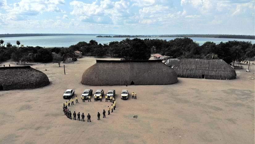
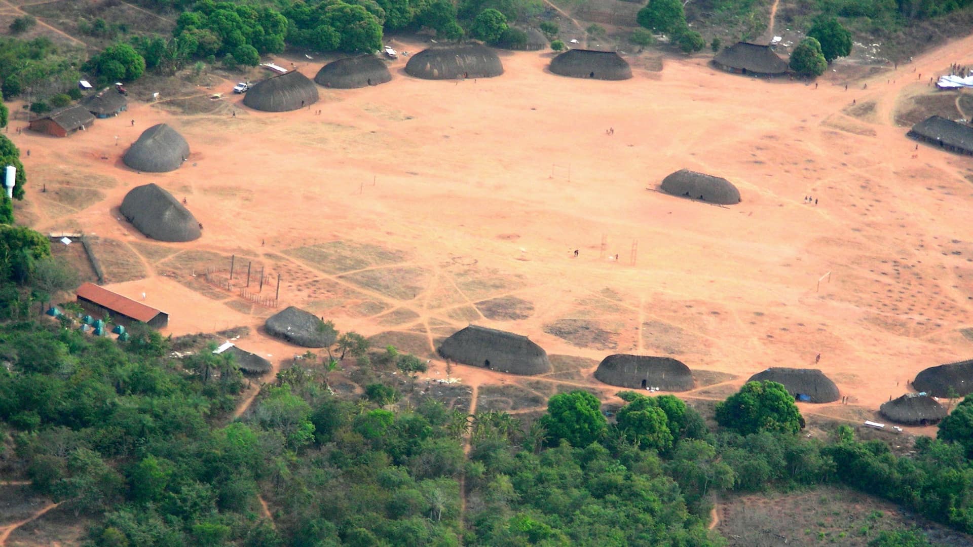
Prevfogo works within Indigenous territories, quilombos (African origin settlements), and land reform settlements, in integrated fire management activities. Of the 99 fire brigades Prevfogo has trained and maintained since 2009, more than half are Indigenous and one is composed of all women.
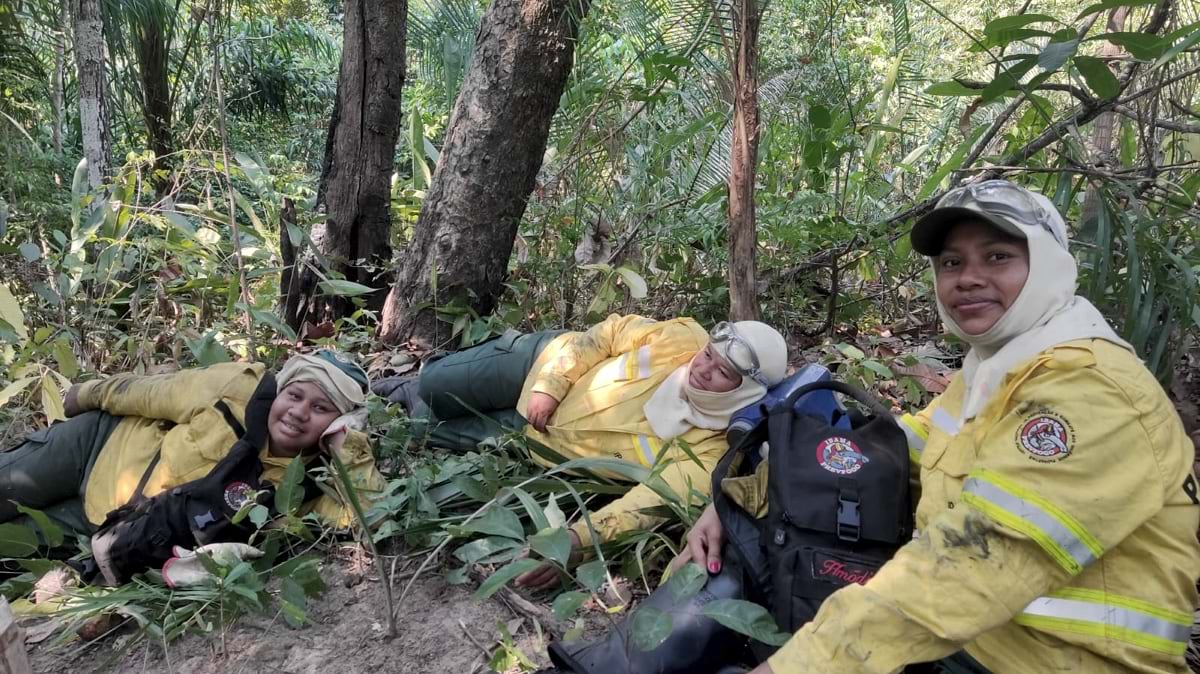
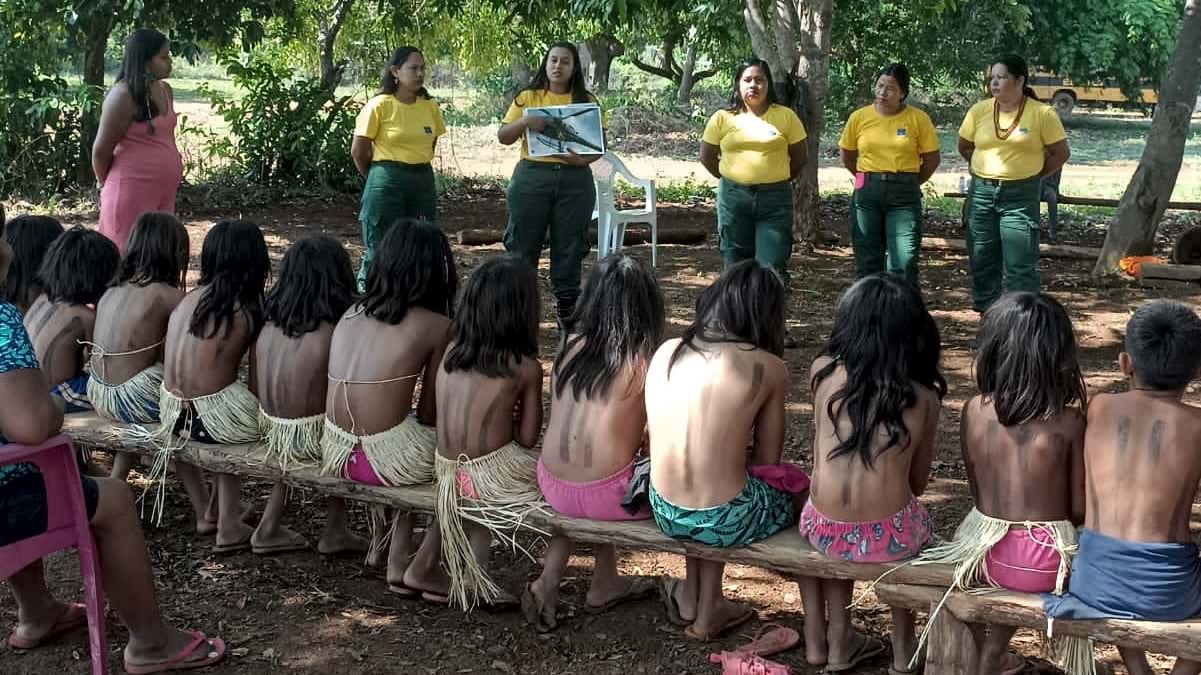
Each tribe has a unique cultural connection to fire, using it in varied ways for rituals, land management, and hunting. The Indigenous fire brigades spread their fire knowledge through the Sisfogo app so that all can learn what elders have passed down through generations.
“Indigenous firefighters work in their own territory, which is very important for us because they have a natural relationship of protection,” Freitas said.
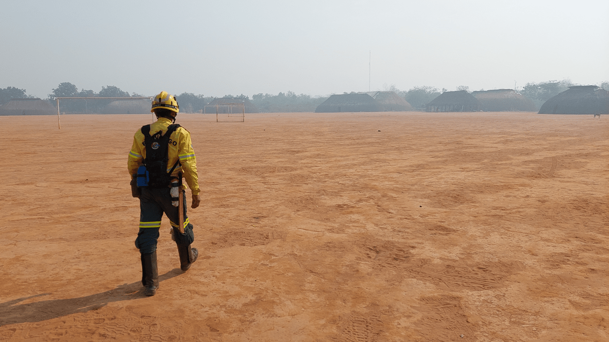
To reduce fuels, brigades conduct prescribed burns in May at the beginning of the driest season, which typically lasts through October. The areas considered most vulnerable to fires are carefully evaluated, and burning only occurs where authorized. For this work, the center’s GIS tools help with public awareness.
“We need to inform the community and gain approval,” Freitas said. “Maps and imagery help us show the risk and convince community members that we’re there to partner and work with them. They may need to sacrifice a small piece of their land as part of a prescribed burn for the bigger picture of reduced wildfire risk in the future.”
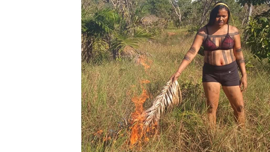
For a short period starting in 2001, Brazil’s government banned controlled burning by the tribes, but soon reversed the policy; researchers have learned that many of Brazil’s biomes depend on fire and that controlled burns reduce fire intensity and damages.
Controlled burns that spread slowly—called cold fires because they naturally die out in the early evening when temperatures decrease—give animals and insects time to flee. The flames don’t reach the treetops and are not intense enough to destroy mature trees or shrubs.
GIS maps give people a visual of the brigade’s strategy with controlled burns. “We use maps to explain where we plan to burn and to demonstrate how and why we will conduct the operation in a certain way,” said Luiz Pacheco Motta, an environmental analyst and developer at Prevfogo who is working on Sisfogo.
When faced with wildfire, tribes in the affected region share maps to communicate and take strategic actions. Within the Sisfogo app, they can adjust data capture forms and dashboards as needed. “They can share their thoughts, their feelings, their perceptions of the world using GIS tools and maps,” Freitas said.
The value of collecting and sharing tribal knowledge extends beyond the immediate needs of firefighters. Government ministries, agencies, and academics benefit from the data and the shared awareness.
“One of Sisfogo’s biggest challenges is to adapt the traditional use of fire to climate change,” Motta said. “To this end, GIS technology with spatiotemporal data and Indigenous land-use records provides the right way to respond to this challenge.”
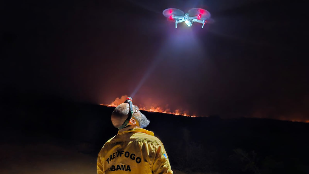
Prevfogo can now visualize and analyze wildfire data to see patterns, compare incidents in space and time, and monitor hot spots. The insights could provide answers about wildfire conditions and incidents that can inform global efforts to reduce disasters.
“Everyone is watching Brazil for environmental issues, deforestation, and wildfires right now,” Freitas said. “It’s important for us to show the world what we’re doing, how we prevent wildfires, and how we manage them.”
Prevfogo’s monitoring and combat division (DMC), where Sisfogo developers work, relies on global GIS collaborators who share knowledge and techniques to better face the challenges of global warming. Motta reflected on the urgent need to help one another during a talk at the 2023 Esri User Conference, “We do not have another planet Earth—there is no second chance.”
Learn more about how GIS is used to reveal hidden patterns and relationships, applying spatial analytics and data science.


May 2, 2023 |
August 2, 2022 |
August 18, 2020 |