

November 15, 2022 |
March 26, 2024
Every Monday and Wednesday, the team at Ernst Conservation Seeds gathers around maps to discuss which fields to harvest, which fields need treatments, and where to plant new crops.
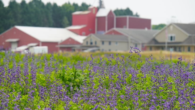
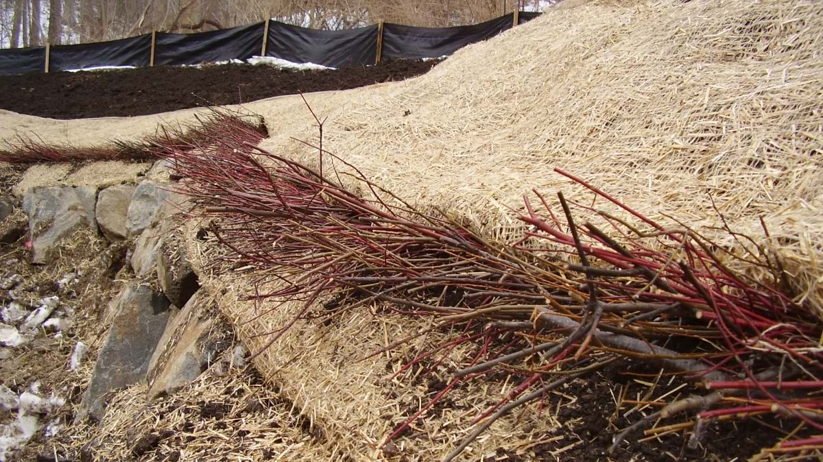
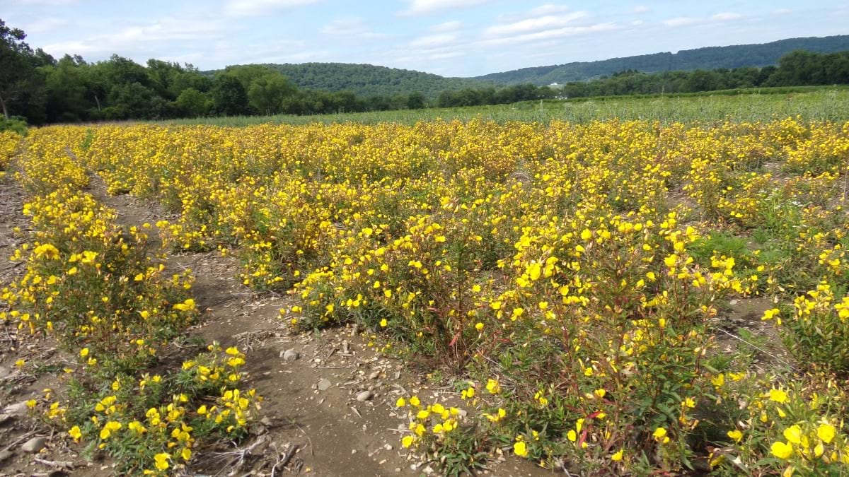
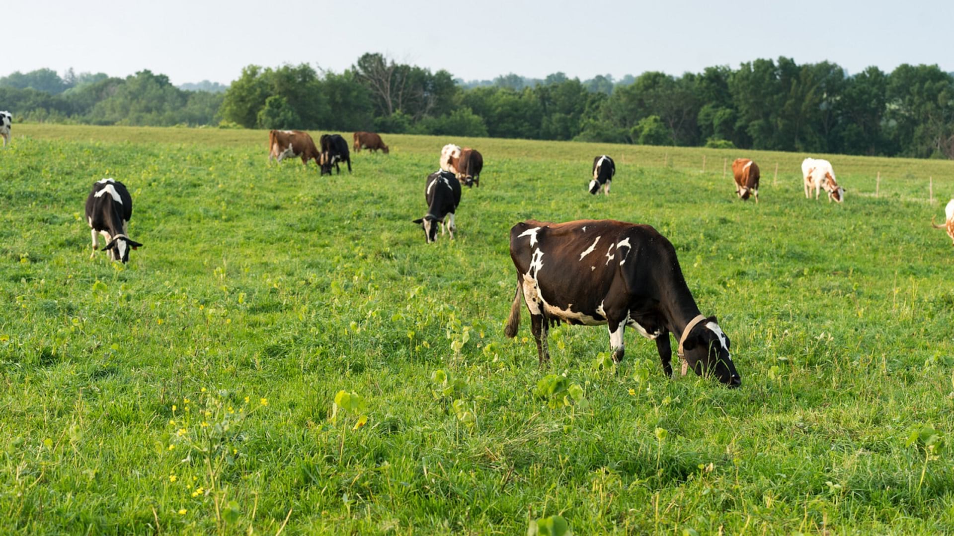
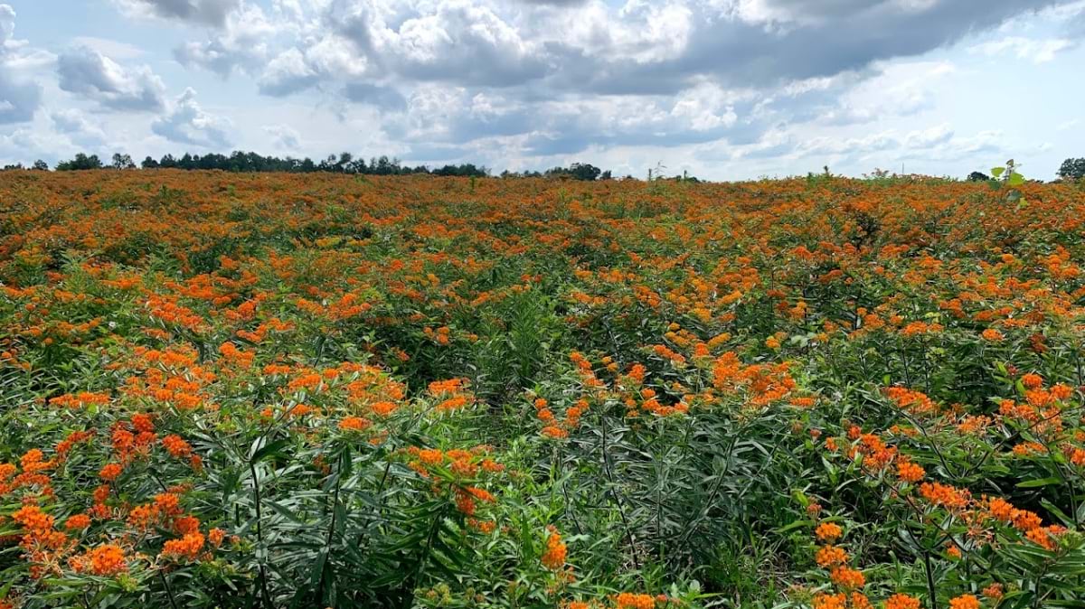
On this 10,000-acre farm near the small town of Meadville, Pennsylvania, the company pioneered the propagation of 180 species of native wildflowers, grasses, and wetland plants to revive degraded land and provide wildlife habitat.
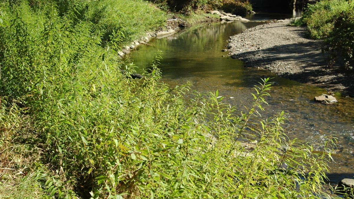
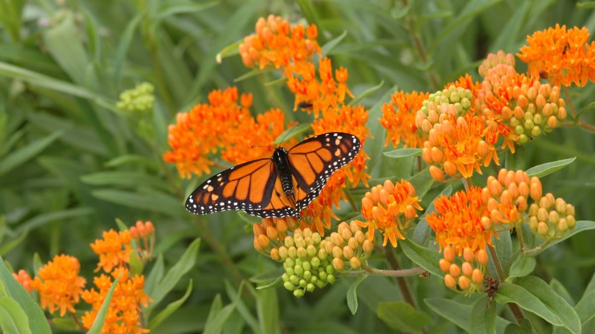
Now, the plants Ernst Seeds propagates are in high demand. Pollinator planting has become a trend worldwide, with the growing realization that flying bugs and birds are key to the survival of three-quarters of the world’s plants, including many we eat. Native plants, too, are being valued for nature-based solutions to protect soils from erosion and to filter pollutants from stormwater.
Across its operation, Ernst Seeds embraces the science of agronomy and the use of geographic information system (GIS) technology to understand native plant species and grow them better, faster, and less expensively.
There’s a lot of experimentation that goes into growing native seeds and designing the right mix for each restoration project. “What we’re doing is going out and looking at existing plant communities to see what species grow together and how they’re doing it,” said Andy Ernst, vice president of Ernst Seeds. “Then there are lessons from our farming failures and successes. We make a lot of discoveries in our fields when we map yield data and the treatments we applied.”
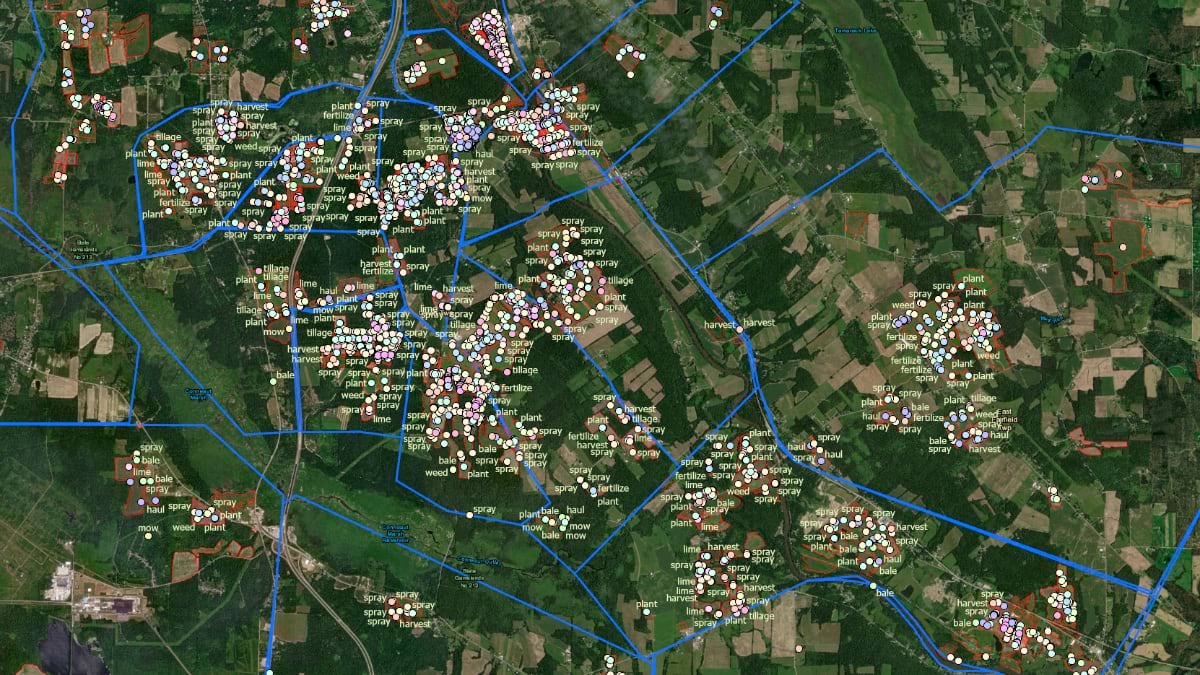
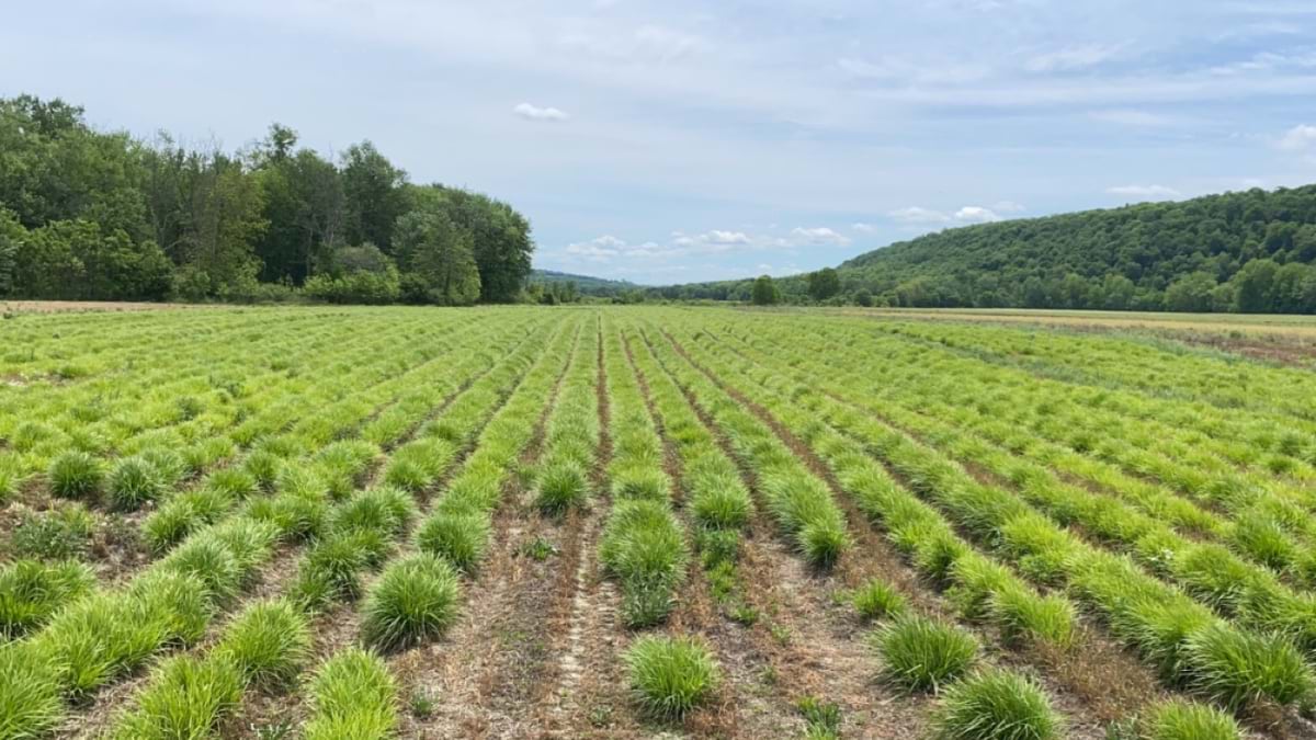
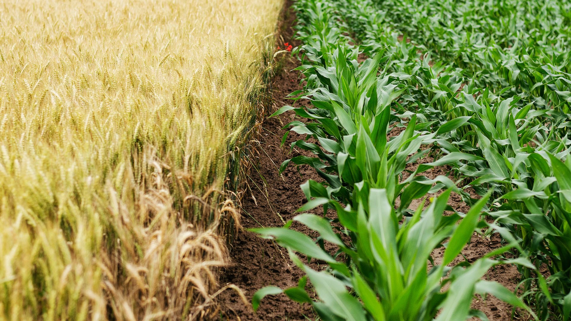
Typically, large farms focus on commodity crops like corn, soybeans, wheat, or cotton. At Ernst Seeds, the growing cycles of 180 species are tracked across 1,300 fields and 15 square miles.
“I realized a long time ago that with the complexity of our farm, we needed software to track it,” Ernst said. His early forays into traditional farm management software products were frustrating as most could not support so many crops. The software lacked the data management and analysis capabilities needed to discern best practices for seed crops no one else was growing.
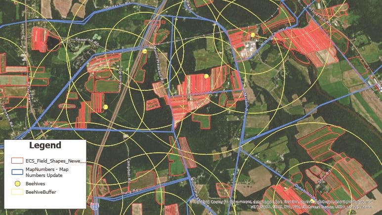
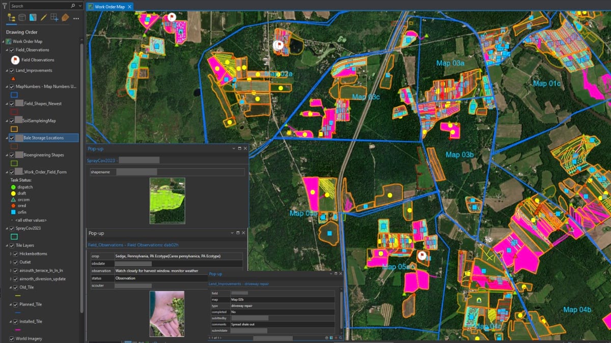
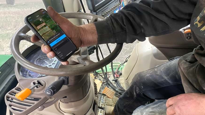
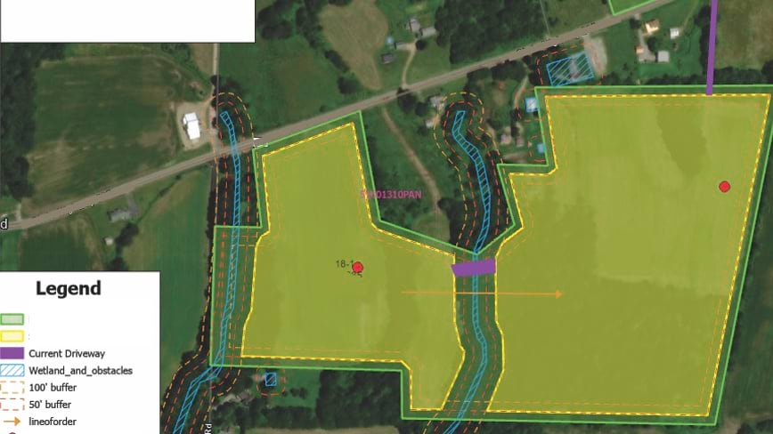
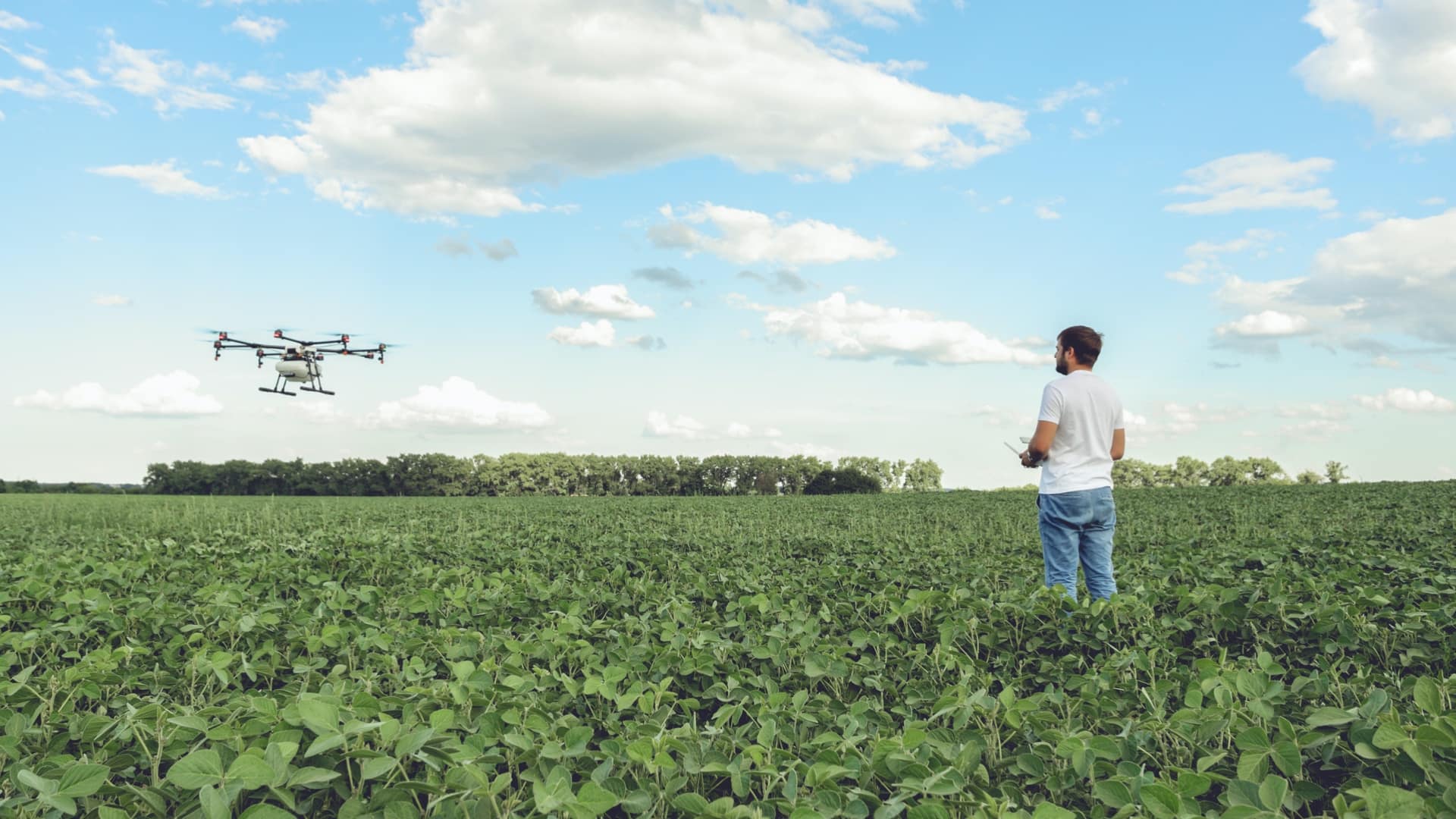
Then in 2015, Ernst Seeds started using GIS. For operations, the ability to see fertilizer and spray assignments on smart maps helped the company identify places that required more or less treatment.
“There are a lot of accidental experiments when a row is skipped, there’s overlap, or a different chemistry is used,” Ernst said. “When we go out in the field, we can see areas that thrive and other areas that do poorly. With GIS, we can answer why.”

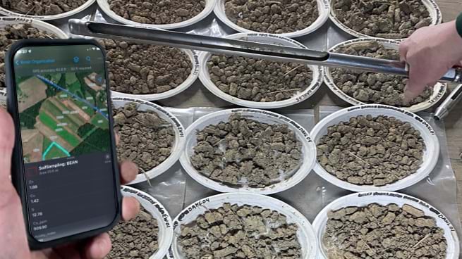
Katy Flaherty, an agronomy expert and the GIS manager at Ernst Seeds, developed a GIS-powered work order management system that guides each phase of production, from planting and fertilizing to applying pesticides and harvesting. The system uses a combination of ArcGIS Survey123, ArcGIS Field Maps, and ArcGIS Dashboards to record data and visualize trends. Flaherty also uses ArcGIS Pro to analyze data from the field, layering it with historical crop records and real-time soil and weather data to uncover correlations.
“When we plan our fields across four counties, there are significant differences in what crops do well from north to south,” Flaherty said. “It’s very spatial aware farming, and that knowledge transfers to recommendations for customers.”
In one instance, this detailed level of monitoring led to a decision to stop using a product that harmed some plants. In another case, improvements in propagation for a species proved so fruitful that smaller plots would meet the demand.
Smart maps guide the company’s planting locations, irrigation system maintenance, and harvesting schedule. Staff use smart maps to track plant maturity and time seed harvests. Unlike corn and soybeans, which can sit in fields for months, some native seeds have only three days of viable harvest. Knowing when and where to harvest is crucial. Ernst Seeds sells 70 percent of the seeds it harvests every year, putting the rest in the ground for the next crop cycle.
Calvin Ernst, Andy’s father, started the thriving conservation seeds business in 1964 with a Pennsylvania Department of Transportation contract to supply seeds to revegetate highway rights-of-way. Over the next 50 years, the company made wild seed collecting forays across the US to add plants to its offerings. As species count and seed supply grew, so did work with a broader list of customers, including state and federal agencies.
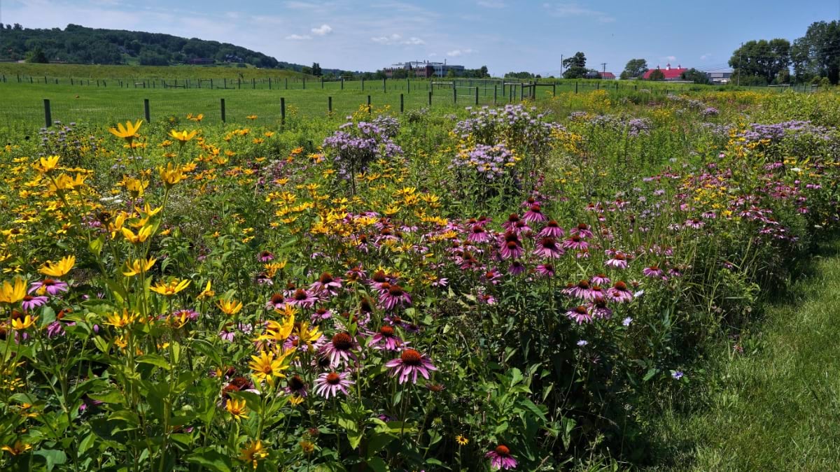
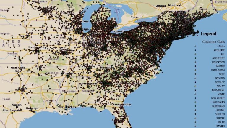
The company has developed seed mixes tailored to specific regions, such as Maryland, northern Virginia, and coastal North Carolina. These seeds are adapted to thrive in the local weather and soil. By choosing native seeds, restoration project managers ensure plants are well-suited to the ecosystem and more resilient to changing climate conditions.
“A simple philosophy is to avoid plants in your seed mixes that would be planted at the southern edge of their historical range,” Ernst said, speaking to the growing need for heat-adapted plants.
This commitment to innovation comes at a cost—it takes time to establish every new species. But insights from GIS can accelerate that timeline.
“It can take seven to 10 years to figure out how to grow something,” Ernst said. “If our observations cut that time down to five years, that’s a major win for us.”
One of the main challenges with native seed farming, according to Ernst agronomists, is the lack of knowledge of native seed production when compared to conventional row crops.
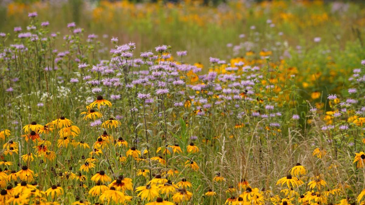
While the company has typically filled knowledge gaps itself, there have been times when an academic partnership has proved beneficial. For example, Ernst Seeds collaborated with researchers at the Center for Pollinator Research at Pennsylvania State University to identify the mix of flowering plants that could maximize pollinator food and breeding opportunities. The seed mixes developed through this partnership are now used across solar energy farms for revegetation.
The work on developing the right seed mix for solar farms made Ernst Seeds an ideal partner for the Virginia Solar Pollinator Program. Originally, Ernst Seeds was employed on the project by the Virginia Department of Conservation and Recreation to guide a mix of native seeds for Virginia, but that work expanded.
Ernst Seeds experts then worked alongside the Clifton Institute to gather seeds across Virginia, from the Coastal Plain to beyond the Blue Ridge Mountains. They recorded the location and conditions of their findings using a GIS-powered mobile app on their phones. This knowledge will help in planting along corridor projects, such as land beneath the electric transmission lines that will deliver energy from solar farms in rural areas to businesses and households in urban centers.
From its start with solar projects, the program evolved into the Virginia Native Seed Pilot Project to launch a native seed industry in Virginia. The program identifies local growers who can produce native seeds at commercial scale and shows them how data from GIS helps guide best practices.
“Creating a GIS-centric culture at Ernst has changed how managers and operators work the fields,” Flaherty said. “We aren’t only looking at maps and numbers, we’re utilizing and making the data work for us every day.”
A data-driven approach to farming can be tough to instill in farmers who have been working the same fields with the same approach for decades.
“Early on, we had pushback about the need to collect different information,” Ernst said. “Then in one meeting, we had a big lights-come-on moment when the answers we needed came from the data they’d been collecting. The guys were saying, ‘I know what we did there,’ but when we looked at the records their memory wasn’t as good as they thought it was.”
Learn more about how GIS is used to intelligently manage agriculture.

November 15, 2022 |
February 4, 2020 |
August 6, 2020 |