

February 20, 2020 |
Mike Cox | Public Safety
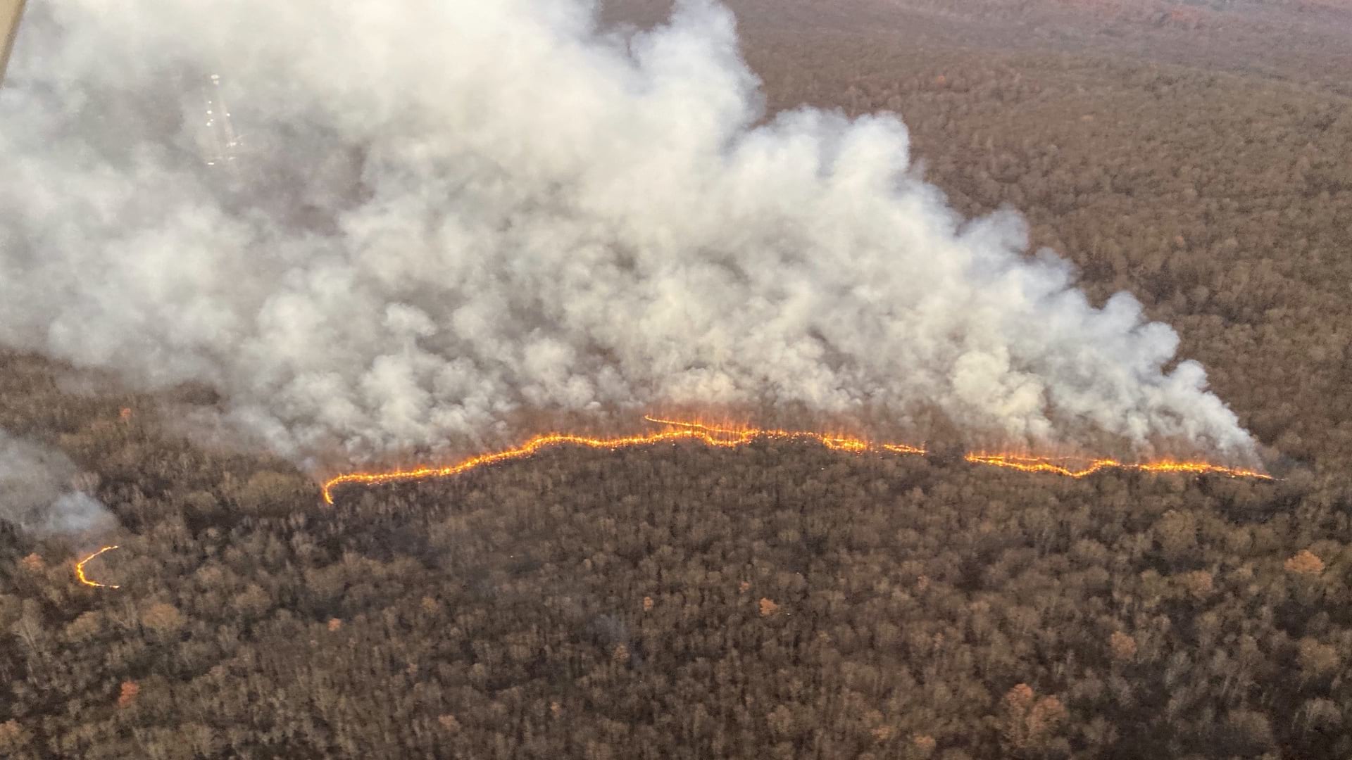
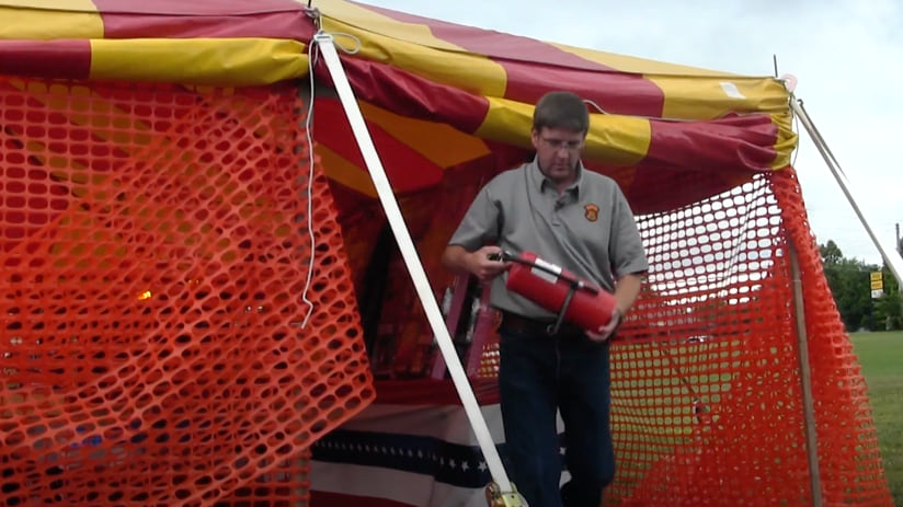
Every year as the Fourth of July holiday approaches, a slew of permit applications pours into the Missouri Division of Fire Safety (MDFS), setting inspectors in motion for in-person reviews to ensure fire safety protocols are followed. During the fireworks season, MDFS performs random inspections of nearly 1,300 permitted seasonal retail locations, and this year that process benefited from new digital workflows.
MDFS has been undergoing a complete digital transformation to location-aware apps and real-time dashboards built with geographic information system (GIS) technology. Now almost every unit at MDFS is using this location intelligence to manage the more than 14,000 inspections that staff conduct each year—not just fireworks stands but other facilities including health-care and day care centers as well as quarries.
“We’re getting to see data that we weren’t able to see previously, graphically represented on a screen, rather than sifting through a pile of papers and trying to imagine in our mind where something might be,” said Matt Luetkemeyer, assistant state fire marshal.
Luetkemeyer expects the new digital processes to increase staff efficiency and thoroughness on assignments, even saving MDFS $6,000 per year on postage. The transformed process places permitted locations on a shared digital map. The mapped location automatically links inspectors to the data collection forms they will need—those built into the GIS app, ArcGIS Survey123. Inspectors stationed around the state can now capture data in real time with their surveys tied to the work order management app ArcGIS Workforce. They can share and access information about regulations as well as inspection data in the context of each location.

MDFS has applied this same approach to improve fire inspections for mental health facilities, day care centers, and veterans’ homes. After going live in October 2020 with a survey for day care inspections, the agency quickly reached a benchmark of 3,000 inspections processed.
The team also moved to digital solutions for its work overseeing the use of explosives in the state of Missouri. Team members now use GIS surveys that allow the 60 companies that regularly apply for blasting permits to conduct this business entirely online, saving them time and money, and streamlining the creation of the Blasting Company Annual Report that tracks this activity.

When auditing facilities, inspectors focus on compliance regulation, fire detection systems, and ensuring adequate safety provisions are in place. They also point out improvements that can be made with respect to code compliance and operations. And GIS is supporting efforts to improve the routing and maintenance of the division’s vehicle fleet.
Inspectors have found that they are also in an ideal position to collect facility GIS data—such as accurate locations and predisaster and event photographs—that can aid emergency responders. The more data that police, paramedics, and fire officials have on facilities in the state, the better they can assist during a disaster or prepare communities to shelter safely.
MDFS staff taught themselves how to use the GIS apps and built forms for every one of their inspection workflows. Once the staff figured out how to make a simple survey, they applied the form-based approach to almost every inspection workflow. They now have 40 different surveys that gather data and sync to the division’s GIS database. This information populates a live dashboard, providing visibility of all the inspections taking place.
Luetkemeyer brought what he learned about GIS from his previous role as statewide mutual aid coordinator.
“And thank goodness he did, so we can take advantage of these tremendous efficiencies,” said compliance inspection manager Greg Dickens. Luetkemeyer and Dickens are impressed with the buy-in from inspectors on the switch to the all-digital workflows.
After six months, Luetkemeyer sees the division’s digital transformation as “young.” He anticipates MDFS being able to do more with the technology to support the needs of fire safety, and he’s a vocal supporter among state colleagues on taking advantage of GIS solutions.
“We’ve got lots of room to grow when it comes to utilizing GIS, but we’re sharing our successes and how they’re benefiting MDFS, team members, and state government,” Luetkemeyer said.
Learn more about how location intelligence drives faster decision-making.