We've got 21 years of data on our forests. The mapping has been improving every year. It’s really become a platform for decisions.
Spencer Martin
Vice President of Information Systems at RoyOMartin
May 6, 2025
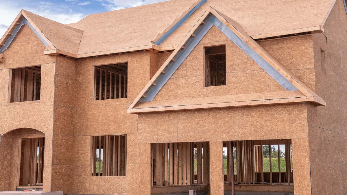
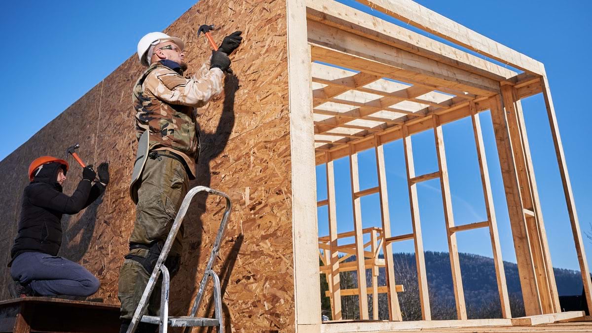
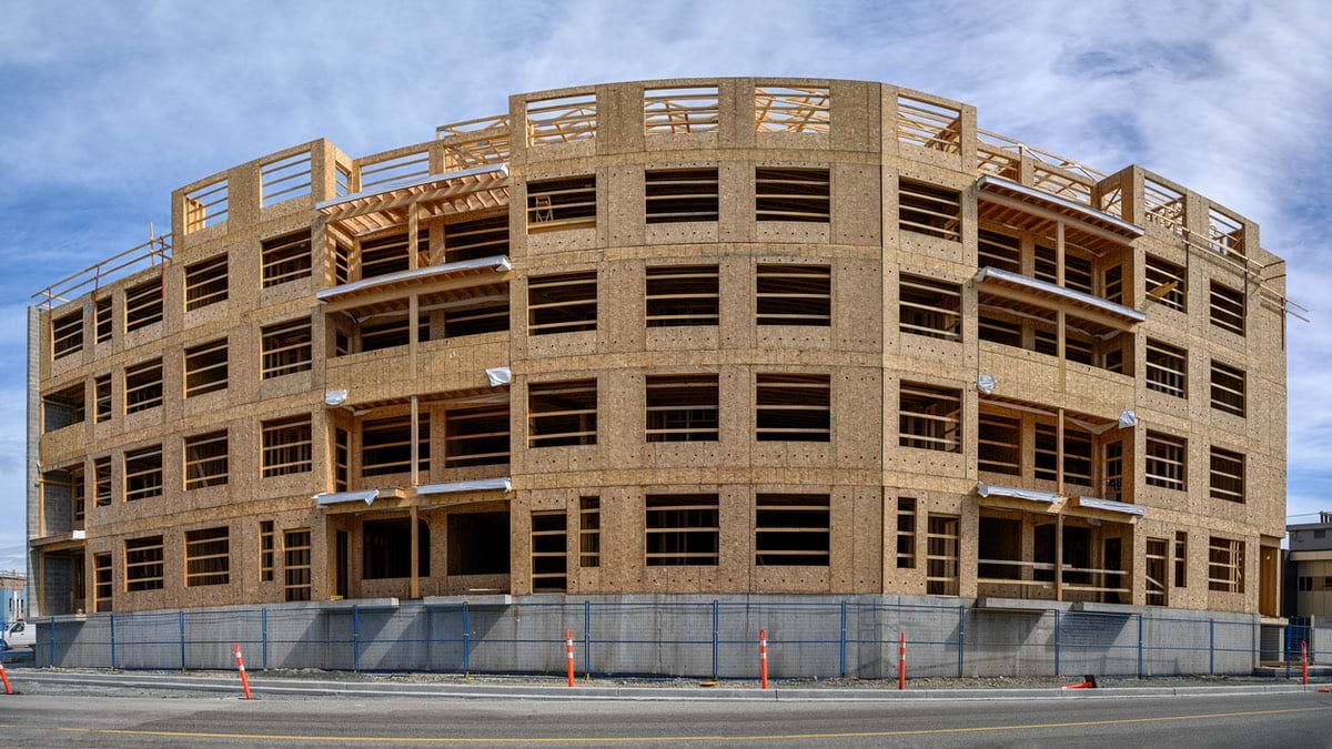
A century-old family business like RoyOMartin survives and succeeds by recognizing risks and opportunities. Right now, as the US faces a critical housing shortage, the company has positioned itself to deliver affordable construction materials grown and manufactured in Louisiana and Texas.
“You really start to wonder if the American dream of owning a home has been lost for a whole generation because of affordability and availability,” said Spencer Martin, vice president of Information Systems at RoyOMartin and a fourth-generation family member.
But RoyOMartin is doing its part. Approximately 80 percent of the plywood and panels it produces flows directly into multifamily or residential housing.
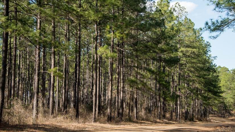
“Part of what our future challenge is going to be is what do we do with all the timber that we’re so good at growing,” Martin said. The company currently has an abundance of raw materials. “The seedlings have gotten so good, and our prescriptions have gotten so good, we’re growing too much timber.”
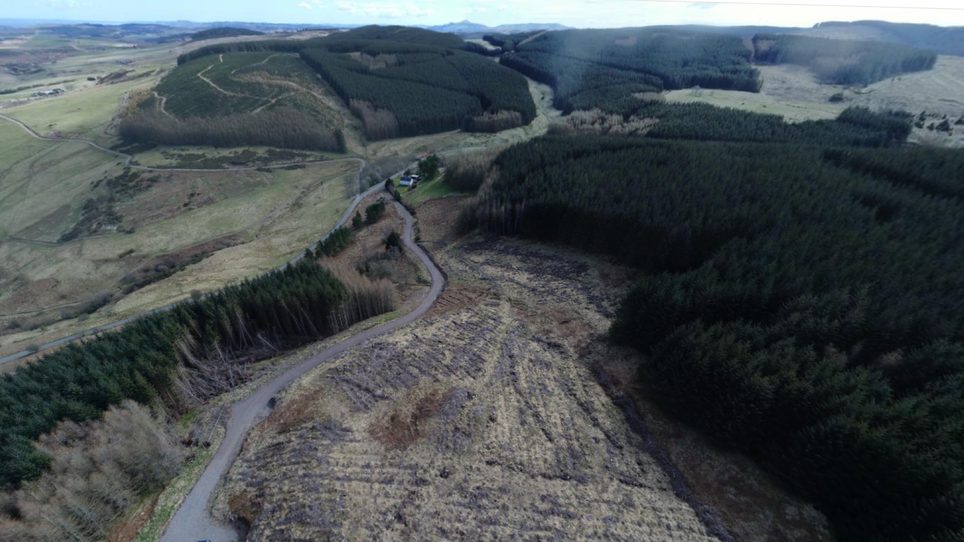
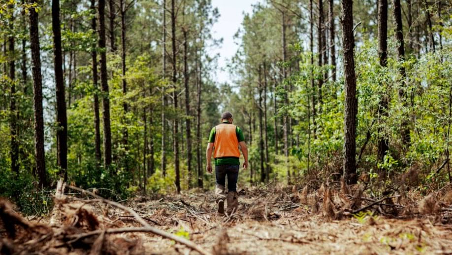
The story behind this bounty starts with RoyOMartin’s embrace of the latest tools, including drones, imagery, and geographic information system (GIS) technology. This digital transformation has helped the company adapt precision agriculture practices for its 550,000 acres of forestland, increase efficiency across operations, and stay agile through market shifts.
When foresters at RoyOMartin head into the field, they carry the history of the forest with them. On GIS maps, they can instantly see soil types, drainage patterns, growth histories, and planned treatments for any point on the company’s vast holdings.
“We’ve untethered these foresters from the desktop,” Martin said. “When they leave their house in the morning, they can go straight to the woods without passing by the office.”
Using tablets loaded with GIS, foresters access apps designed for their workflows: tree surveys, harvest scheduling, site preparations for planting, thinning, spraying, and more. The real-time data shared on these apps flows across the organization to support informed decisions at all levels.
Ed Poole, the company’s forest management information systems manager, explained the impact. “You can look at what you did and see how it worked. ‘We did this type of spray. I don’t think that worked,’ or ‘It worked really well. Let’s do that again.’”
RoyOMartin first used GIS to map landholdings and record forest management practices. Now, the technology has evolved into an enterprise system that serves as the backbone of operations.
We've got 21 years of data on our forests. The mapping has been improving every year. It’s really become a platform for decisions.
Drones have revolutionized how foresters decide which trees to plant where, transforming field operations more dramatically than any other technological advancement. “We used to have guys that went out and did field audits of harvesting operations,” Poole said. “They had to just walk through the woods, covering 40 acres a day. It takes a while, and there’s inherent danger.”
Drones have made harvest surveys simpler, safer, and quicker. “At 400 feet or lower, the resolution of the images is really good,” Poole said. “We can tell if any trees were missed and how many stems were harvested.”
Drone imagery of harvests, along with detailed data layers about soil and conditions, are all viewed and shared within GIS. The insights inform planting plans that start the whole cycle again. With every generation of trees, the data and prescriptions get better.
RoyOMartin has also integrated satellite imagery into its GIS to capture larger areas at regular intervals. Resources, such as Sentinel imagery, provide updates every two to three weeks to improve monitoring of its vast land holdings.
Satellite imagery proves especially valuable for checking timber harvesting progress by outside contractors. “We know exactly the tract of land each vendor has booked, and we could see if they started harvesting when they said they would,” Poole said.
Remote monitoring with drones eliminates countless hours of travel to distant sites, significantly reducing fuel and vehicle maintenance costs while allowing foresters to focus on high-value activities instead of driving between locations.
The combination of imagery and mobile apps has radically improved the company’s operational capacity. “It has really opened up a lot of possibilities for us to put eyes and boots on more tracts of land over the course of a year,” Martin said.
With 550,000 acres translating to 860 square miles, it would be impossible for the crew to drive and view it all in a day, but with GIS, they can.
The modern approach contrasts with how Poole got his start a few decades ago.
“Everything was literally cookie-cutter,” he said. “We used a 3-in-1 plow for site preparation, applied some herbicide, put the trees in the ground, and waited to see what happened.”
Now, professional foresters use a method known as “prescriptions” to plant the right tree, tailor treatments to conditions, and document growth. Ultimately, it’s about dialing in the details for an efficient cycle from planting to harvesting. Even this practice has evolved quickly.
“In the last decade or so, we’ve been able to comprehensively map soils and then tailor prescriptions to soil types,” Poole said. GIS aids in the understanding of soil properties, what treatments are working, and in making cost-effective decisions.
“If you go and dump fertilizer onto a sandy site, you’re not doing anything because it’s going to leach right out,” Poole said. “But on a loamier soil, with a little bit finer of a texture, the nitrates, phosphorus, and potassium molecules will stick. They’ll have a higher potential to be taken up by the tree, which means higher growth rates and taller trees in shorter amounts of time.”
Using location-based analysis, RoyOMartin teams have also dialed in how different tree species respond to different growing conditions.
“Some trees grow better on wet sites. Some trees grow better on drier sites. Some trees will respond better genetically to applications of herbicides and fertilizers,” Poole said. This knowledge allows foresters to plant the right tree in the right place for optimal growth.
This new level of precision helps speed the growth of trees so they can be harvested sooner for a faster return on investment.
“There’s a lot of upfront cost to put trees in the ground,” Poole said. “If you can shave a year or two off of waiting to harvest, it’s a huge savings.”
The shared awareness GIS brings to RoyOMartin operations makes comprehensive management possible in ways previous generations could never have imagined.
The sophistication of today’s approach stands in stark contrast to the company’s humble beginnings. When Roy O. Martin purchased a small sawmill in Louisiana in 1923, he likely had no designs for the vast forestry holdings and lumber mills his family would be stewarding a century later.
But the succession plan was clear from the beginning. “He raised his three sons to continue the business,” Martin said. That commitment to family stewardship now extends to all 184 living family members across six generations, with generations three, four, and now five working for the business.
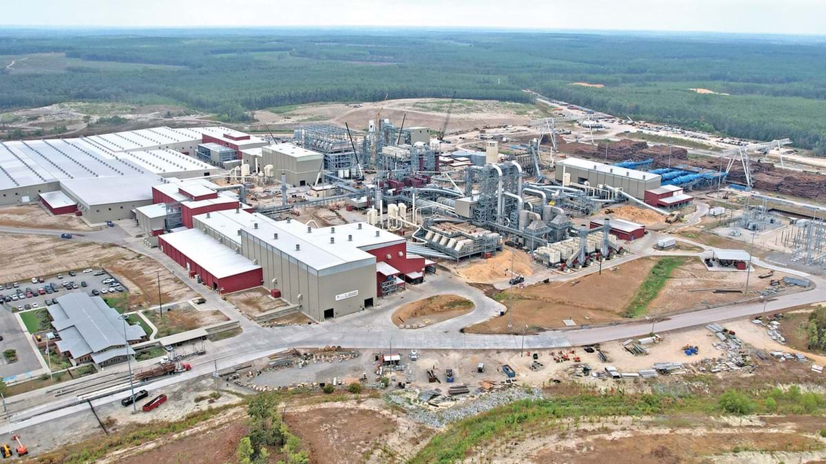
With every generation, the company has diversified and grown its forest holdings and mill operations to become more vertically integrated. It added retail lumberyards early on, then expanded into hardwood sawmills in the 1980s, followed by yellow pine plywood mills in Louisiana, and oriented strand board (OSB) panel mills in Louisiana and Texas.
The move to OSB allows RoyOMartin to make use of smaller trees that are thinned as the forest grows. OSB is environmentally friendly and indicative of the company’s ethos to not waste any effort. The family is committed to the stewardship of their land so RoyOMartin can continue operations far into the future.
Recent market contractions threaten traditional uses for timber, but RoyOMartin’s investment in tech innovation supports strategic moves to new opportunities.
“We just had a paper mill close last month, which will severely impact pulpwood thinning operations for any landowner within an 80-mile radius,” Martin said.
Amid these challenges, an intriguing opportunity has emerged in central Louisiana that could fill the looming gap for young trees. SunGas Renewables has proposed opening a green methanol production facility nearby.
“They’re going to be converting biomass into methane because their largest customer is Maersk, the shipping giant, which wants to purchase 30 percent of their fuel as green methane,” Martin said.
The facility would consume two million tons of pulpwood, and the output would link to the newly opened liquified natural gas export facility on the coast of Louisiana.
To counteract market competition and buffer against the loss of pulpwood markets, RoyOMartin has intensified its focus on operational efficiency and proactive risk management.
The company’s use of GIS to track forest conditions, growth rates, and optimal harvest times provides the contextual awareness needed for precise planning and sustainable management.
GIS also gives RoyOMartin leadership real-time awareness of its own timber resources and that of suppliers. “We don’t exclusively cut our own timber for our mills. It’s about 50 percent outside wood to 50 percent company owned wood,” Martin said. This balance provides stability in an industry known for price volatility.
The company has extended its application of GIS to benefit stakeholder relationships. Specialized GIS portals give logging contractors access to maps, invoices, and contracts. “The things that we can now push out to the tablet or phone is just really a game changer for how we conduct forestry operations,” Martin said.
When asked about his vision for the future, Martin offered a succinct summary: “Less paper internally and more sharing externally.” This simple philosophy guides the company’s ongoing digital transformation.
A fifth generation of family leadership will soon take charge at RoyOMartin. They inherit a company with workflows optimized to produce abundant, high-quality lumber and construction materials while pioneering new applications for forest products.
Learn how GIS provides a new window into forestry operations. Learn more about how GIS helps communities develop strategies to provide affordable, accessible, and attainable housing options for every resident.