
January 29, 2026 |
Sunny Fleming | Conservation
February 24, 2026
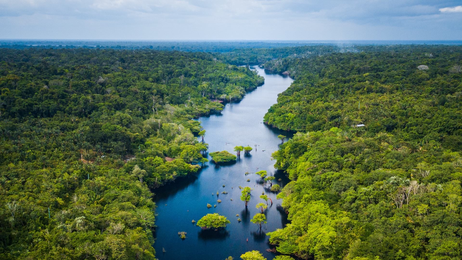
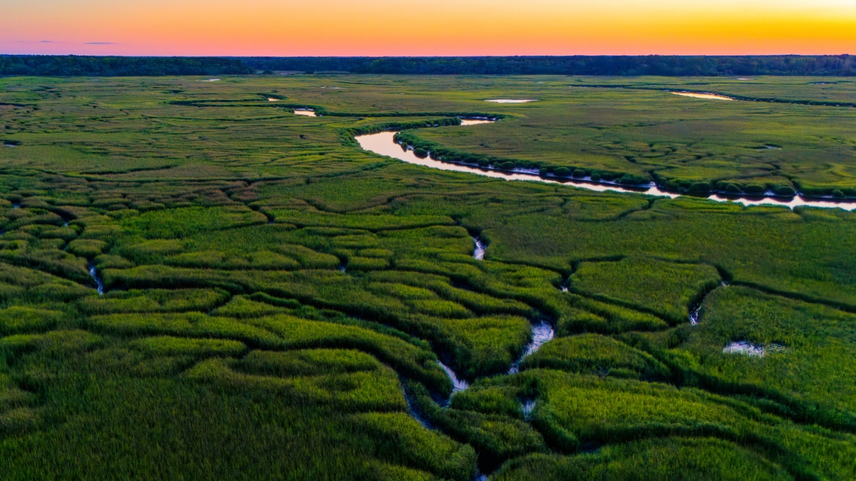
The Savannah River’s headwaters are high in the Blue Ridge Mountains, cold streams on the edge of a continental divide that guides them east toward the Atlantic Ocean. By the end of the 350-mile journey, these waters have fed one of North America’s most biodiverse watersheds.
And that’s just one of eight major river basins that run through South Carolina, a high count that reflects the state’s varied terrain and hydrology.
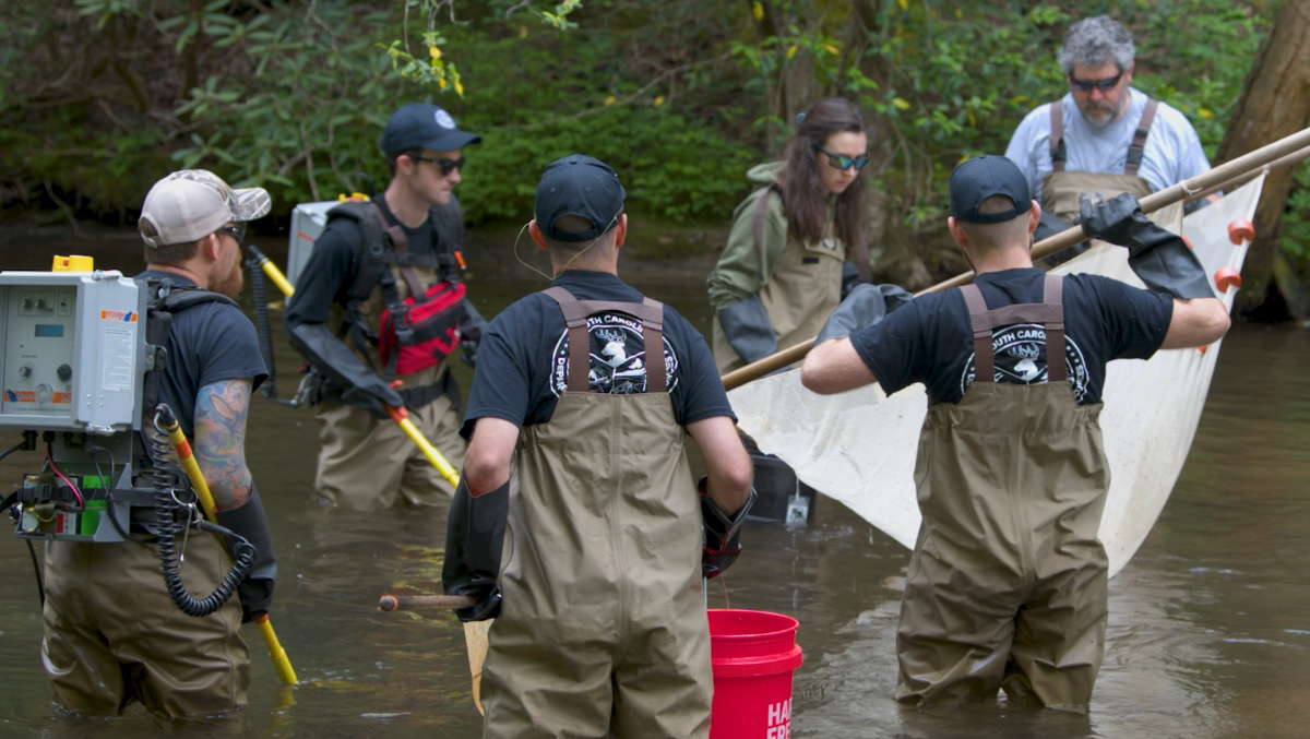
To protect this aquatic habitat, the South Carolina Department of Natural Resources (SCDNR) developed the Aquatic Planning Tool. Created with wildlife officials from North Carolina and Georgia, the states it shares watersheds with, and Clemson University scientists, the tool takes a basin-level approach to freshwater fish conservation.
It uses geographic information system (GIS) technology to understand how and where to protect fish species. It maps where species live today and projects where they will survive a century from now, when the condition of the river basins could be dramatically different.
SCDNR plans to launch the tool in 2026, to coincide with the release of South Carolina’s new State Wildlife Action Plan (SWAP). Most states are required to update their SWAP every 10 years—for SCDNR, 2025 marked that milestone.
More than an inventory, a SWAP is a blueprint for preventing decline. The plan aims to protect species and habitats before they reach crisis, not after.
The Aquatic Planning Tool follows this proactive philosophy. It’s not merely a measure of the current health of populations; it connects species health to land-use decisions and climate projections.
The goal was to make a tool that could show how many species are in the state’s watershed basins now. It can also show how that might change in the future, given things like weather and land-cover changes, said Joe Lemeris, who until recently managed SCDNR’s GIS program. “The tool is a way for us to understand how the change can impact certain species in different scenarios.”
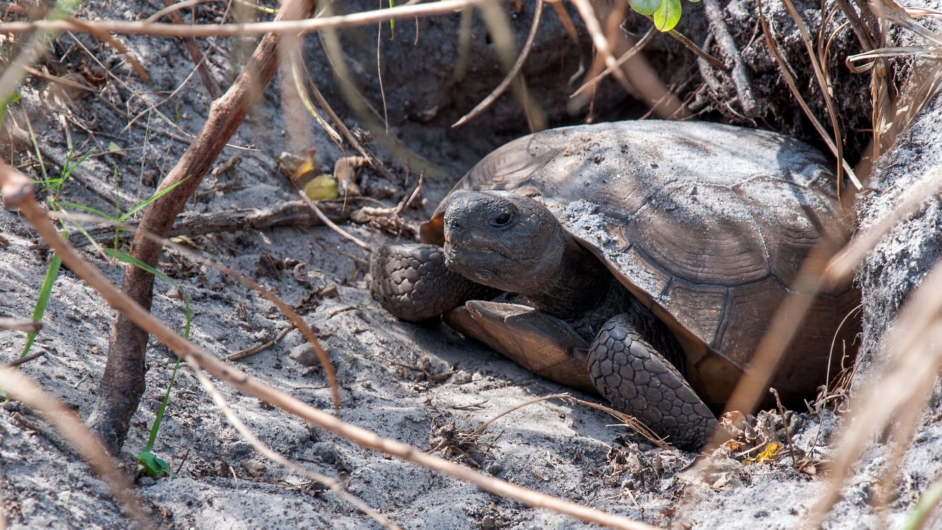
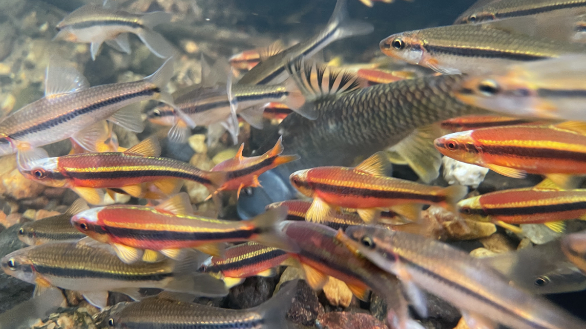
In its 2025 SWAP, SCDNR found 53 freshwater fish that fit the criteria for “species of greatest conservation need,” representing 36 percent of all fish species in South Carolina’s rivers. An additional 13 freshwater fish species of greatest conservation need identified by the 2025 North Carolina SWAP are also included in the tool to support basin-wide conservation efforts.
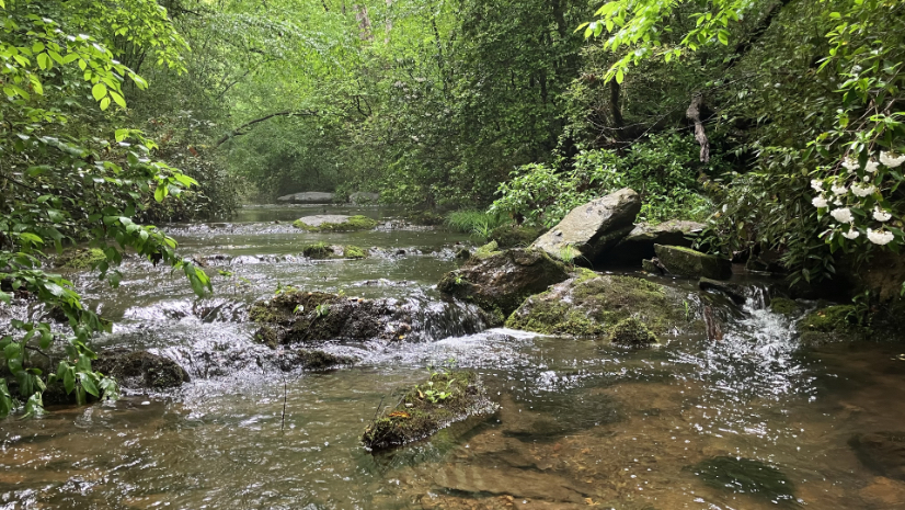
As the tool’s name implies, the emphasis was on streams and tributaries, rather than larger rivers, and for good reason.
Streams are the dominant habitat for aquatic life in river basins. Their health is directly affected by land use, watershed management, and disturbances upstream. This makes stream assessment a sensitive indicator of both local and regional conditions.
Identifying species was the first step; next came geography. South Carolina’s eight river basins contain over 28,000 miles of streams and tributaries, a distance larger than Earth’s circumference. SCDNR, in close consultation with scientists, tackled this immensity and complexity by narrowing the focus down to a few key locations.
“The underlying data comes from predictions across a basin of where a species is expected to be,” Lemeris said. “We feed data into several models, depending on the species, and then we average those models together.”

The tool’s power lies in its interactivity. Users can test the effect of different changes to the habitat.
“There are slider bars that adjust the percentage of forest cover, urban cover, and whatever else is important for that species,” Lemeris said. “You click and it reruns the model for that local catchment drainage area, and projects both the original and modified data.”
The tool doesn’t just model isolated impacts; it traces ripple effects downstream.
“You can zoom into a catchment and modify it because you know there are plans for development that will reduce forest cover by 20 percent,” Lemeris said. “It tells you how that could affect other catchments downstream.”
The tool allows SCDNR to make conservation recommendations, taking both the short and long views. To anticipate how climate change may affect freshwater biodiversity, the tool models present-day species distributions alongside projected distributions under multiple future climate scenarios through the year 2100. These scenarios reflect different levels of global climate action, helping users understand the range of potential outcomes for freshwater fish.
“It’s important to know what we have now, so we know how to protect it,” Lemeris said. “But it’s equally important to know what we’ll have 50 or 100 years in the future. There may be places not currently protected that we need to protect now. They could become strongholds even if the rest of an animal’s range is lost.”
The vision extends beyond fish. Although the Aquatic Planning Tool currently focuses on 66 fish, Lemeris considers it a conceptual prototype. As the framework matures, its scope will grow.
“Right now, we’re focusing on freshwater fish,” he said. “But once this tool is out for a little while, we can start to explore what data might be available for modeling other suites of species, like crayfish and freshwater mussels. We’ll expand the number of taxa so that we have a more holistic view of how water bodies are being impacted.”
Learn how GIS is used to halt and reverse biodiversity loss and put nature on a path to recovery.