

August 25, 2020 |
Multiple Authors | GIS for Good
February 24, 2022
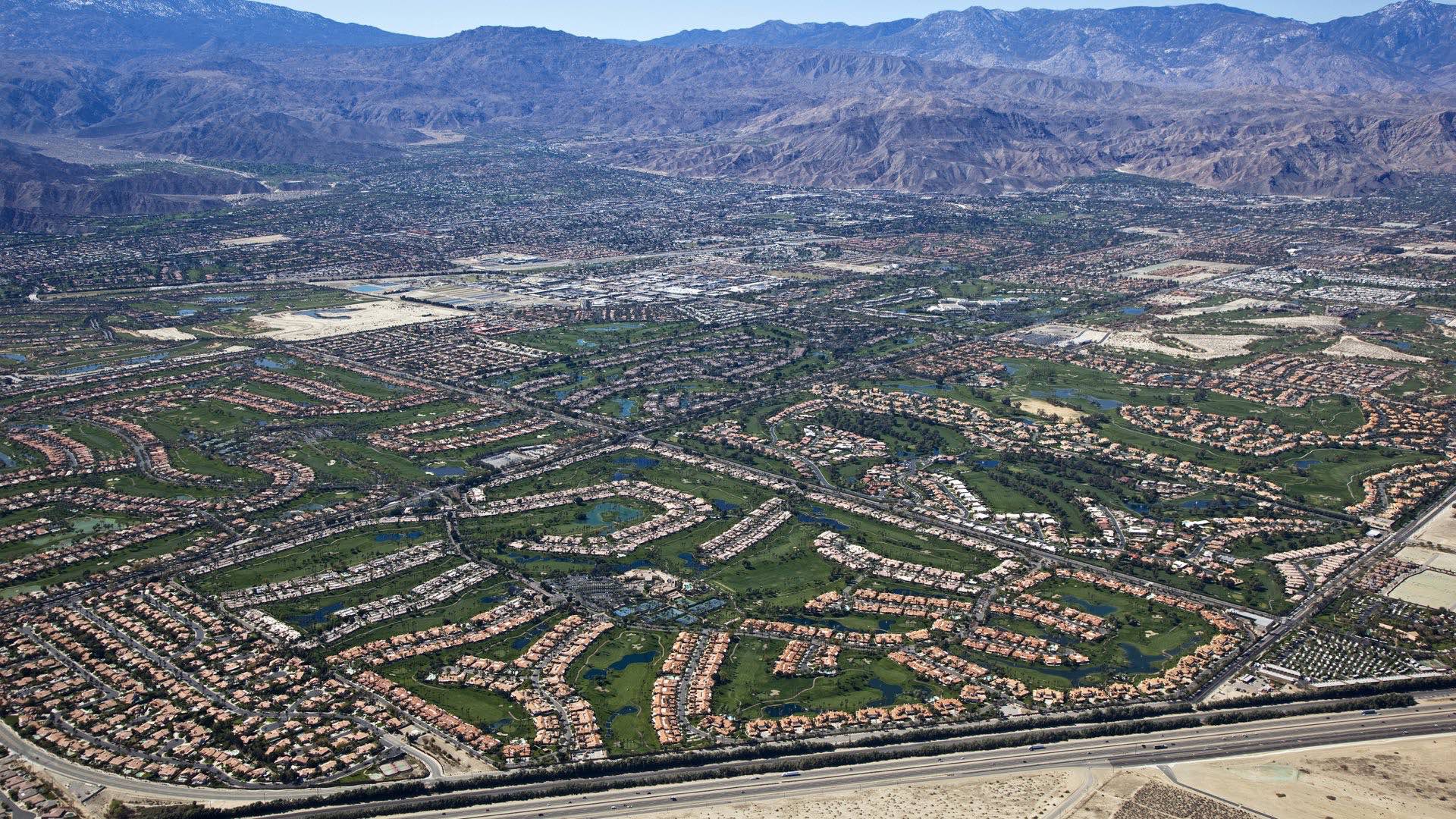
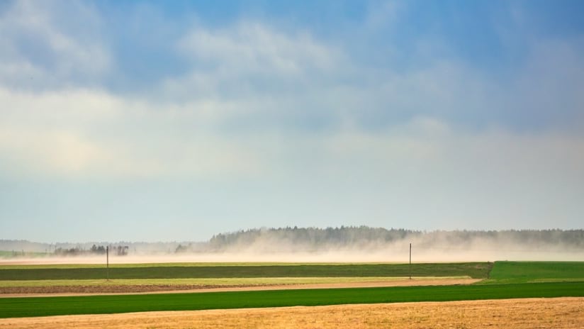
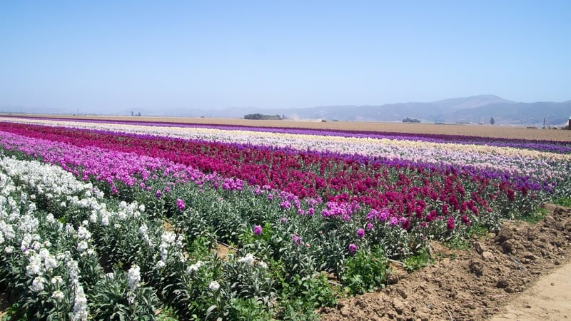
When it comes to agriculture in California—where the US draws more than a third of its vegetables and two-thirds of its fruits and nuts—one company keeps an eye on water usage to ensure the resource remains sustainable.
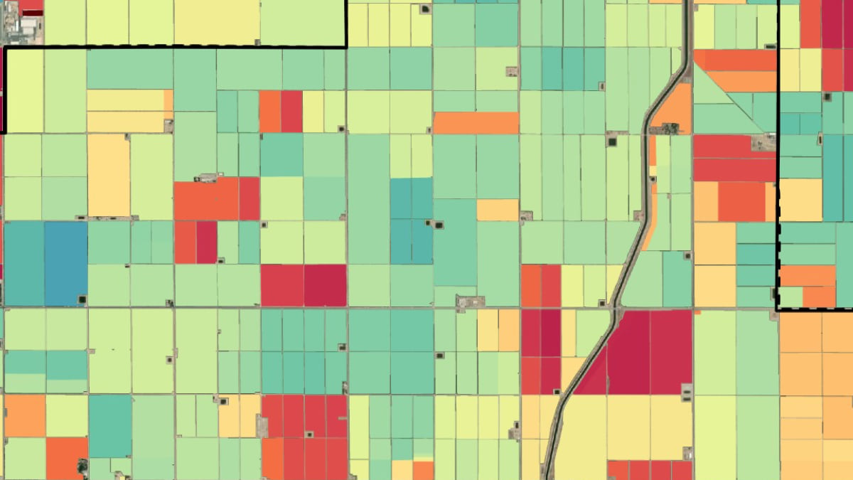
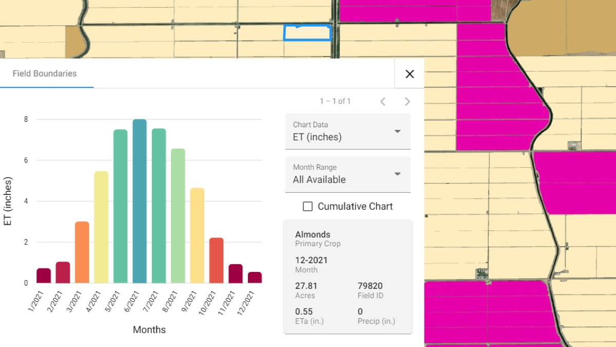
For years, Land IQ has documented more than 420,000 individual fields of crops statewide via remote sensors, satellite imagery, and in-person verifications spanning more than 15,000 miles annually. In three California counties critical to the state’s agricultural production, the company also tracks how much water each field is using. The data, made visible on maps via a geographic information system (GIS), gets reported to local water resource managers. These smart maps support officials monitoring the state’s water supply and farmers making decisions that must balance economics with protecting natural resources.
In the early days, some growers may have been wary of the tech-enabled surveillance of their water use. Now, with the state in a prolonged drought, Land IQ’s co-owner Joel Kimmelshue said his firm rarely encounters pushback. Growers want reliable, accurate, and defensible information too, since their livelihoods depend on a steady supply of water, he said. The emphasis is on facts. Land IQ doesn’t advocate for one group over another, only the science.
“Farmers are very adaptable. Very wise. And they’ve had to become that way because they’ve had to adapt to change,” said Kimmelshue, who is also the firm’s principal soil and agricultural scientist.
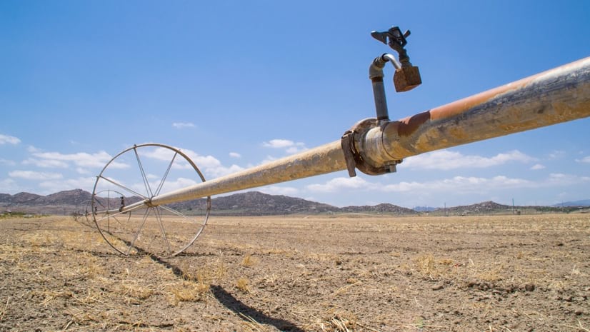
Kimmelshue predicts dramatic changes to landscapes in the years to come as many growers opt to let land go fallow rather than irrigate it. Water markets are also emerging with investors buying land simply to sell the water rights to developers elsewhere in need of the resource.
“The drought affects everybody, but it affects some people more than others,” he said. “In some areas, a landowner might have an unquestionably secure water right. In others, a grower might be told to go from using three-acre feet of water to less than an acre foot, a stark reduction.”
There’s a domino effect, too. A grower told to use less water often grows fewer crops, if any at all. That means less crops making their way to stores and restaurants, resulting in higher prices.
“I don’t think people fully understand the magnitude of the drought and its effect on food security,” said Mica Heilmann, co-owner and principal agricultural and spatial scientist with Land IQ.
California’s Sustainable Groundwater Management Act of 2014 required the formation of a network of regional groundwater sustainability agencies across the state to manage the scarce water supply. Each area must show that groundwater isn’t being overdrafted. The California Department of Water Resources reviews plans developed at the local level that, once approved, dictate who gets to pump, how much, and where, using maps and data from Land IQ to inform those important decisions.
It isn’t as easy as simply noting how much water has been pumped. Much of what’s pumped out seeps back underground. By measuring evapotranspiration—the amount of water that leaves plants and the soil for the atmosphere—Land IQ scientists can determine water use field by field within a slim margin of error, plus-or-minus 5-7 percent. That’s because crops each take in and emit a certain amount of water depending on their type and maturity as well as climate conditions. The levels of evapotranspiration are physically measured by Land IQ on the ground using a network of nearly 100 weather stations.
If Land IQ is looking at an alfalfa field, for example, and taps one of the hundreds of nearby stations for data, its analysts can determine how much water is being used at that specific location.
“We have to have those high accuracies,” said Kimmelshue. “If you can save five percent of water over 100,000 acres, we’re talking about millions of dollars of value each year.”
Because the stakes are so high, Land IQ does extensive ground truthing. Its crop scientists drive more than 15,000 miles across the state each year to calibrate and independently validate results for mapping crops statewide. The work involves affirming, for example, that an area of land that sensors indicated was a field of strawberries is in fact strawberries and not lettuce. The team uses a location-aware survey app powered by GIS on tablets, pinpointing that yes, those are indeed cherries on the left and alfalfa on the right, as they log every crop they drive past—more than 12 percent of the total number of fields in the state.
“The days of agricultural land use anonymity, or any land use anonymity, are over,” Kimmelshue said.
NASA has also gotten into the evapotranspiration business, launching OpenET to track water use in 17 western states. But Land IQ doesn’t see encroachment on what they do best: extensive in-person verification and focusing in detail on three key agricultural counties in California, ground zero for the water crisis. It’s also where many of the country’s almonds, apricots, dates, figs, kiwi fruit, nectarines, olives, pistachios, prunes, and walnuts are grown and much of the nation’s avocados, grapes, lemons, melons, peaches, plums, and strawberries. Only Florida produces more oranges.
Kimmelshue and Heilmann said they saw a need for scientific support in agricultural water use when they started Land IQ in 2007. Remote sensing and geospatial technology have been at the heart of what they’ve done, from the beginning. The California Almond Board has been a customer for 12 years and Land IQ’s GIS-powered maps show the shifting almond crop over time. The California Department of Water Resources also hired the company to map every field across the state, with the data available publicly online.
Land IQ’s owners expect agricultural water use to remain a focus for them going forward, although they’re acutely aware of circumstances that would require them to shift their attention, just like they did several years ago with drought conditions worsening.
Even before the Sustainable Groundwater Management Act stood up strict new regulations and drought declarations were made, the company’s leaders had already decided to take a more empirical approach to its water-use data gathering. They saw the need for even greater accuracy. Peoples’ livelihoods were, and still are, on the line. That’s when they incorporated more remote sensing into their approach, bridging spatial sciences and land-based sciences.
Just like growers, “we just have to be nimble,” Kimmelshue said.
Learn how water resource managers use GIS to monitor water quality and availability.