October 15, 2024 | Terry Bills | Infrastructure Utah DOT Transforms Construction with Digital Delivery
August 13, 2024 | Carrie Speranza | Public Safety Ready for Anything, Iowa’s Scott County Trusts GIS in Emergencies
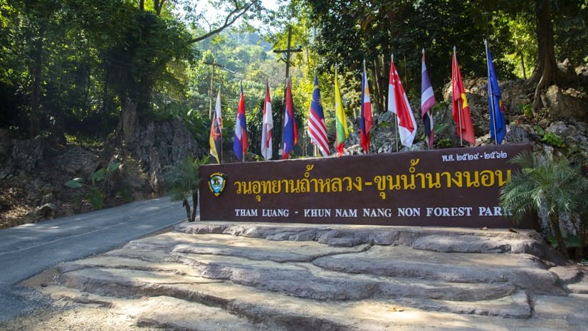
August 4, 2022 | Ryan Lanclos | Public Safety "Thirteen Lives": How the Thai Cave Rescue Exemplifies Collaborative Action
May 10, 2022 | Nick O'Day | Mapping Q&A: Open Data Gives Los Angeles a Boost in Community Collaboration
November 23, 2021 | Greg Milner | Public Safety After the Evacuation of Afghanistan, Offering Hope to Those Left Behind
February 23, 2021 | Ryan Lanclos | Public Safety Location Intelligence Empowers Aid Organizations to Act as One
December 14, 2020 | Christopher Thomas | Mapping York Region Pioneers Next-Level Local Government Collaboration
April 29, 2020 | Multiple Authors | Mapping GISCorps Builds an Authoritative Map of COVID-19 Testing Sites
April 8, 2020 | Richard Leadbeater | GIS for Good COVID-19: Pennsylvania Counties Assess Economic Fallout with Shared Maps
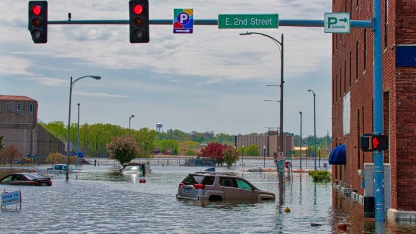
December 10, 2019 | Christa Campbell | Resilience Dubuque Tackles Chronic Flooding, Restoring Resilience to a Disadvantaged Area
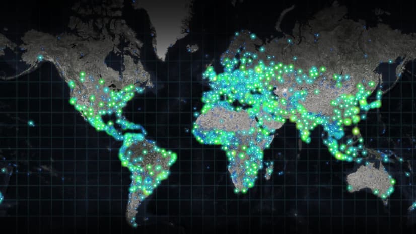
October 22, 2019 | Dr. Dawn Wright | Mapping Global Citizen Science Effort Marks the Fiftieth Anniversary of Earth Day
September 24, 2019 | Jen Van Deusen | Infrastructure Assessing Economic Water Scarcity Needs with GIS and AI
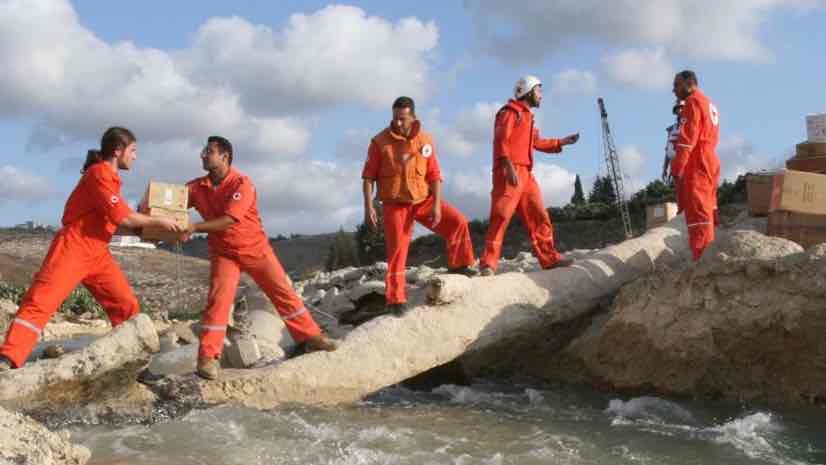
August 6, 2019 | Ryan Lanclos | GIS for Good Lebanese Red Cross Use Location Intelligence to Deliver Aid and Build Trust
June 19, 2019 | Carl Walter | Public Safety Behind the Scenes at the Super Bowl: Real-time Data, Maps
April 18, 2018 | Lauren Lipovic | Mapping Curators at the Library of Congress Open Access to Collections with Story Maps