displaying 1000 results
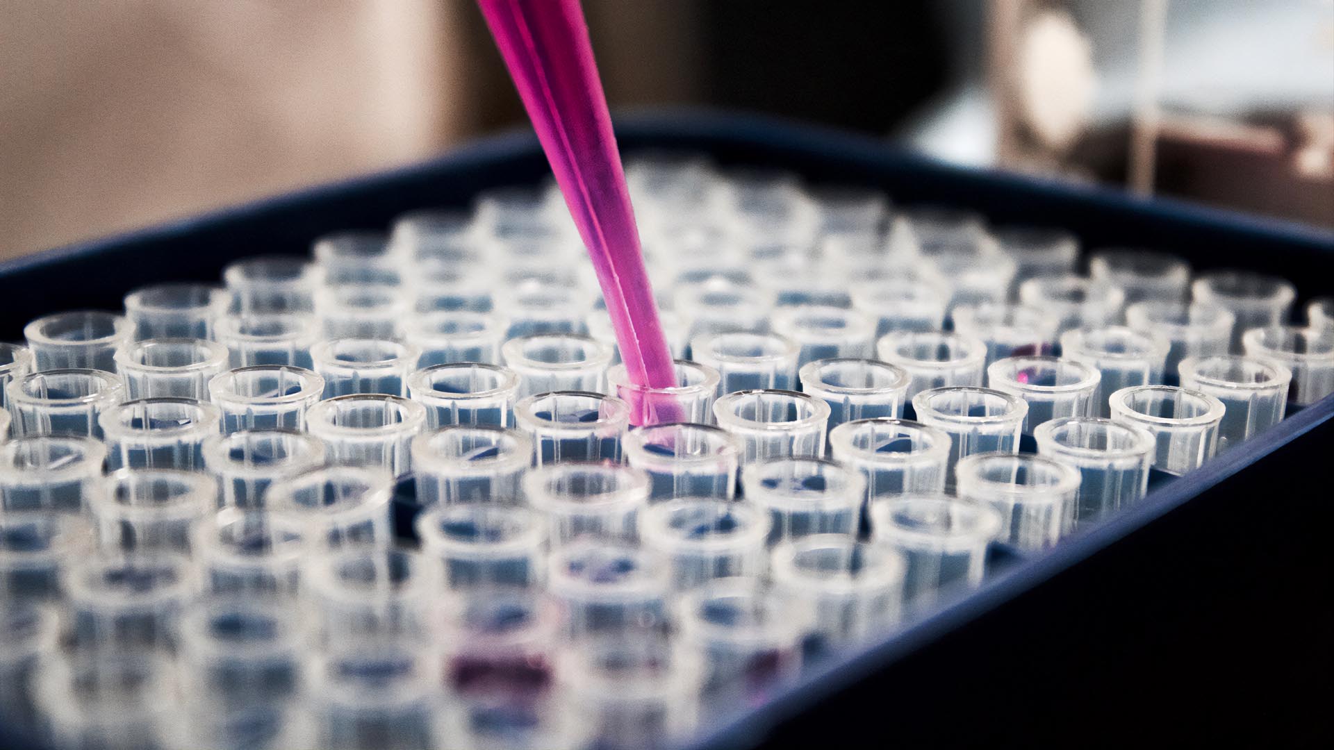
The Alabama Department of Public Health has used GIS in dealing with issues such as the Zika virus, opioid abuse, and the COVID-19 pandemic.
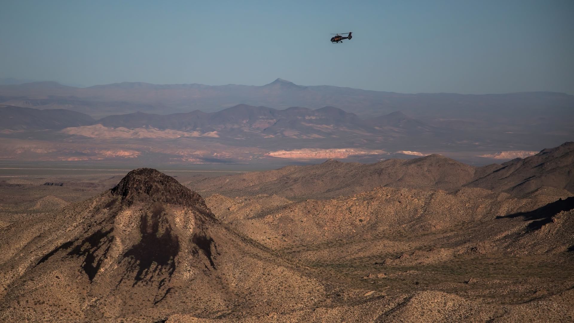
Nevada Department of Wildlife biologists use GIS to piece together a landscape-level understanding of wildlife and ecosystem health.
COVID-19 vaccines will be distributed through a global cold chain that is inherently inefficient. Location intelligence will be key.
Learn the role that geospatial technology plays in better understanding the spread of disease and the environmental risks to our health.
Loma Linda University Health (LLUH) used GIS technology from Esri and map data from HERE to create an application that would help LLUH...

While geospatial data is key to science, governments, and businesses, it is difficult data to share securely. But a solution is coming.

The Trust for Public Land used GIS to analyze the benefits and fiscal impacts of public parks and open spaces in New York City.
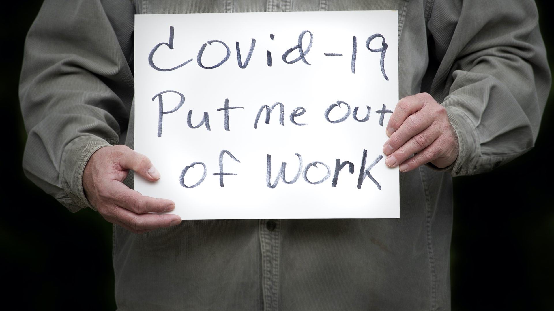
Kentucky mapped and modeled the vulnerability of people and businesses to guide both through the crisis.
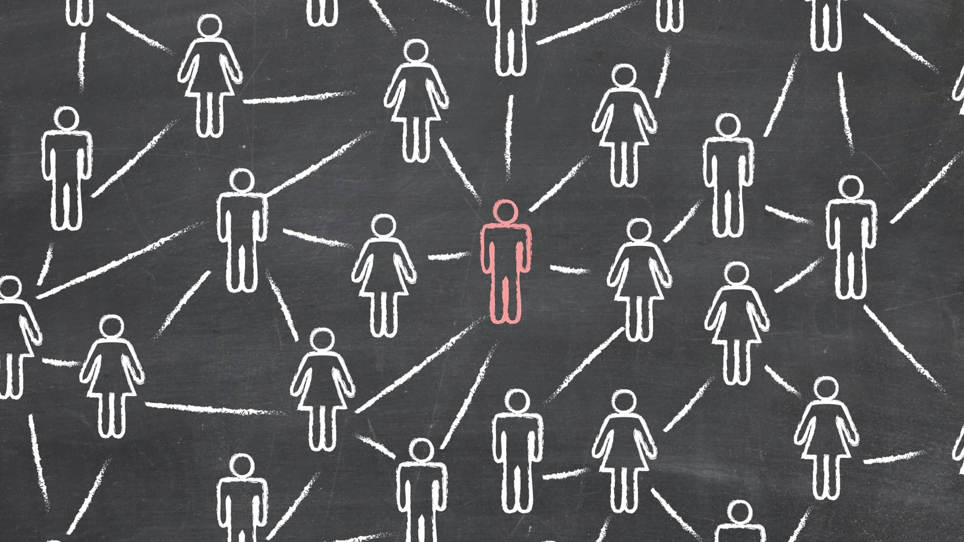
The Center for Human Dynamics in the Mobile Age uses a geographic lens to examine social media feeds to better understand human interactions.

Erik Steiner from Stanford University explains how location technology is tackling global challenges to sustainability and public health.
Leverage GIS to support equity objectives, empower staff to take action, track program effectiveness, and communicate results.