displaying 888 results
Residents, students, and businesses now have easy access to public information.

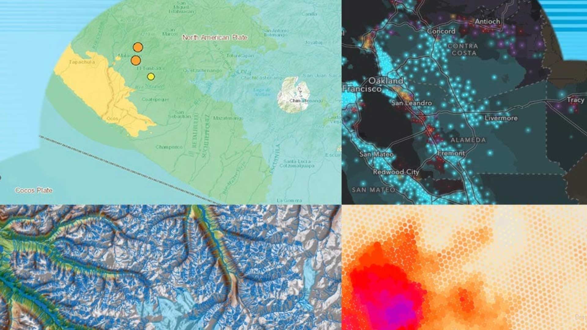
Businesses use location tech to anticipate new markets as aging populations alter economies, lifestyles, and housing needs around the world.

City of Salem, Oregon, staff used a map-based emergency management approach to prioritize ice storm response.

Dubuque uses GIS to solve a chronic flooding problem in an underserved community, ensuring resilience of both infrastructure and citizens.

The power of GIS rises from the unique way it connects seemingly unrelated information through location.
Want to build Web GIS applications without doing complicated programming? Developer Pinde Fu shows you how in his new workbook.

ArcGIS StoryMaps now has additional typefaces. Learn how to make more intelligent type choices.
Create design scenarios and edit, collaborate on, and share designs using the online geospatial tools in Esri's new GeoPlanner...
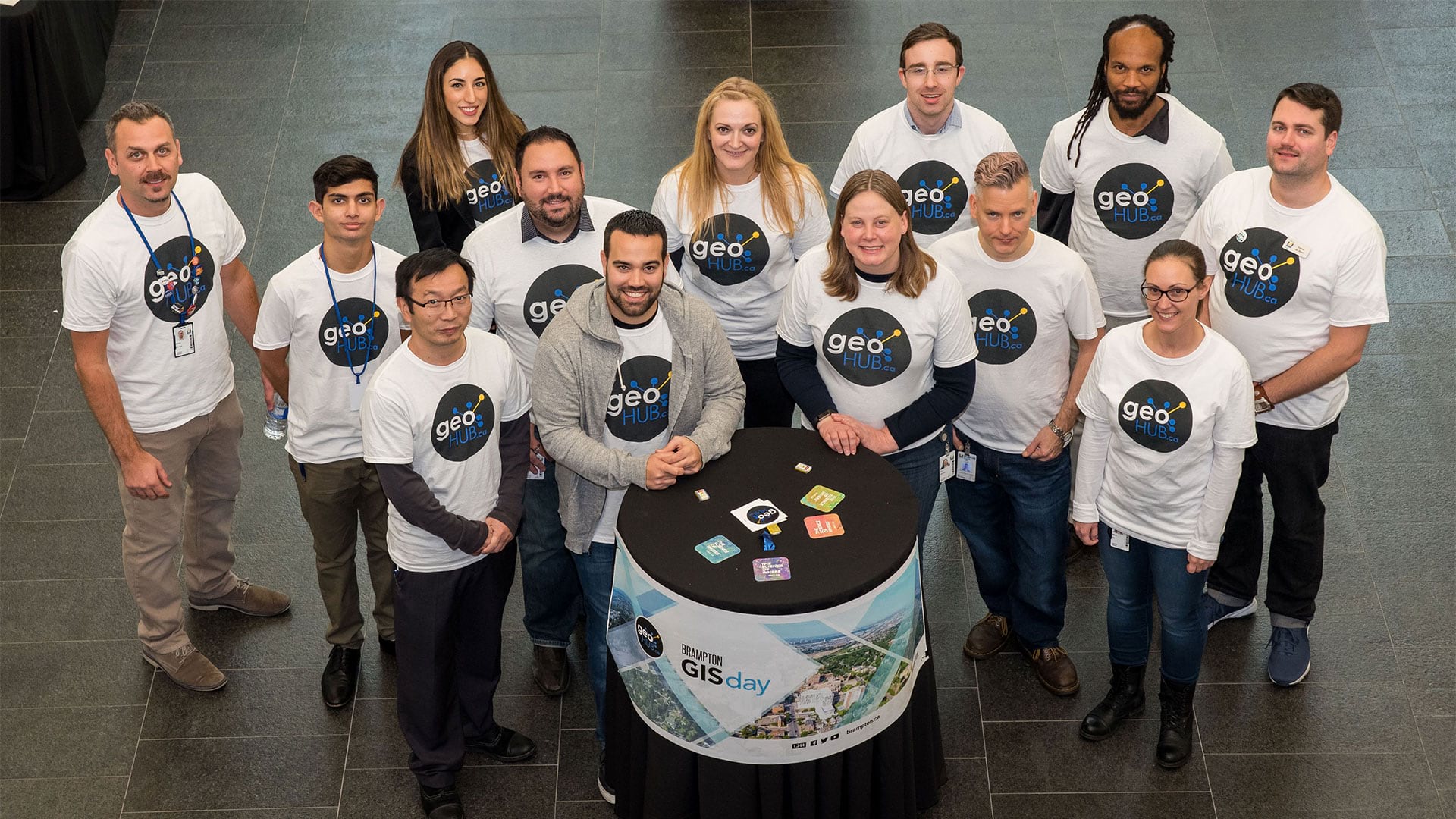
Los Angeles mayor Eric Garcetti unveils Los Angeles GeoHub, an online portal that contains the city’s location-based data and several ready-to-us

Esri is hiring smart people with all levels of experience for positions at our headquarters, regional offices, and R&D Centers.
These articles also show how a spatial perspective enabled by location technology can be transformative.