displaying 884 results

Know how to save the settings for layers and maps will save you time.
Esri has just added new capabilities to ArcGIS Online, including enhancements to smart mapping, scene viewer, and analysis tools.

A city in the Czech Republic used ArcGIS Hub to enable widespread use of dynamic city data in a variety of projects and systems.
Guoping Huang from the University of Virginia created the Charlottesville Bicycle Map, a web app for finding bikeable routes.

The focus of three new Esri books will be how to use GIS for science, smarter government, and the census with a fourth devoted to geodatabases.

The town of Normal, home to Rivian, unveils a GIS-based infrastructure project dashboard for staff and the community.

The Maryland Department of Transportation created a site called Project Portal to give the public a dynamic map of statewide roadway projects.

Claudia Blagu from Ingka Investments explains the role location intelligence plays in actualizing sustainable business growth.
The city has used ArcGIS Workflow Manager for 10 years to monitor data edits and ensure data quality.
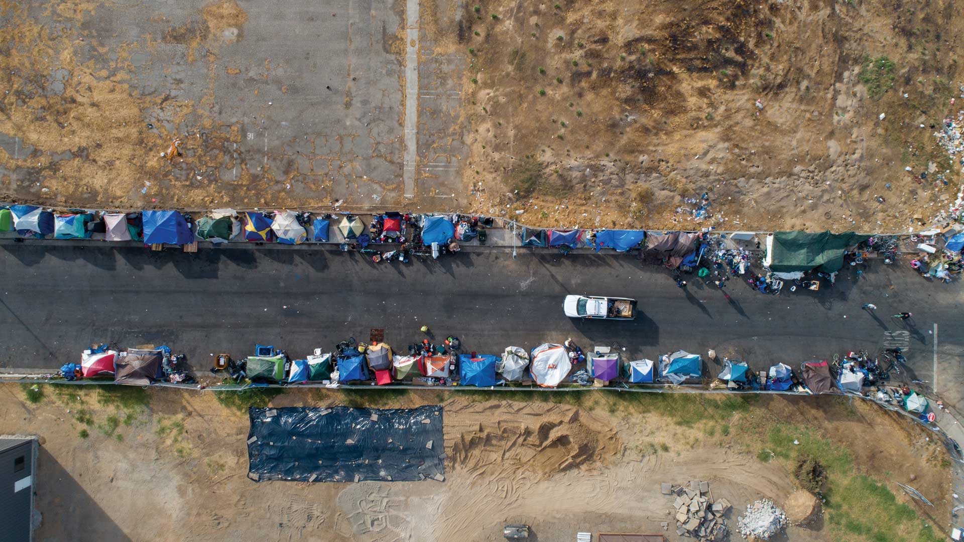
Volunteers used Survey123 for ArcGIS for this year’s point-in-time count of people experiencing homelessness. The results were invaluable.

New York Times best-selling author and business journalist Charles Fishman talks about the power of context for business continuity.