displaying 410 results
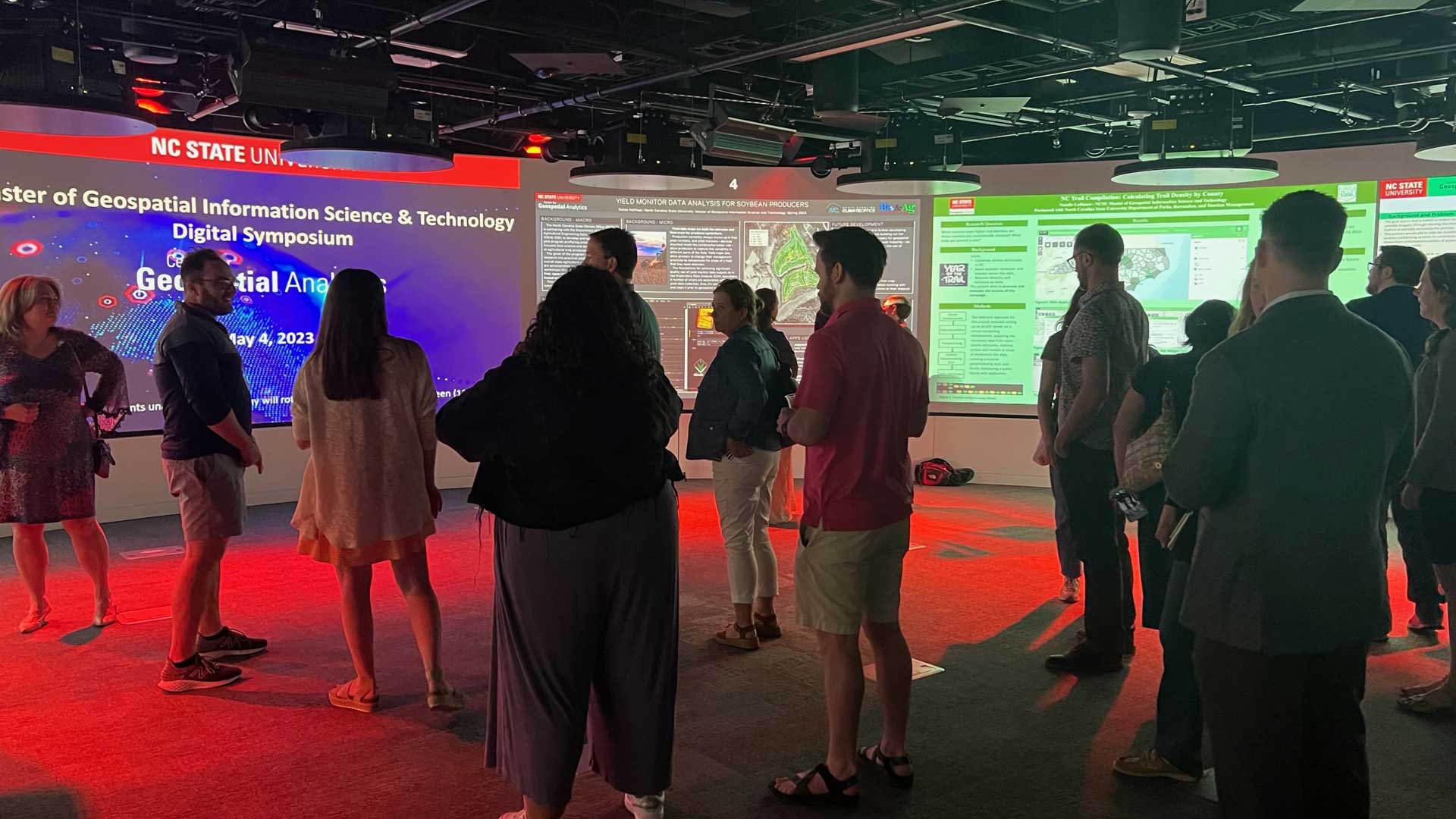
North Carolina State University’s (NCSU) Center for Geospatial Analytics program for graduate students incorporates hands-on application.
Los Angeles County’s Safe, Clean Water Program (SCWP) uses geospatial technology to manage 200 stormwater projects and studies.

The National Center for Missing & Exploited Children (NCMEC) use GIS to track child traffickers and missing children.

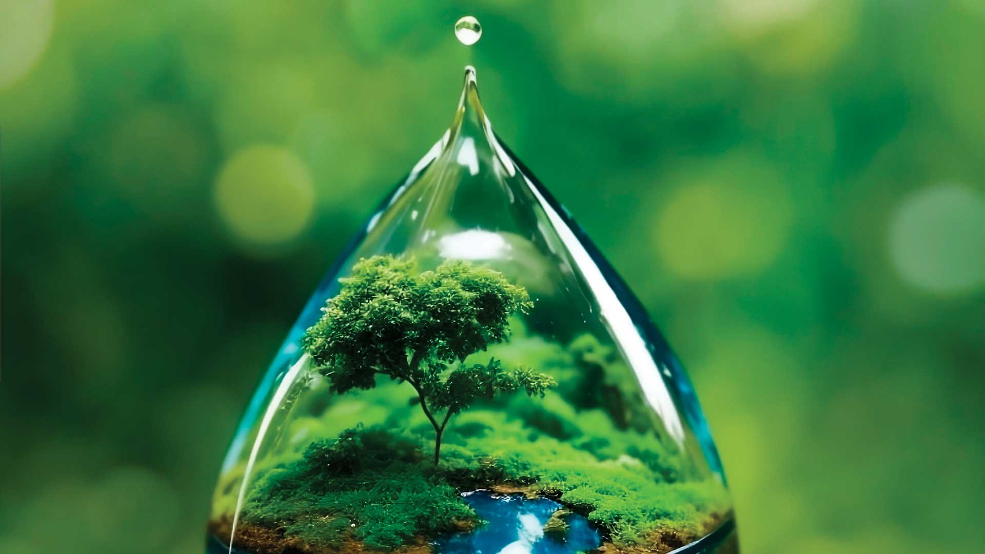
Water is essential to our future and that of the planet's and it is threatened by climate change.

Volunteers from the Geohazard Risk Mapping Initiative (GRMI) created tools to help Nigeria prepare for recurring flooding;

Geospatial data allows us to understand our current state, forecast challenges, and identify root causes of climate change.

The author applied the geographic approach and GIS to answer questions and help people throughout a diverse career.

Esri is contributing to scientific projects that are part of the UN Ocean Decade.

GIS provides ways to mitigate climate change challenges that provide reasons for hope.

World Terrestrial Ecosystems Map released; Esri named leader in understanding climate change; GeoAI helps sustainable agriculture in Africa

Researchers are using GIS to more effectively site tracking stations that gather data on migratory birds to help reverse population decreases.