displaying 4463 results

The difference between table relates and relationship classes and how and when to use them.

Follow these guidelines when using Jupyter Notebook to make them communicate your work effectively.
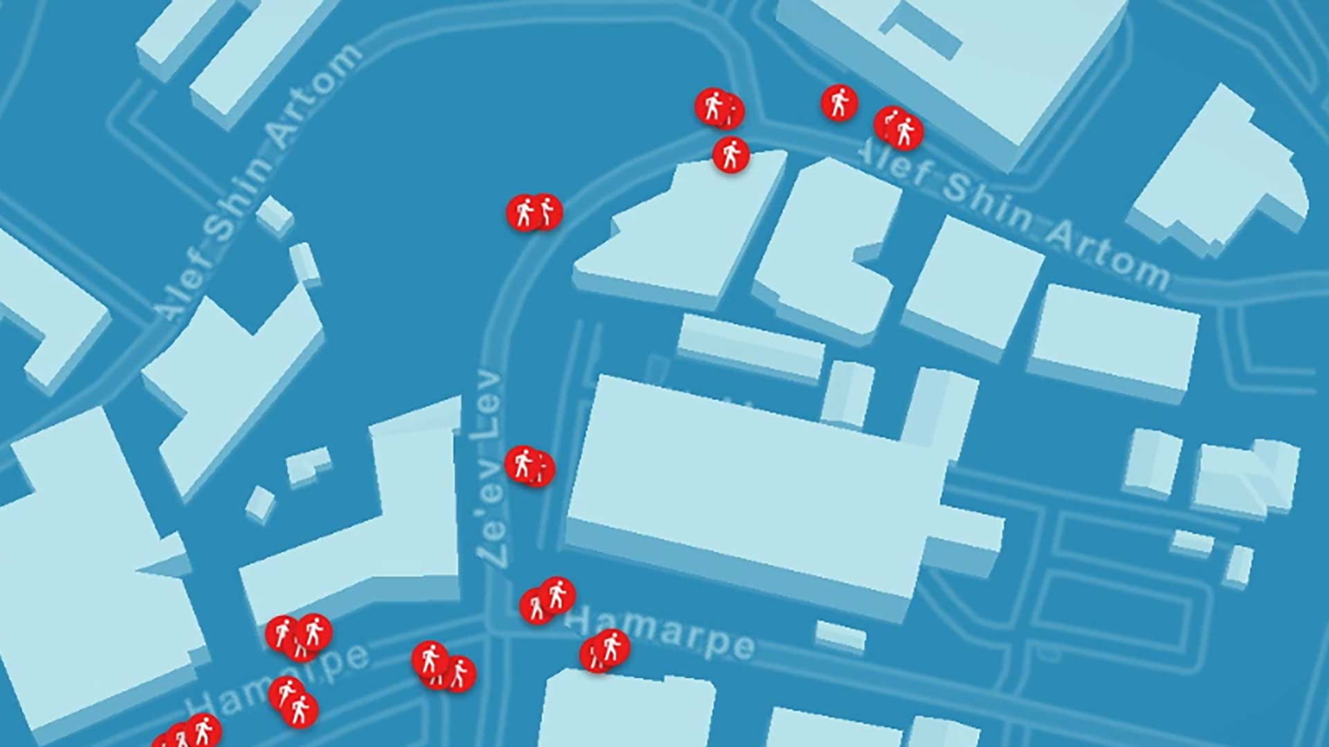
The spatial analysis capabilities in Esri’s software is used on the data collected by Mobileye's image recongition software.

While enjoying Arizona’s recreational opportunities, residents and visitors can help preserve its streams, washes, rivers, and lakes in just a…
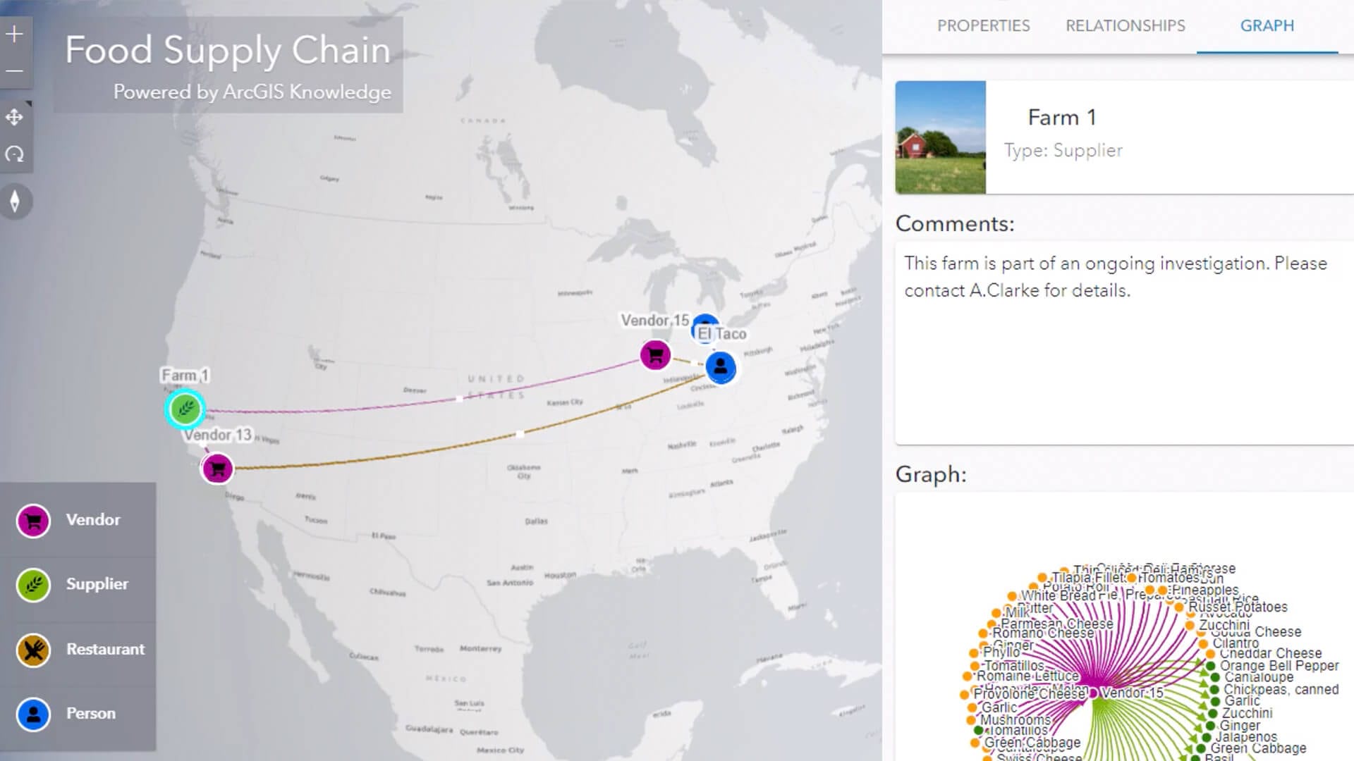
A new tool that maps supply chain relationships can help food service executives head off foodborne illness outbreaks.

A location data strategy shaped by social media insight can help companies navigate the fractured landscape of customers’ buying habits.

Kirby Brady, Chief Innovation Officer for the City of San Diego, explains how technology contextualizes civic decision making.