Here’s how far political polarization now stretches: Even your preference of jeans can have a partisan flair. Innovative companies are leaning on data analysis of geographic differences to navigate this new consumer trend.
As detailed in a recent Wall Street Journal article, the customer demographics of two major denim manufacturers, Levi’s and Wrangler, increasingly reflect political identity and the red state-blue state divide.
In 2004, 41 percent of the consumers buying Levi’s identified themselves as Democrats, while 37 percent identified as Republicans—a skew toward the Democrats of 4 percentage points, according to a WSJ analysis of MRI-Simmons data. The gap grew to seven points by 2018, with 39 percent reporting as Democrats and self-identified Republican buyers dropping to 32 percent.
Meanwhile, the customer base of Wrangler saw an even sharper shift—in this case, toward politically conservative buyers. Thirty-six percent of those buying Wrangler jeans self-identified as Republican in 2004, while 44 percent were Democrats. By 2018, the percentage of Republicans had jumped to 39 percent, while Democrats fell to 34 percent, a 13-point swing to the Republican side.
And it’s not just denim.
Ironing Out Political and Geographic Differences
Brands from Chick-fil-A to GMC to Coors have seen customers increasingly consolidate around political identities, or even gradually switch allegiances. In short, the country’s political divisions affect how Americans shop, and these preferences run along geographic lines.
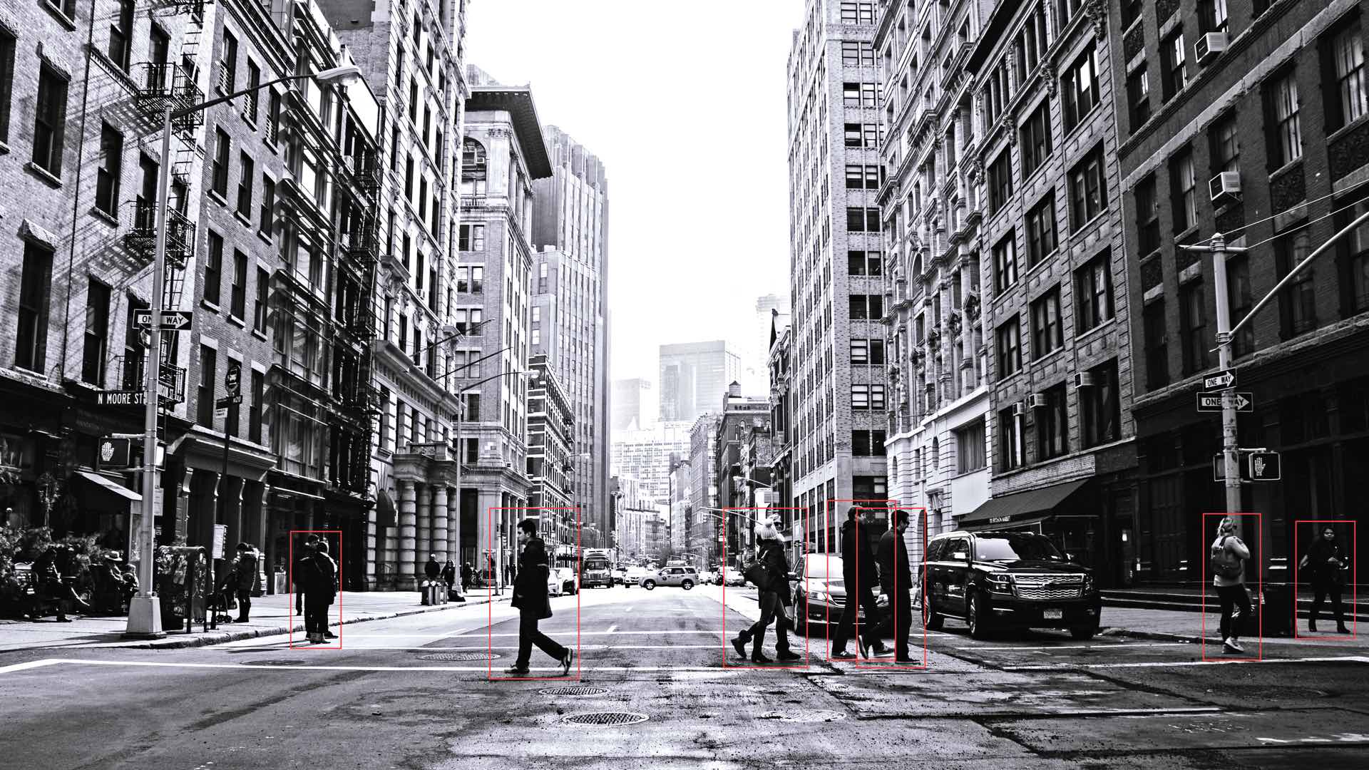
To craft a response to rising polarization and its influence on consumer buying patterns, executives need all available information about who and where their buyers are. A combination of location data provided by a GIS, or geographic information system, and social media data can give businesses the most accurate picture of their customer demographic.
A New Sociopolitical Reality for Commerce
As political tribes align themselves with specific brands, they force executives into delicate situations. Some companies have embraced customer causes, arguing that brands can no longer inhabit a “mushy middle.” Others try to stay out of the fray. For instance, Wrangler, which aims to make its manufacturing more sustainable and gives aid to military veterans, has not publicly supported traditionally conservative causes. But the company’s popularity has skewed to red states and regions, especially as Wrangler has supported and sponsored rodeos.
According to the Wall Street Journal reporting, the online advertising firm Connexity found that per capita online sales of Wrangler were much higher in solidly Republican states like Montana and Wyoming than in more urban-oriented locales. Those states, including California and New York, are retail bastions for Levi’s.
Whatever marketing path businesses choose, executives can’t afford to ignore the findings of location intelligence. The country’s political polarization is increasingly a geographic one, with liberal voters flocking to cities, and conservative voters dominating rural areas of the Midwest and West. By failing to account for the location valence of customer sentiment, senior leaders could be building flawed sales strategies; pouring investments into the wrong cities, regions, or neighborhoods; or wasting money on mistargeted advertising.
Social Media Insights
To avoid these costly misfires and stay on top of purchasing patterns, innovative companies enlist technology that not only locates and diagnoses the customer preferences of a state or metropolitan area but even pinpoints the preferences of residents at a neighborhood or block-group level.
Social media data in particular delivers a trove of such information. When analyzed and charted on GIS-based smart maps, that data guides companies toward profitable retail locations and effective marketing campaigns.
Some tech startups are using GIS to analyze billions of posts from social media sources like Facebook, Twitter, and Yelp. The posts reveal social behaviors at specific locations, which are aggregated into geospatial segments and used to forecast brand or product performance in targeted areas.
That’s just one example of how social data can be analyzed in GIS to extract otherwise invisible insights about anonymized groups of customers—an essential advantage amid the shifting political and cultural sands of the modern economy.
Forecasting with Greater Depth
As the US heads into the 2020 presidential elections, most political experts predict that the partisan divide will widen. Business executives will need to pay attention to how these volatile political currents affect their customer base, and how and where to best reach those buyers.
Basic demographic data alone can’t account for the complexities of 21st-century consumerism, where brand choices in automobiles or alcohol can be shaped as much by party leaning as by age or education levels. Location data, especially when enriched with social media insights, gives executives the most granular, detailed profile of their customers to help position a brand for an unpredictable future.
The Esri Brief
Trending insights from WhereNext and other leading publicationsTrending articles

December 5, 2024 |

June 2, 2026 |

May 26, 2026 |

April 7, 2026 |

February 17, 2026 |
January 4, 2023 |