displaying 396 results

Esri platform selected to chart Danish waters, ArcGIS Hub meets new federal open data requirements, and ArcGIS for Developers is relaunched.

Deaths from extreme summer heat are preventable so public health teams use online maps that show neighborhoods likely to experience extreme heat.
Map complex geometries and data with ArcGIS Maps SDKs for Native Apps.

University of Pittsburgh faculty use Esri resources to teach GIS skills.

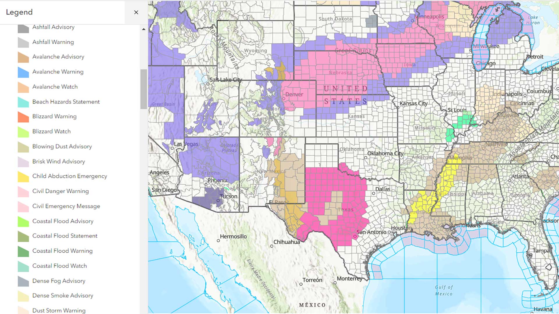
The Florida Division of Emergency Management used GIS to create a five-year hazard mitigation plan.

Sentinel-2 Land Cover Explorer; agreement between NASA and Esri; Esri joined Overture Maps
Advances in GIS technology give the world hope in the face of the challenges caused by climate change.

Researchers are using GIS to more effectively site tracking stations that gather data on migratory birds to help reverse population decreases.

After a pandemic-induced virtual hiatus, the Esri User Conference (Esri UC) was back as an in-person event July 11-15, 2022.
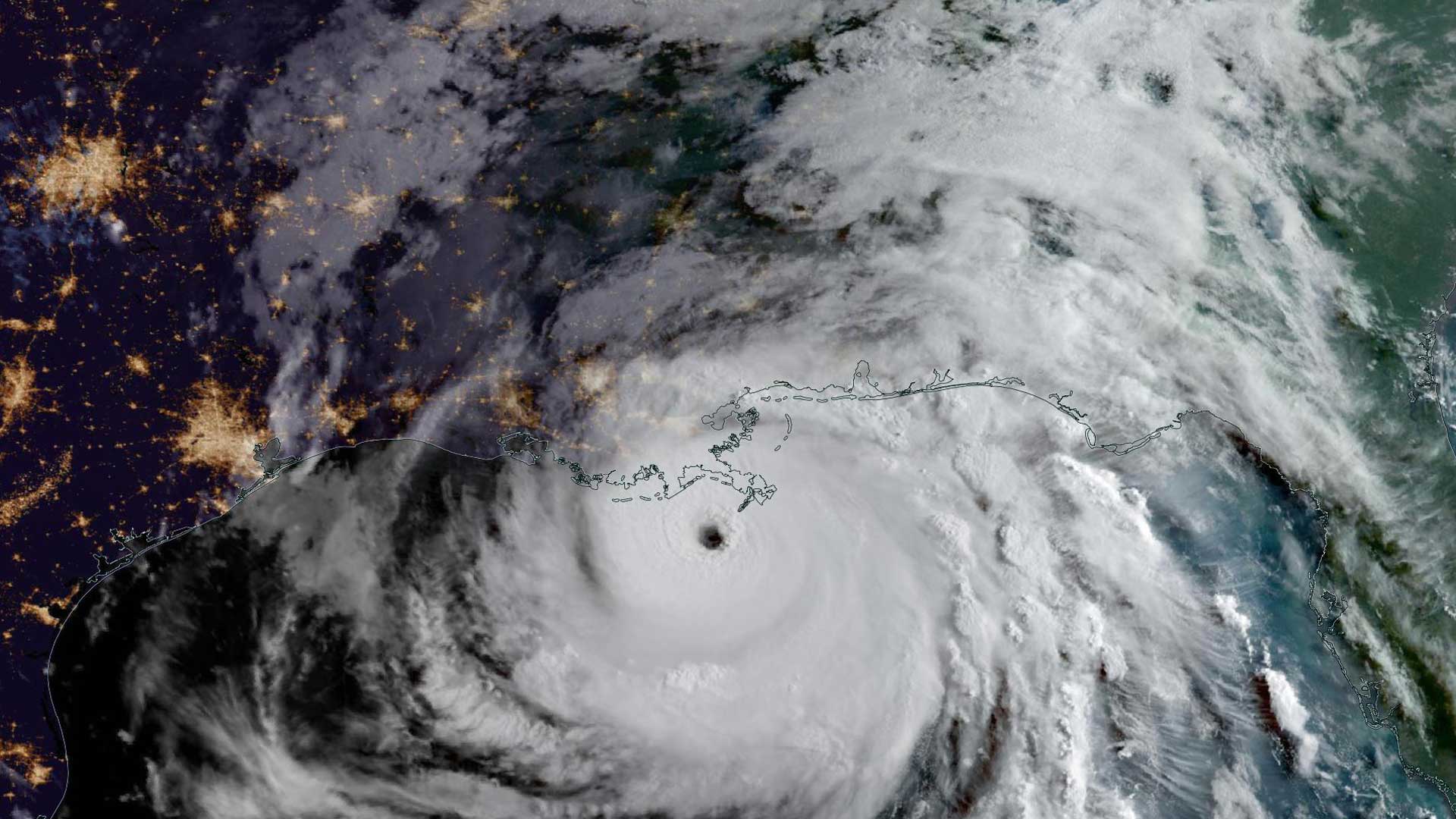
In 2021, Dewberry was asked to identify temporary housing locations for disaster survivors displaced by Hurricane Ida.

The effects of unequal access to broadband internet have been exacerbated by effects of the COVID-19 pandemic on some populations.

GIS for Science, Volume 2: Applying Mapping and Spatial Analytics and Smarter Government Workbook: A 14-Week Implementation Guide to Governing