displaying 998 results
Local governments & decision makers often have only limited access to the critical information necessary to support choices for managing social…
Esri will host an indoor drone demonstration at the Esri Imaging & Mapping Forum this summer.
Jennifer D. Bell, 26, pursues mapmaking with a passion. As a cartographic product engineer at Esri, she tests newly developed ArcGIS software...
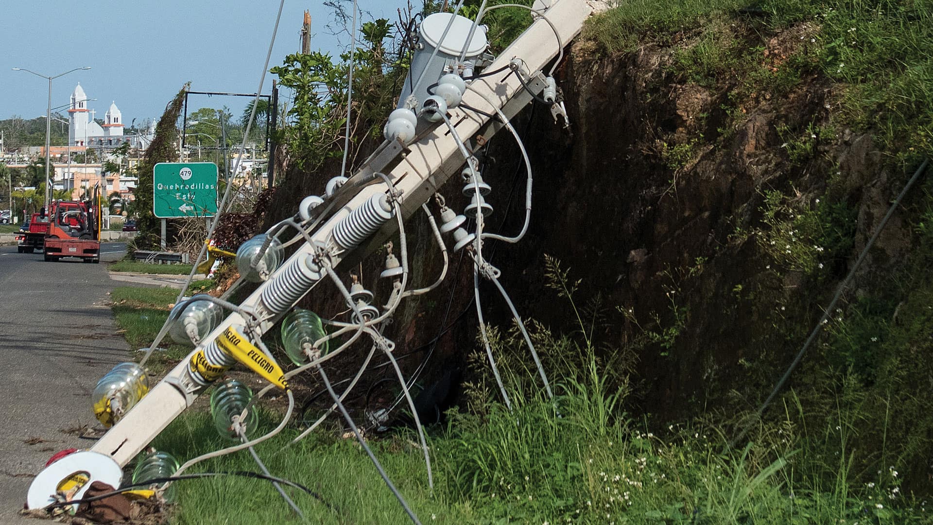
When Hurricane Maria left Puerto Rico in chaos with no communication networks, Esri distributor GMT got creative in its response efforts.

With GIS, international organizations can monitor and profile vulnerable populations to get them the help they need.
ArcGIS Enterprise is revolutionizing how Minnesota’s Three Rivers Park District manages land, people, and projects.
Irish Surveyor Helps Conserve Europe's Last Remaining Peatlands with Collector for ArcGIS
Electrical inspectors who work for the Washington State Department of Labor and Industries use the Navigator for ArcGIS app to get audible...
A blueprint for resilience and reduction, two essential practices for executives overseeing the long-term health of their business
In order to contain the spread of the flu, organizations can leverage GIS to mitigate its impact on communities.

Los Angeles County’s Safe, Clean Water Program (SCWP) uses geospatial technology to manage 200 stormwater projects and studies.

Master's programs at the University of Redlands, California prepare students to excel in GIS careers.