displaying 594 results

West Chester University uses a range of Esri technology to teach students about GIS and has introduced a new course on designing smart cities.

New books from Esri Press cover ArcGIS Pro, ArcGIS Desktop, crime analysis, and more. And three new children’s books teach kids about GIS!
Despite a global pandemic, the Esri community from around the world joined together in July to watch the first virtual Esri UC.

Esri’s new racial equity initiative aims to help users leverage location intelligence to address issues that revolve around race.

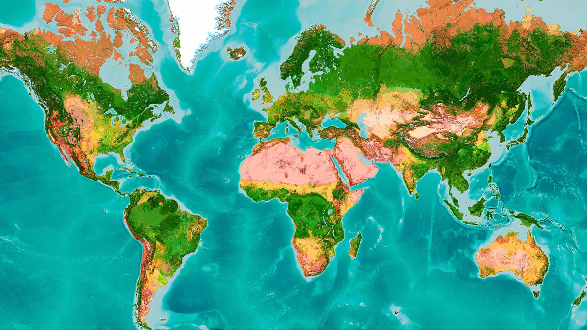
Science is part of Esri’s DNA, and what the world needs now is the power of deep, integrative geographic science.
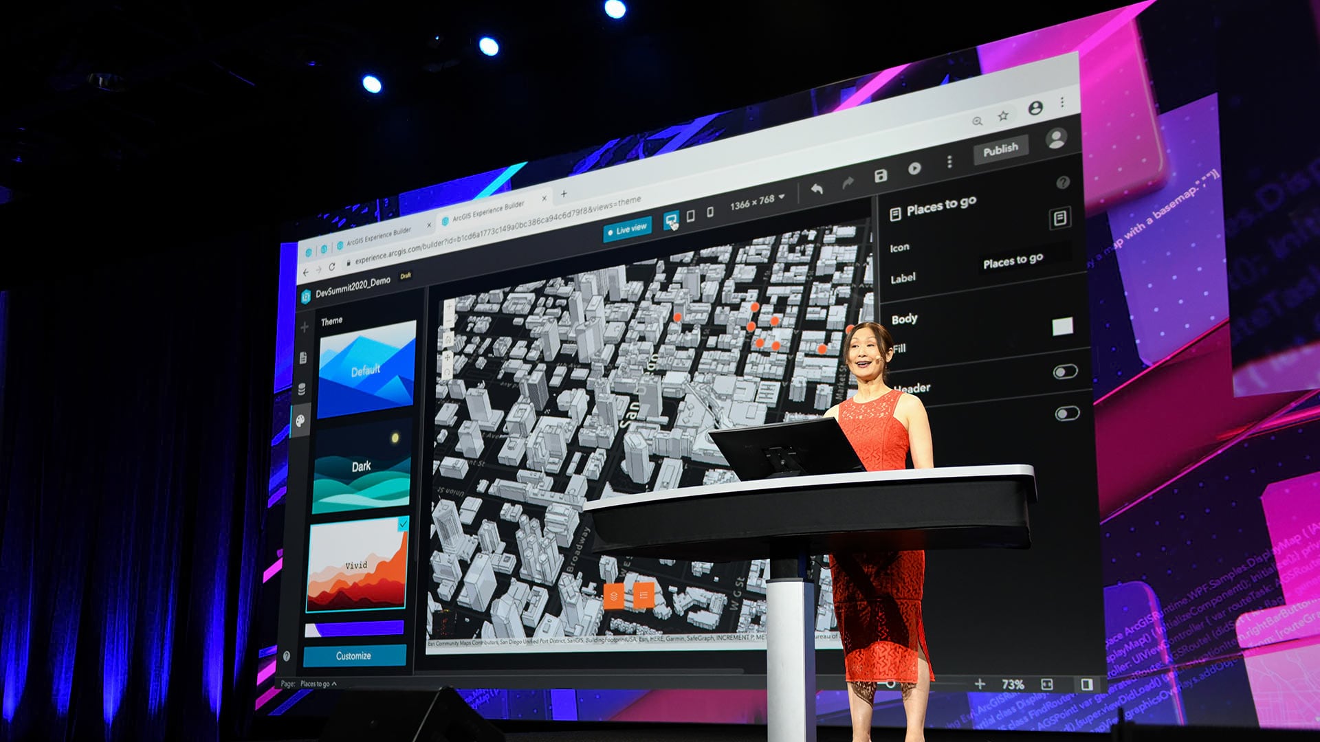
Developers who tuned into the 2020 Esri Developer Summit, held online, heard about the most up-to-date innovations in ArcGIS technology.

Numerous geodesign projects, including one to make a US Air Force base more climate resilient, were presented at the Geodesign Summit.
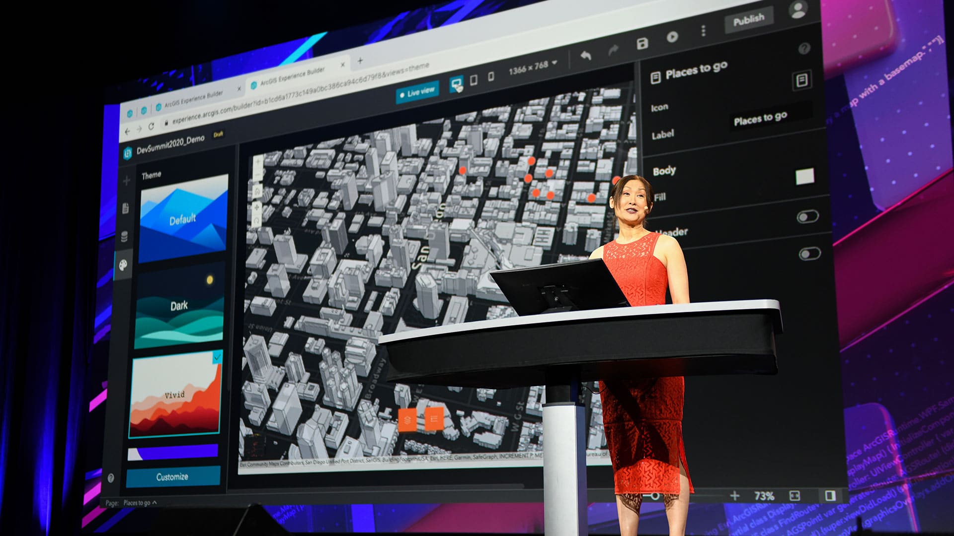
The Esri Developer Summit focused on new capabilities in ArcGIS including those in 3D mapping, natural language processing, and data science.
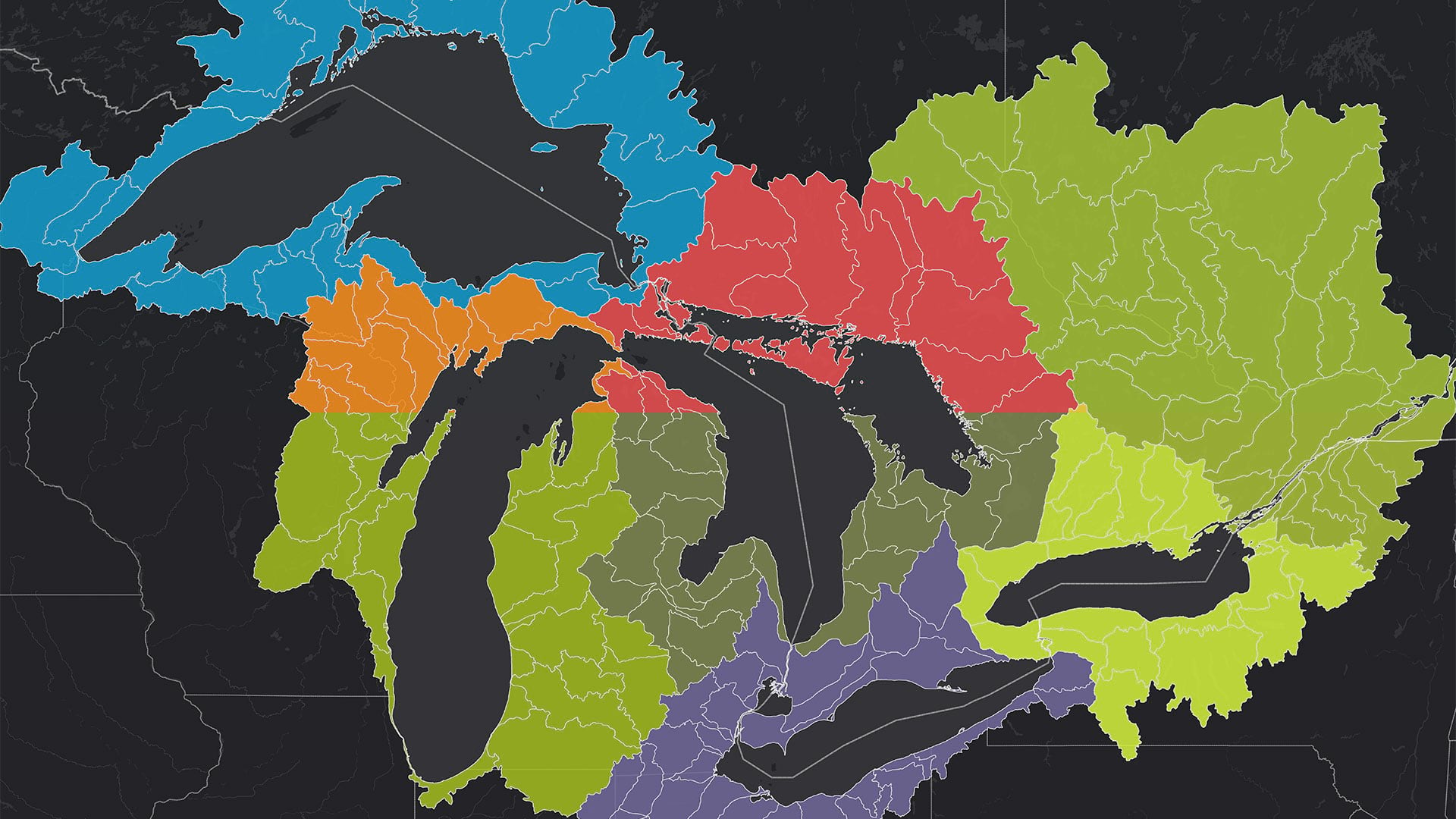
The Tipping Point Planner Program helps participants link watershed data to local decision-making processes to better plan for the future.

The Pacific Ocean Accounting Portal brings attention to this body of water in ways that decision-makers can quickly understand.
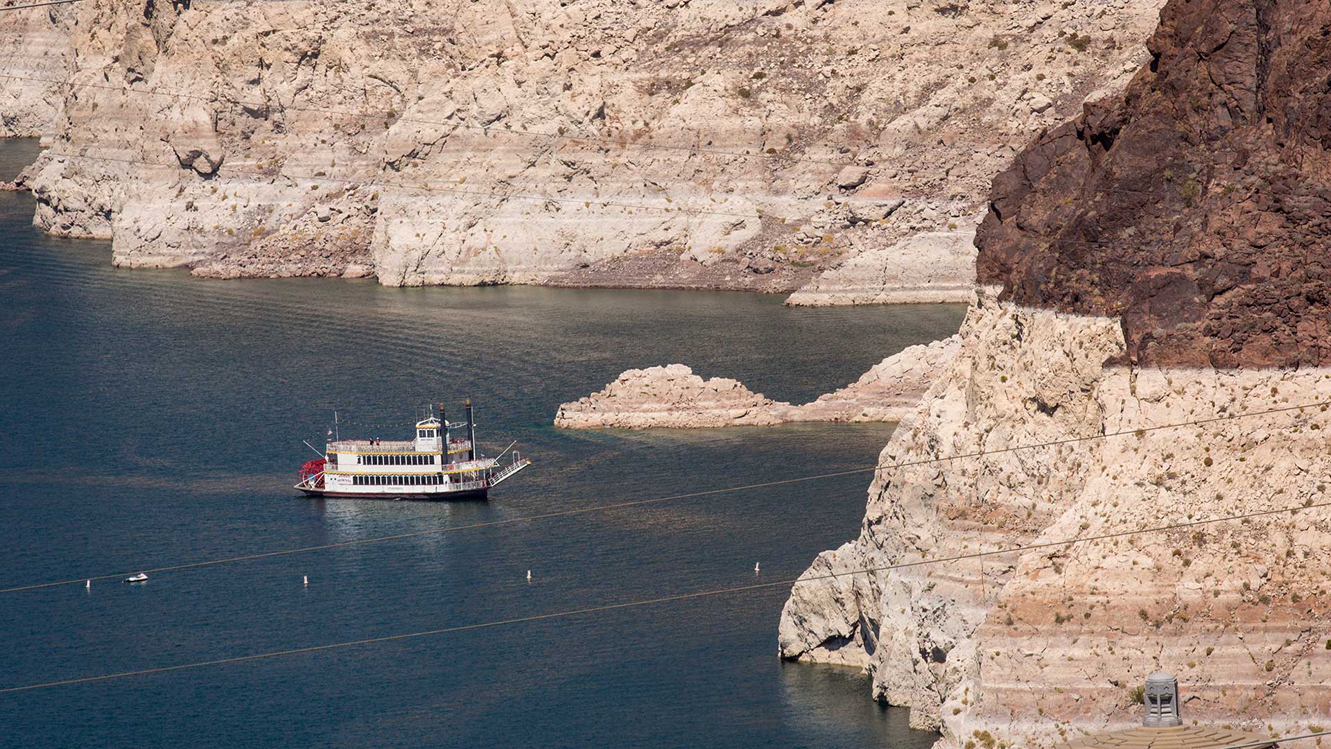
Will Arizona run out of water? The Arizona Water Blueprint, a new water mapping tool, visualizes the data and tells the story.
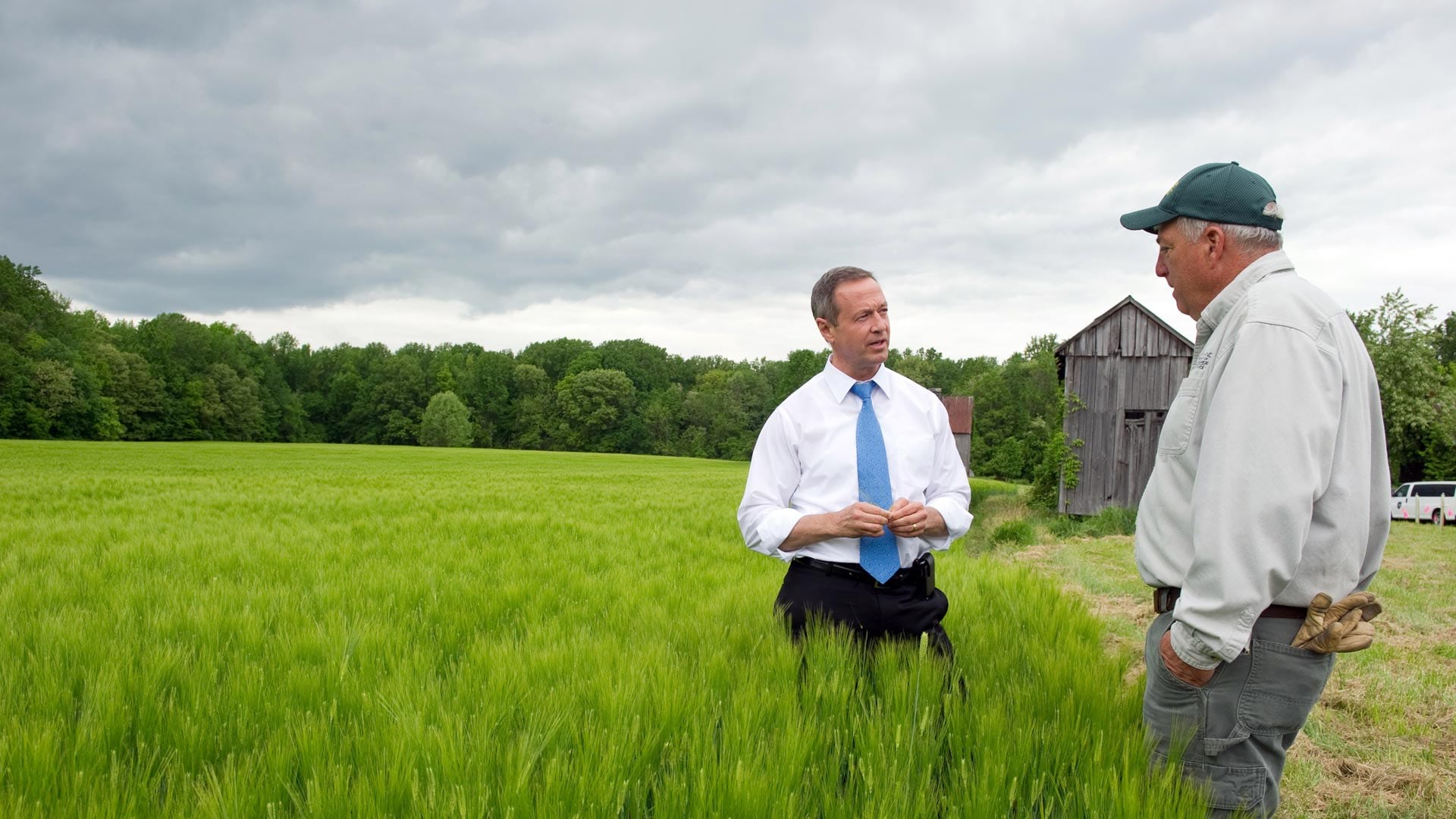
In his new book Smarter Government, former Maryland governor Martin O'Malley explains the role of GIS in good governance.