displaying 74 results

India has long been a leader in using modern spatial technologies and started its tryst with satellite images and GIS in the 1980s by having its…

Some executives in the US and abroad see new EU climate legislation (CBAM) as a sign of things to come. They’re preparing accordingly.
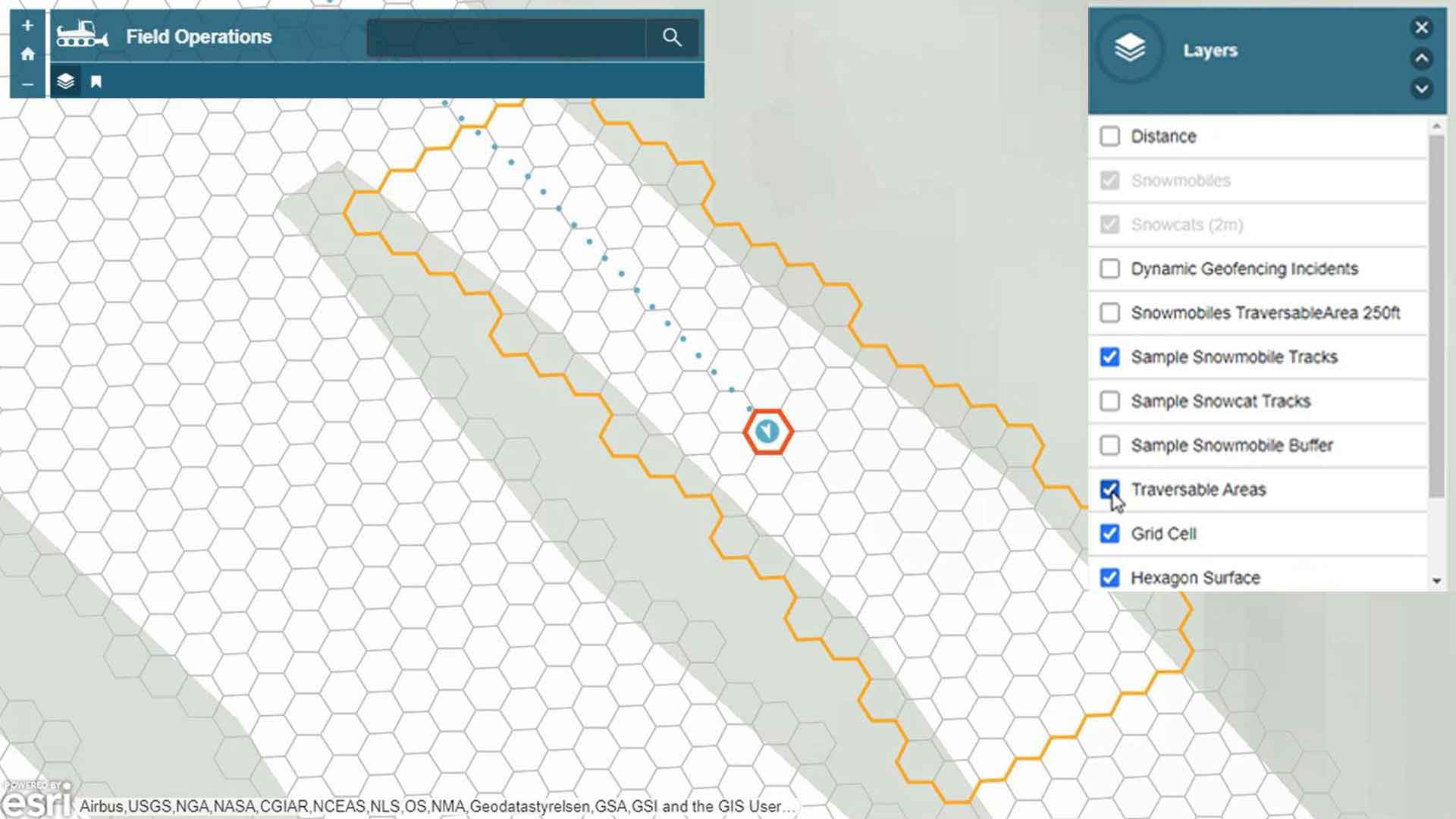
Breakthroughs in real-time mapping make it possible to track multiple moving assets and anticipate potential collisions.
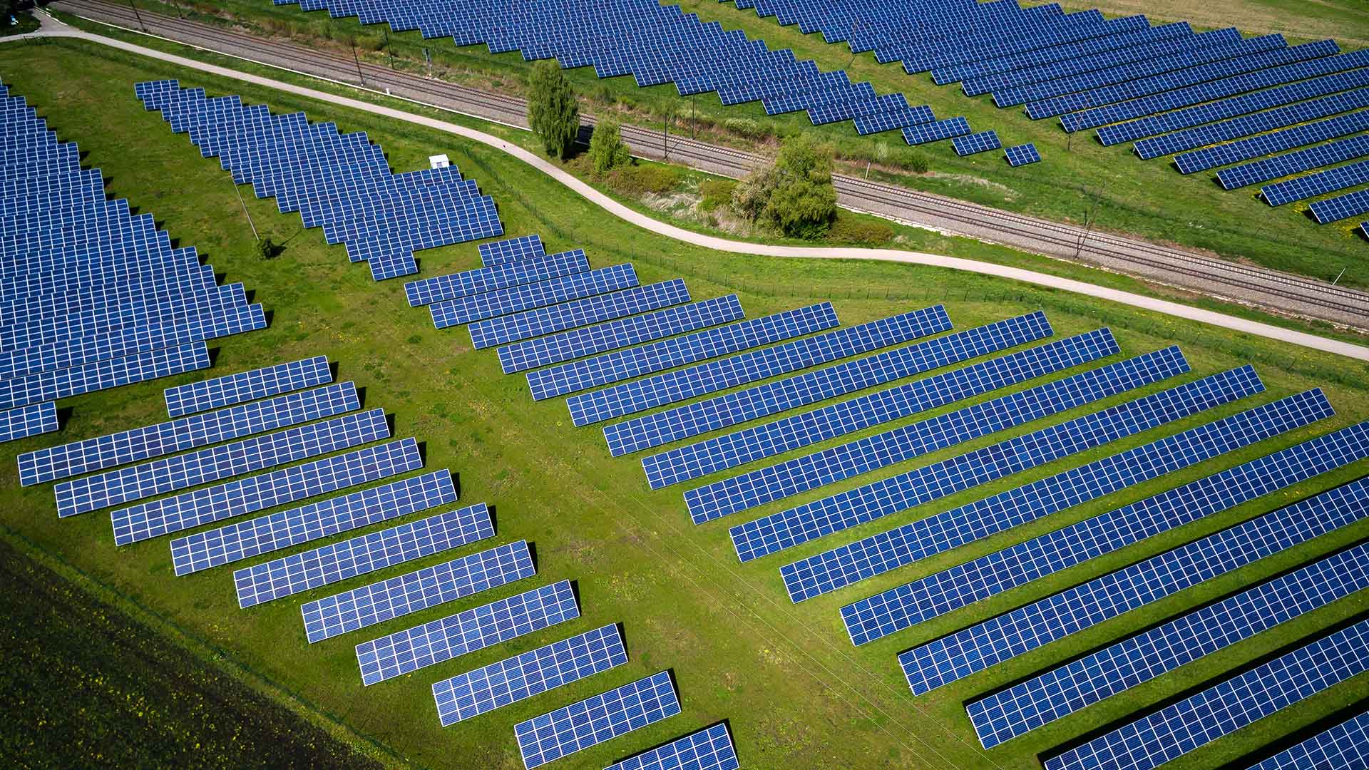
Go inside two energy companies to see what cost-benefit analysis looks like when assessing a renewables project.

With a single runway and little room to expand, Geneva Airport turns to real-time awareness to fuel growth.

Researchers at MaREI have created a freely available tool that will help harness the power of clean, renewable ocean energy.

In the United States, it is rare to take more than one year of geography. This needs to change so students learn complex ways of thinking.
A comprehensive ArcGIS Hub site aggregates data on waterways, making it accessible to the public and easier to use for collaboration.
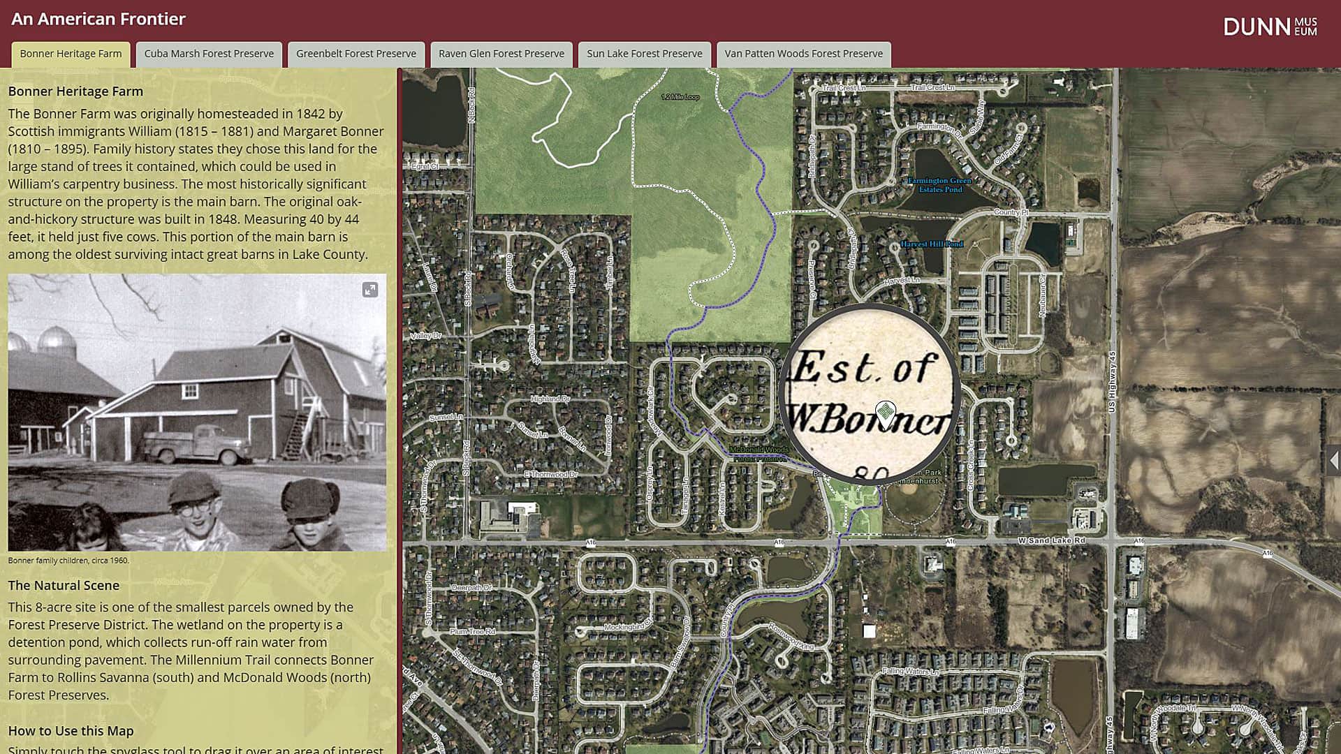
The Bess Bower Dunn Museum in Illinois uses Esri Story Maps to teach visitors about the people, events, and history that shaped Lake County.

A new study by the National Geospatial Advisory Committee (NGAC) warns that the United States’ rapidly aging infrastructure is already...
A report from the US Governmental Accountability Office confirms that a large number of K-12 students in the United States are not proficient...