An emerging form of real-time mapping is giving companies a new way to make workplaces safer and more efficient.
Powered by a geographic information system (GIS), the new capability is a sophisticated twist on a technique called geofencing. A typical geofence recognizes when a car, mobile phone, or other object moves into a digitally “fenced” area and triggers a corresponding alert or action. For instance, a home goods store could set up a geofence around the surrounding square block area. When a customer using the company’s mobile app crosses that threshold, location technology would trigger a notification about a sale or a popular item that’s back in stock.
Now, real-time mapping—showcased in the video below—enables organizations to track the proximity of multiple moving objects and issue alerts when they near one another.
In business settings where vehicle operators work in close proximity and with limited visibility—such as warehouses, solar energy installations, or airports—these automated geofencing alerts can reduce accidents and ensure smoother workflows. In addition, by analyzing the data streams of moving assets, managers gain location intelligence on the patterns that shape everyday business operations.
Real-Time Mapping in Whiteout Conditions
The video of this technology at work shows a ski area where the operator has employed dynamic geofencing to alert drivers of snowmobiles and snowplows to each other’s presence. The principles at play could just as easily apply to companies managing shipyards, rail terminals, vineyards, or rental car lots.
Inclement weather, rugged terrain, obstacles, and nighttime conditions can make it difficult for operators of vehicles and moving machinery to see each other. The ski company was facing thick precipitation and mountainous topography that created dangerous gaps in visibility for employees crisscrossing the slopes.
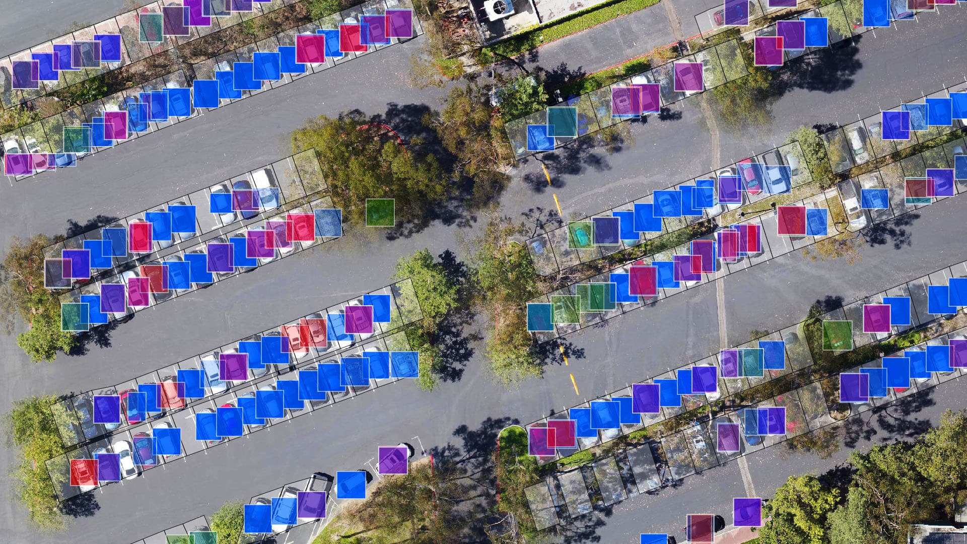
Real-time mapping enables a manager to set borders around moving assets such as trucks, construction vehicles, cranes, utility trucks, baggage buggies, even planes. If those borders come within a set distance of one another, operators automatically receive an alert to slow down and look out for another vehicle.
Using sophisticated location science, GIS avoids false alarms by accounting for places where moving objects can’t meet. For instance, if a snowmobile and snowplow pass within 250 feet of each other, yet are separated by a dense stand of trees, no alert is issued.
[To explore the technology behind real-time mapping, visit this overview.]
Taking Guesswork Out of Safer Workplaces
Real-time mapping can also apply to large areas. For instance, a logistics company could use dynamic geofencing to monitor fast-moving storms and planes, generating alerts whenever pilots approach dangerous weather patterns. Alternately, a delivery company could track the movement of trucks in relation to protests, parades, or motorcades to help drivers avoid crowded areas or traffic.
In the longer term, data analysis of spatial patterns could inform executive decisions. Historical analysis might reveal operational areas with a higher likelihood of collisions. In response, facility managers could increase safety signage or better manage traffic and vehicles in specific areas.
By incorporating the latest advances in real-time mapping, business leaders can take the guesswork out of creating safer workplaces, and give workers greater peace of mind.
The Esri Brief
Trending insights from WhereNext and other leading publicationsTrending articles

December 5, 2024 |

March 3, 2026 |

June 23, 2026 |

March 17, 2026 |

April 7, 2026 |

June 9, 2026 |