displaying 559 results

The 2023 Esri User Conference showed that GIS professionals understand the world’s interconnectedness and know how to tackle big challenges.

Presenters at the 2023 Esri User Conference inspired the Plenary audience by demonstrating how they are using GIS to create a better future.

Location-based surveys and dashboards helped citizens, local agencies, and international organizations work together.

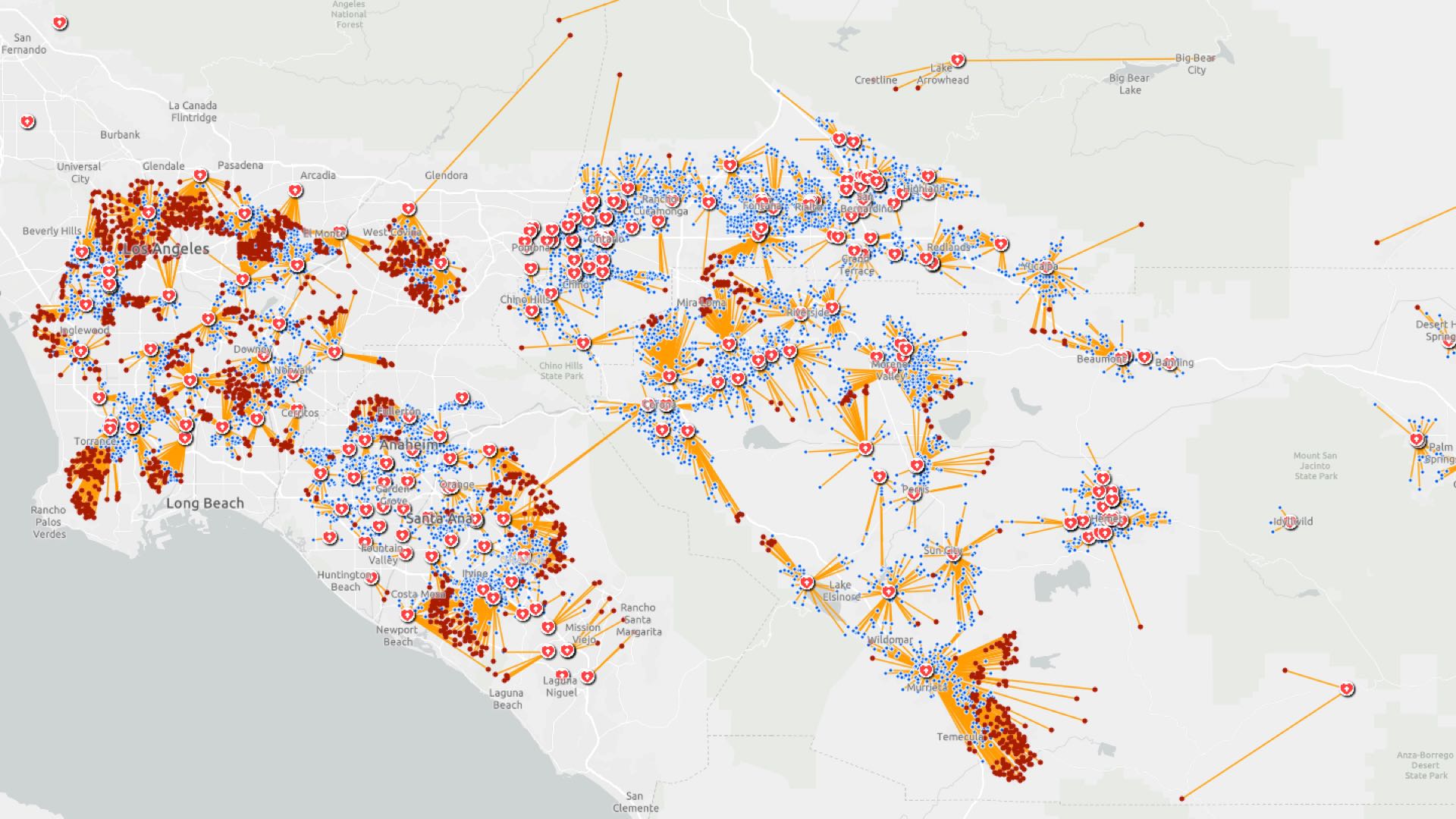
After a destructive windstorm, Avista Utilities implemented ArcGIS for damage assessments. Then the utility augmented its GIS entirely.

The North American Grid is an interconnected network that generates and distributes electricity throughout the continental United States and...
Lake County is located in the central part of the state, just northwest of Orlando. It maintains a population of approximately 295,000 people.
WISUVIE—which means take care of yourself in Kamba, one of the languages spoken in Kenya—is a CBO located in rural Kenya that works with women…

Presentations at Esri User Conference show how users are creating a better world with GIS.

HRSD rolls together GIS, BIM, and business intelligence for a contextual awareness of asset management, capital planning, and system performance.
Location intelligence helps investigators trace COVID-19 infection routes, implement control measures, and gauge their effectiveness.

It can help security guards keep facilities safe, law enforcement agents enact crime control, and park rangers ensure visitor well-being.

As workers return to the office, companies are using indoor location intelligence to optimize the postpandemic workplace.