displaying 294 results

GIS—Creating a Sustainable Future, the the 2021 Esri User Conference theme, emphasizes using GIS to balance environmental, economic, and society.

Satellite imagery firms are applying machine learning to imagery analysis to measure natural resource inventories and predict commodity trading.

See why the Swiss Federal Institute of Technology (ETH Zürich) is a leader in educating students in cartography and geoinformation.
We still can't predict the future, but GeoAI is helping companies model results and make better, more sustainable decisions.

Customers expect quick service, and leading companies are harnessing new tech and innovative techniques to deliver it at the moment of demand.

As wireless providers plan 5G wireless networks, AI and big data tools promise support for connection quality and business development.

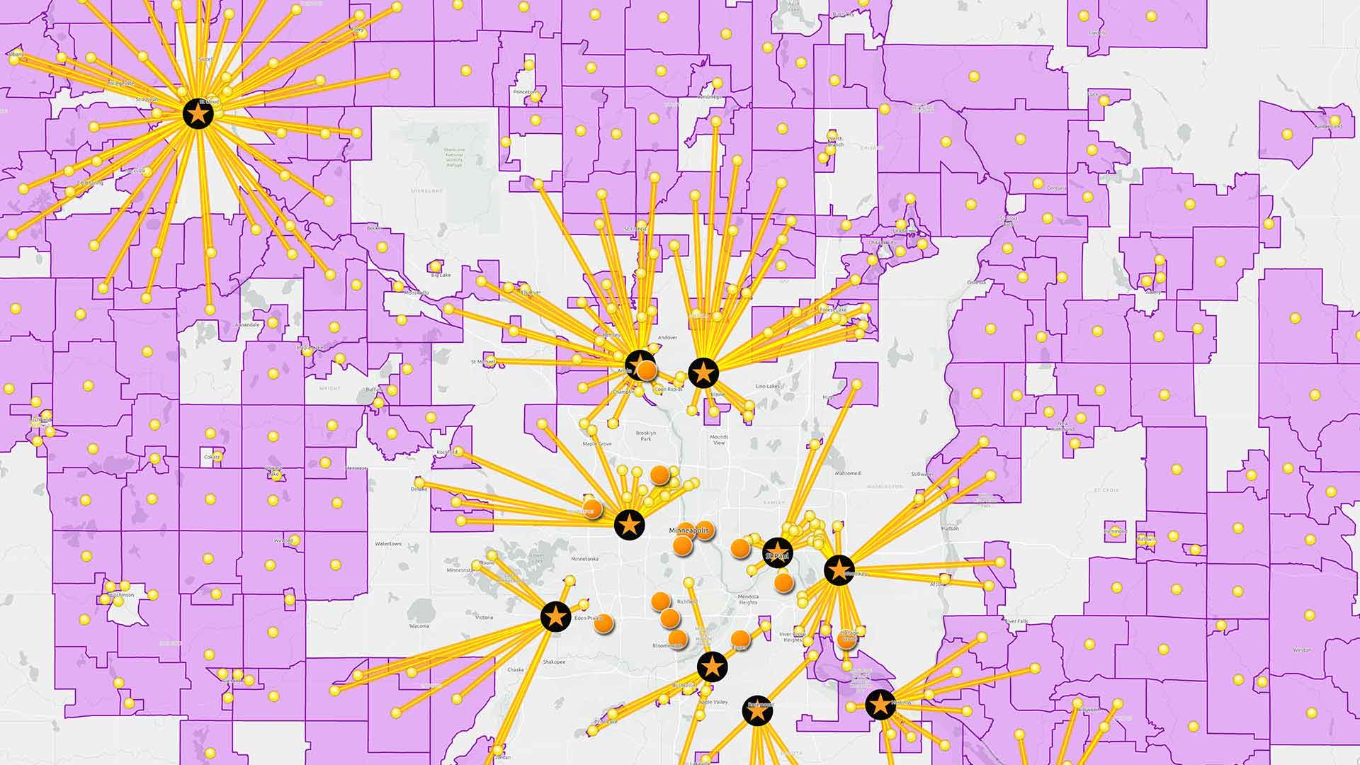
Business decision-makers are using data to make strategic choices for their companies. What if they’re misinformed?

A professor transformed a course from traditional classroom to remote interactive experience with the help of ArcGIS Notebooks.

Esri’s Developer Summit, held March 5–9, 2018 showcased the latest innovation in mapping and GIS for software developers.

Esri Training offers new instructor-led courses that cover dashboards and data, MOOCs on spatial data science and apps, and more.
Lauren Bennett, from Esri, delves into the topic of machine learning techniques in ArcGIS. Examples include prediction, classification, and...
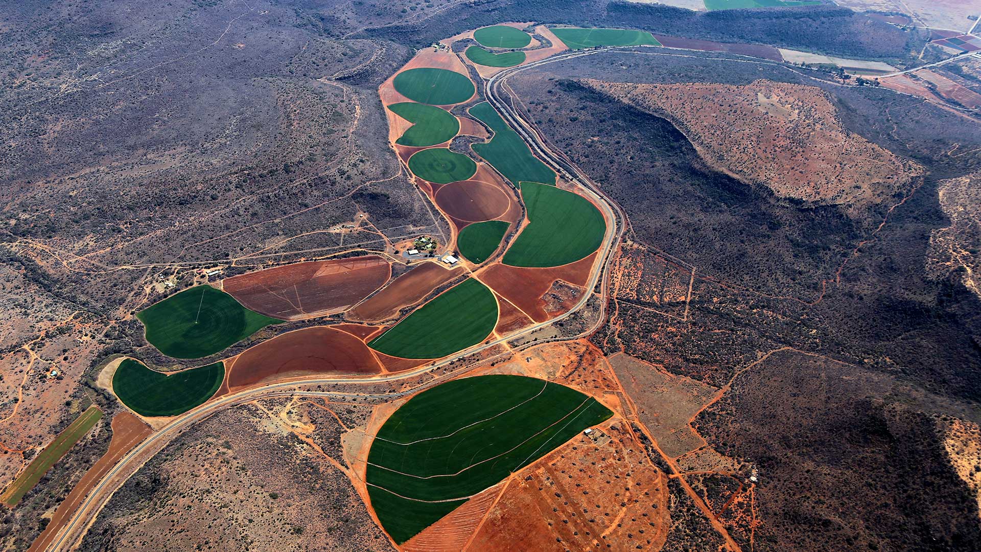
A well-funded innovator in agtech, Indigo Ag is using location intelligence to promote a more efficient, climate-friendly way to farm.