displaying 1363 results
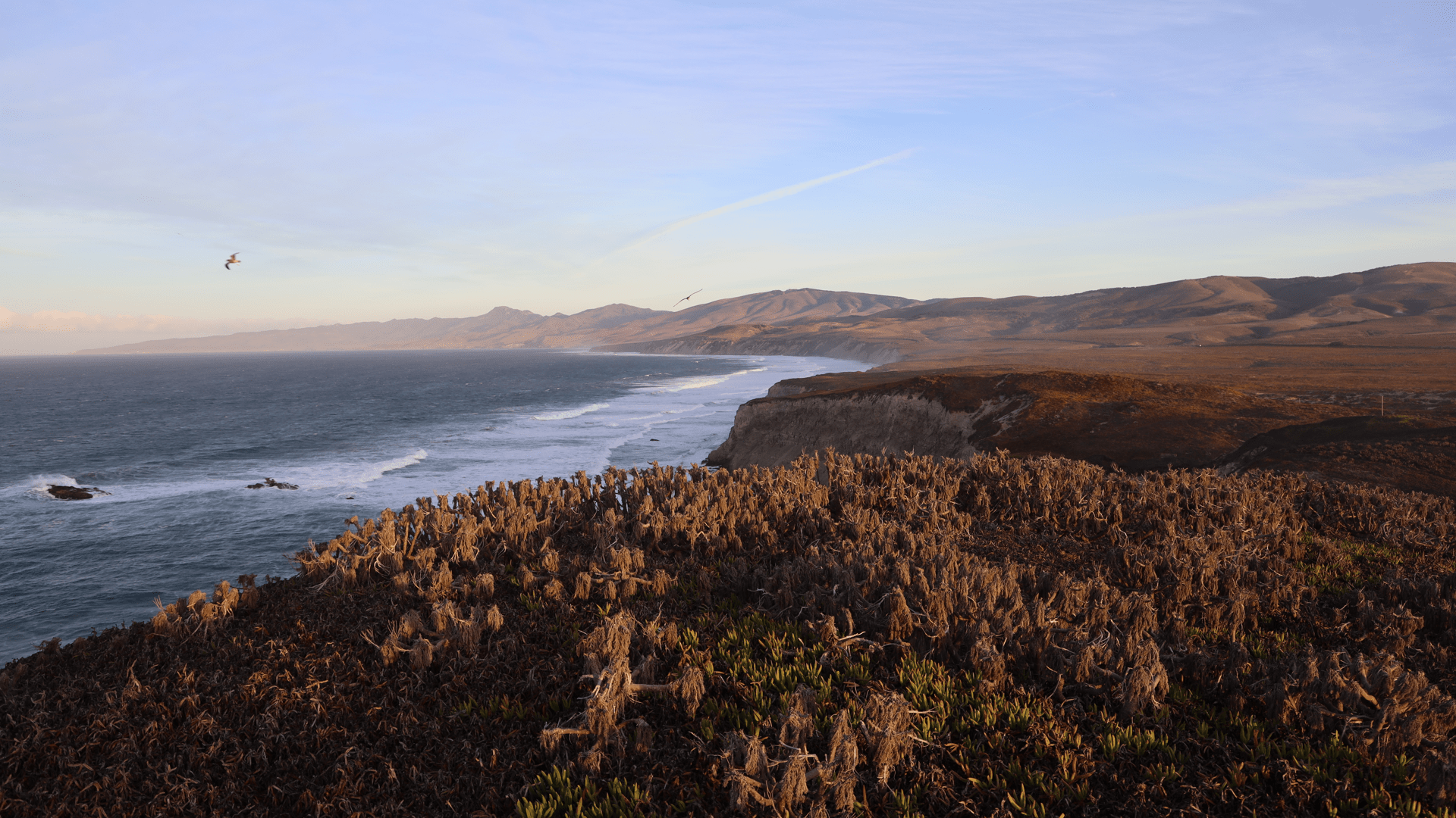
With an environmental digital twin, land managers and scientists can understand the landscape.

2892 Miles to Go, a social justice geoinquiry program, uses maps to amplify community narratives about justice, race, and equity.
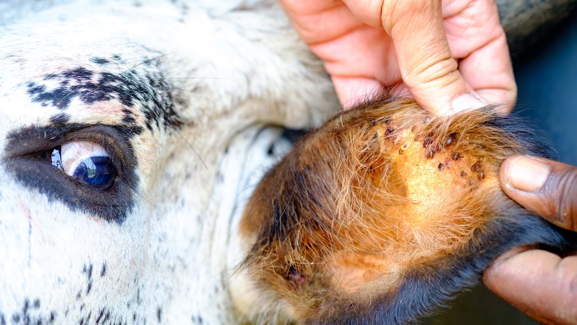
The USDA’s Agricultural Research Service uses maps, apps, and dashboards to administer the agency’s cattle tick eradication program.
At the Esri climate action event, leaders detail work already being done to counter climate change.

A map of bird migration patterns prompts conservationists to make data-driven decisions.

How Tacare, a Jane Goodall Institute program, is helping regenerate the fraught relationship between wildlife and humans.
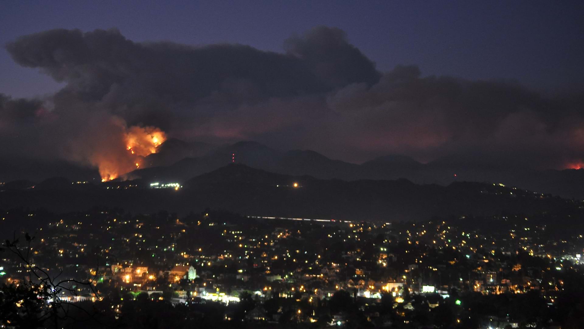
Students create web maps of homeless populations in high-risk fire areas, providing first responders with location intelligence.
GIS and facility mapping provide powerful insights into how we use, manage, and design our built environment.
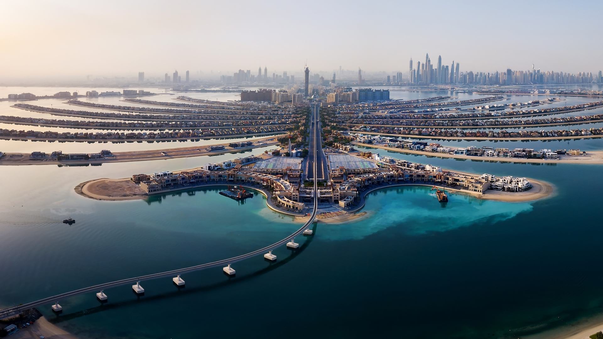
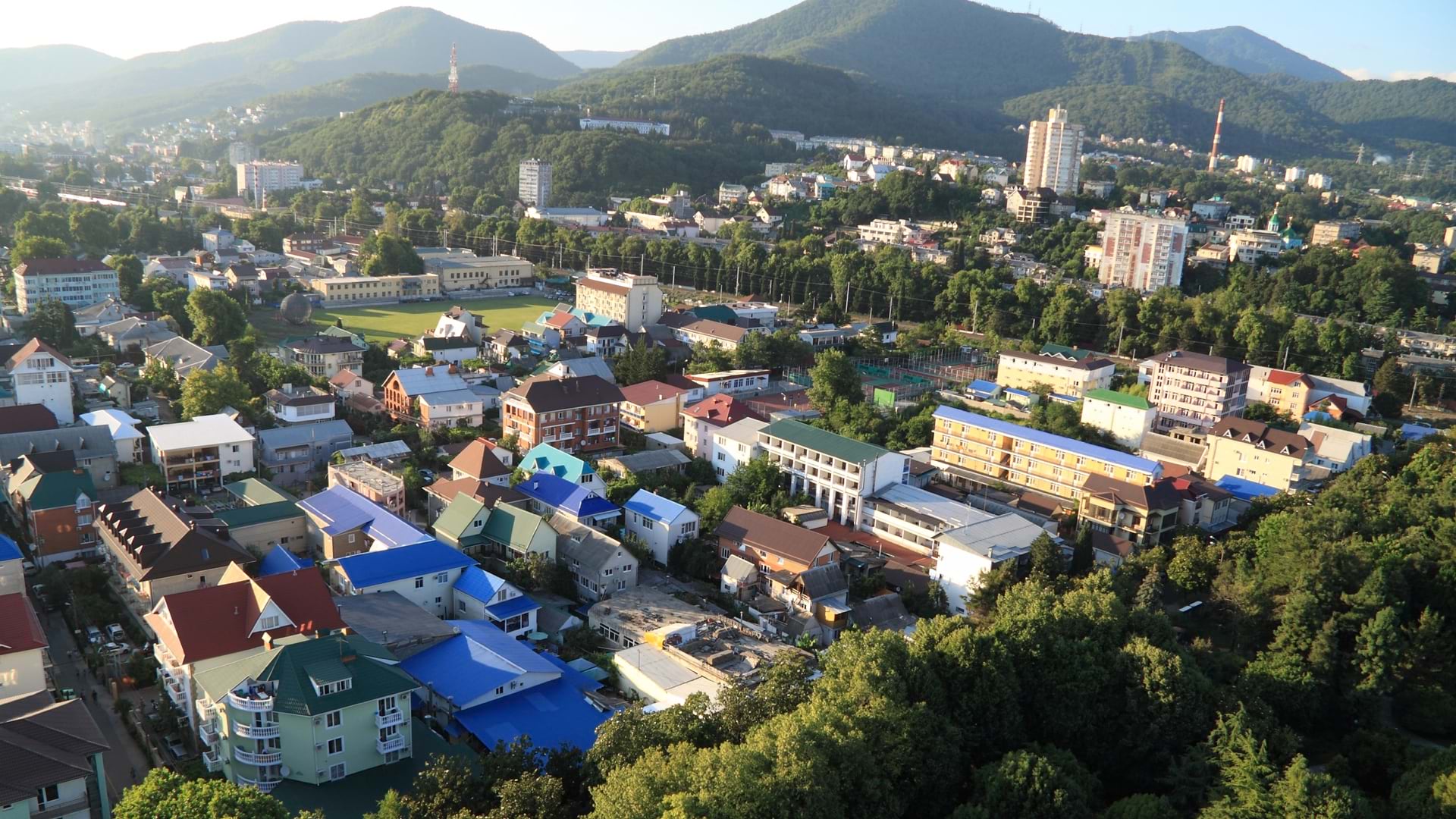
UAE mapped its growth over 50 years and gained an authoritative map to monitor objectives and initiatives for its next 50 years.
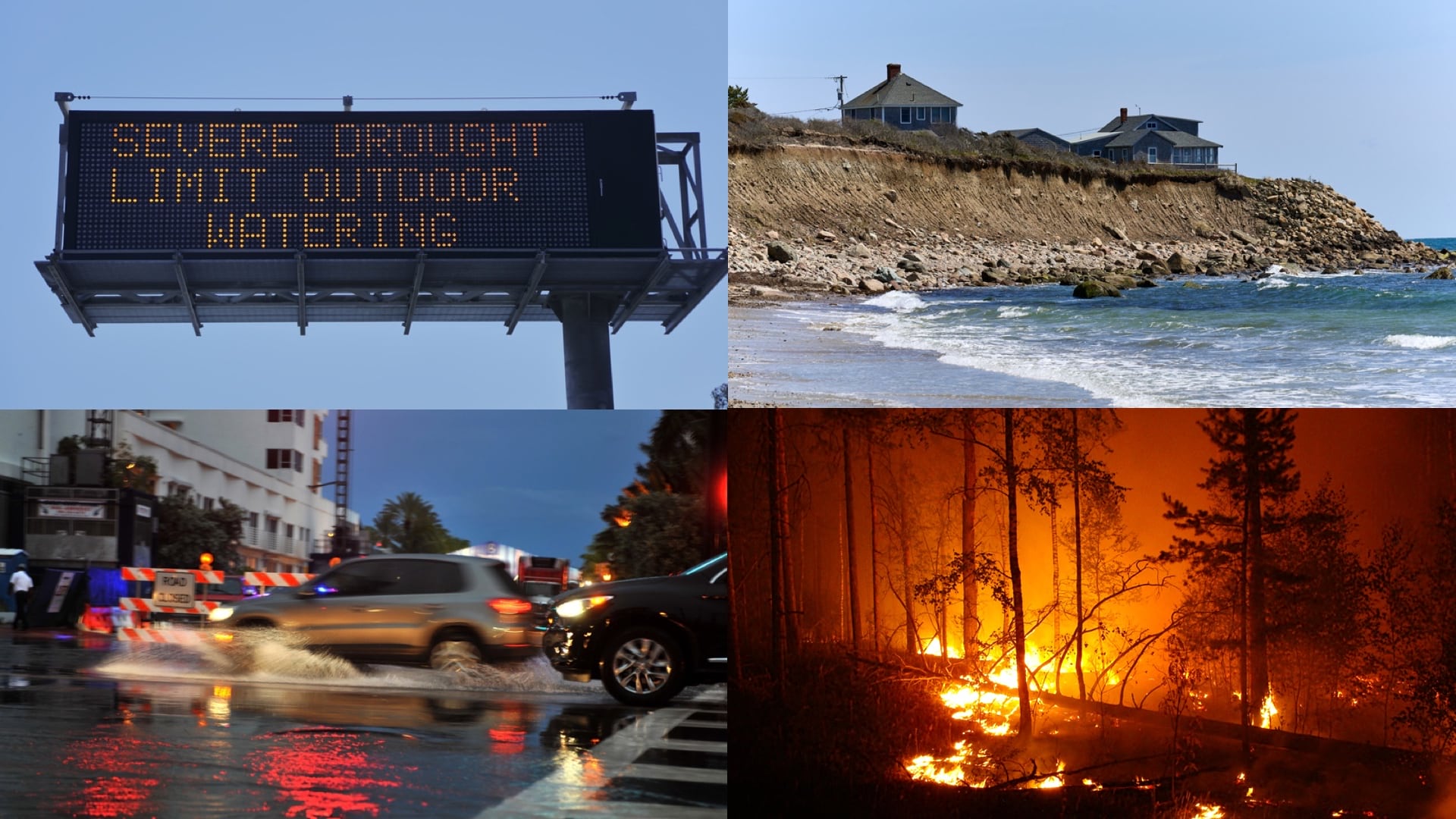
The White House’s Climate Mapping for Resilience and Adaptation Portal integrates information for building climate resilient communities.
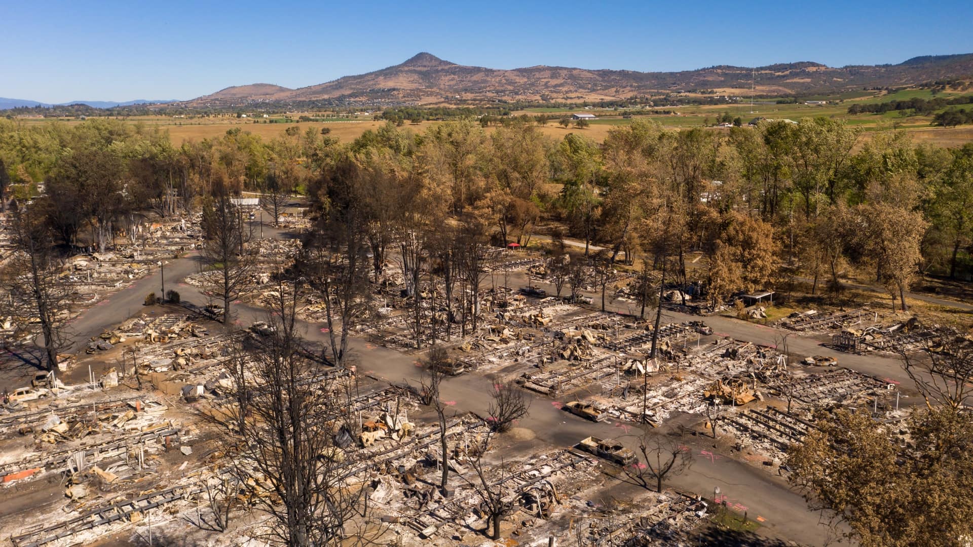
Planners in Talent, Oregon, used 3D visualization tools to build transitional housing for families left homeless by the Almeda Fire.
Volunteers with aptly named MapAction use maps and visualizations to guide relief organization’s response to disasters and conflict.