
March 4, 2021 |
Charlie Fitzpatrick | GIS for Good
March 14, 2023
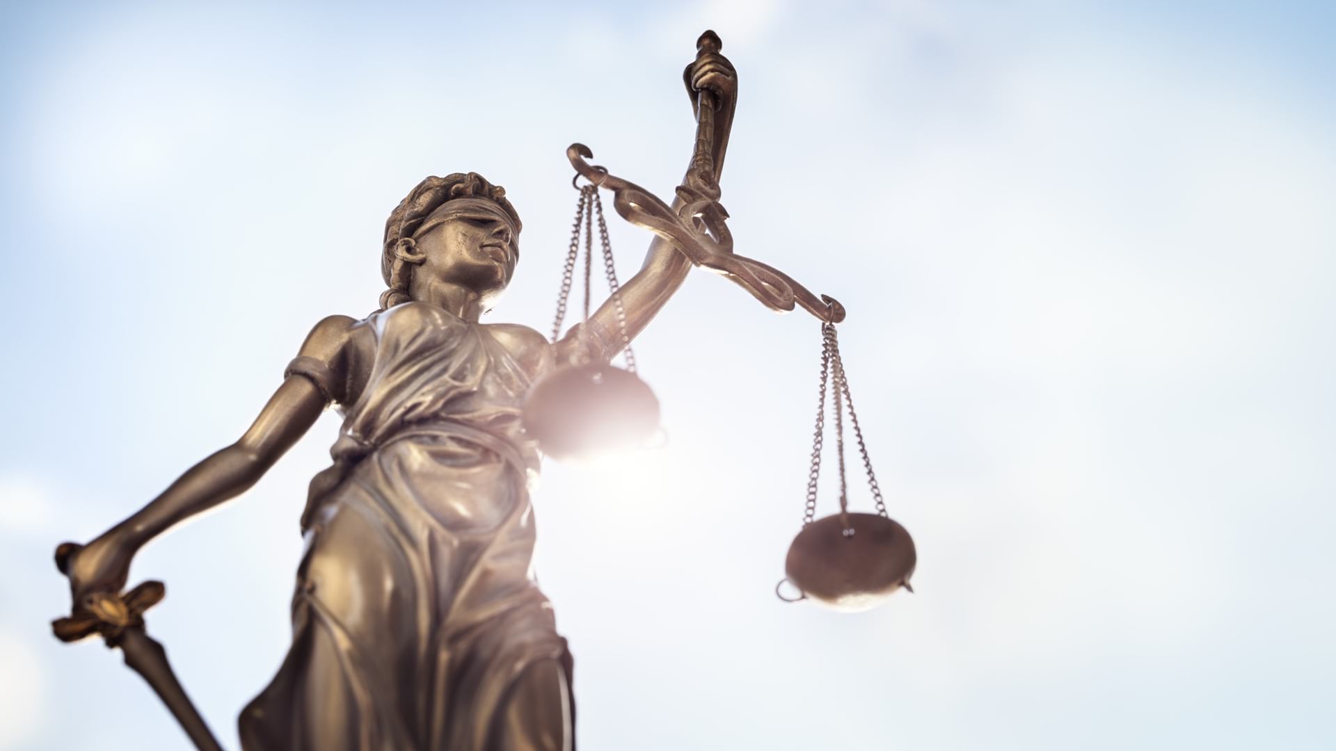
There are 2,892 miles separating the two furthest points in the continental United States, and exploring each of those miles presents an opportunity to reexamine history and issues concerning justice, race, and equity. That’s according to a new educational endeavor supported by the National Geographic Society—2892 Miles to Go: Geographic Walk for Justice. As the creators of the project’s storytelling platform assert, “It is long past time to walk these miles together.”
A social justice collaboration among educators, change makers, and leaders, 2892 Miles to Go focuses on place-based storytelling and maps that bring to light, in the words of the project’s founding partner Ashley Lamb-Sinclair, “layers of injustice” and the “humanity of the people who walked before us.”
Lamb-Sinclair, a National Geographic Explorer, said she was inspired to start 2892 after attending a healing ceremony hosted by Black Lives Matter Louisville in 2020. It was there she first learned about historical events, injustices, and activists within her community.
The project uses ArcGIS StoryMaps to blend custom web maps with digital media to create an online collection of resources.
Project participants first select a route in their community. Then they walk it to collect experiences, photos, videos, and conversations. Using geographic information system (GIS) technology, they connect stories to locations on a map.
So far, storytellers have published five collections that highlight Louisville, Kentucky; Saint Paul, Minnesota; Route 66; Tulsa, Oklahoma; and Hawaii. Each collection contains interactive stories with videos, artwork, podcasts, and interviews. The collections also include guided assignments called 2892 Living Textbooks that give students an exercise to learn from and contemplate their own lived experiences.
The 2892 Louisville collection of stories offers narratives about the city’s past and present. The stories relate the perspectives of people of color to give everyone an understanding of the status quo and the chance to acknowledge the past and heal, and they provide opportunity for community members to move forward with empathy.
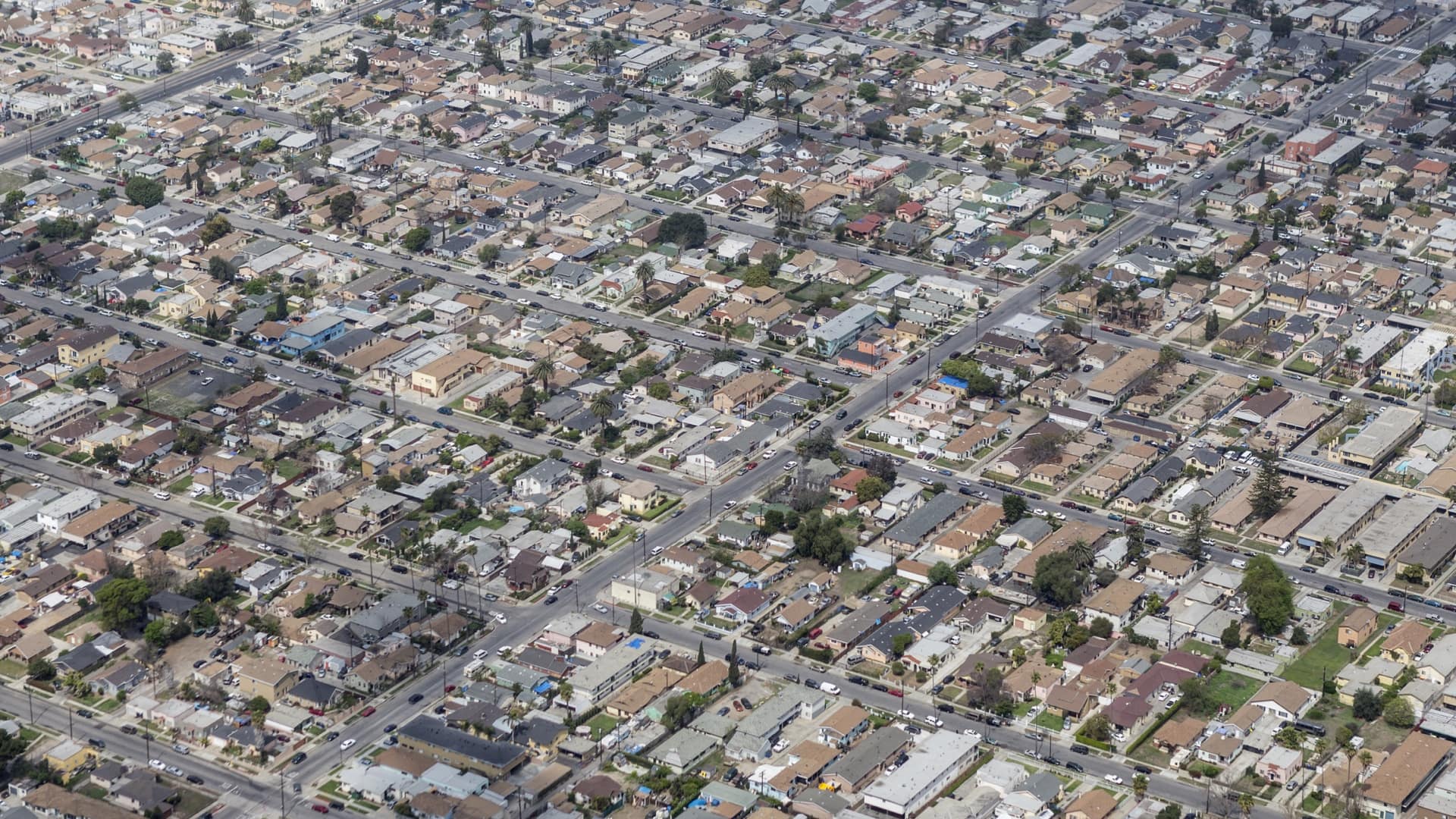
Lance G. Newman II narrates a video tour that relates how a housing project in Louisville’s West End has been replaced with condos, displacing residents experiencing poverty.
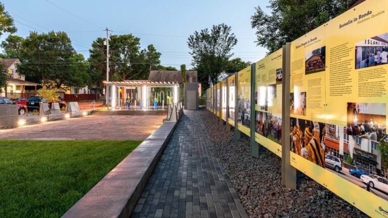
In Saint Paul, Minnesota, six storytellers engage residents by uncovering the Rondo community’s rich history of Black excellence. The community was destroyed in the mid-1960s when I-94 was built, displacing thousands of African Americans.
Storyteller Kasim Abdur Razzaq explores how Rondo was a thriving hub for Black-owned businesses, churches, and homes in his grandparents’ generation—a stark contrast to what it was during his childhood in the 1990s.
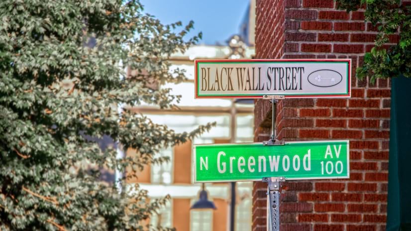
Tulsa, Oklahoma storytellers share a part of the city’s history that’s often unacknowledged: the Historic Greenwood District, a prosperous Black neighborhood destroyed during the 1921 Tulsa Race Massacre. Hundreds of Black people were killed and years of Black success erased. In the following decades, cover-ups and government actions like the federal highway program, urban renewal projects, and the assertion of emiinent domain spurred generational wealth loss and ongoing trauma for descendants.
National Geographic compiled a clip of home movies captured by the Reverend S. S. Jones that relate the everyday lives of the large and prosperous Black community in Tulsa in the early 20th century.
Along Route 66, storytellers examined the iconic route’s impact on residents in Amarillo, Texas, and Albuquerque, New Mexico. “I thought I knew most of what there was to know about this landscape,” wrote Dr. Shanna Peeples in her blog post. “But what would happen if I slowed down and began to try to develop new eyes for this old road?” The Route 66 storytellers sought to explore the intersection of race, culture, mobility, and oil and gas development from the perspectives of the Indigenous, Black, and Hispanic communities impacted by Route 66.
The 2892 Miles to Go project has expanded to be inclusive of the contingent United States. Hawaiian storytellers have joined with an ongoing project that explores learning through the lens of āina, referring to land and earth and all that thrive there (humans, animals, plants, fungi).
Each interactive 2892 story collection asks learners to consider hard questions, seek out hidden histories, and retell previously misleading or long ignored stories in their own communities.
For 2892 storytellers, exploring communities has paved the way to celebrate cultures and reclaim their spaces.
The 2892 Miles to Go: Geographic Walk for Justice project continues, with more communities using StoryMaps to compile resources and create community collaborations. There is an open call for participation for anyone interested in tell their community’s stories.
Learn more about how GIS helps advance racial equity and social justice to create more inclusive communities.