displaying 1006 results

2022 marked the return of an in-person Esri User Conference, and presenters made a big comeback by demonstrating powerful uses of GIS.

By embracing the use of GIS, UCSB staff have created a campus-wide atlas to manage and update the university’s utility lines.
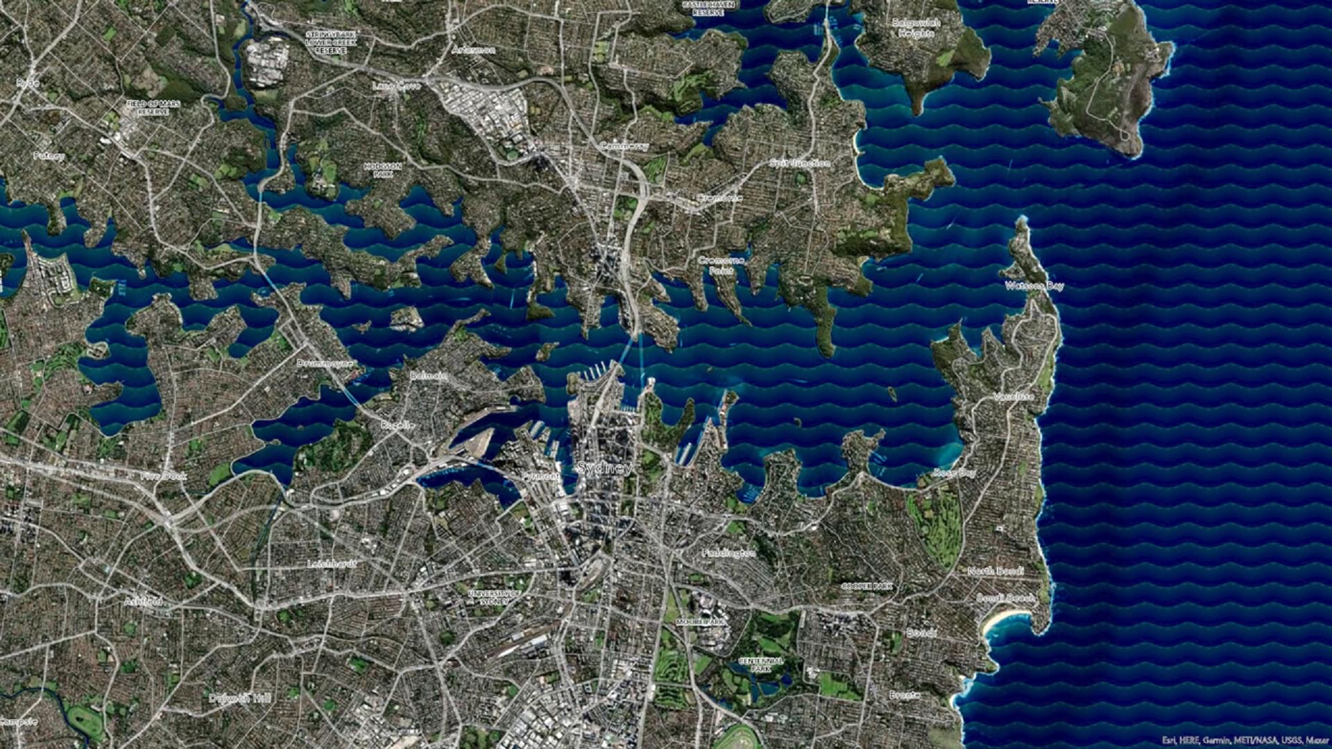
Learn how to make a wave effect in ArcGIS Pro that will set your map apart from the rest.

A recent ICA conference on atlases, toponymy, and map design energized attendees, and several other events this year aim to do the same.

Learn how to be an effective leader in GIS or brush up on your spatial data science skills with the latest courses from Esri.

After inventorying its roads, the city built a network schema to show where pavement needed to be replaced and how much it would cost.

Leaders have instituted a geographic approach to implementing, monitoring, and analyzing USAID activities throughout the country.
Learn the ArcGIS capabilities and workflows that give you the ability to visualize wind and ocean current data.

Find out about a new way to analyze social equity initiatives, plus nuanced population change data is now available in ArcGIS.

An emergency search and rescue team in Lee County, Alabama used ArcGIS location sharing software to locate a missing girl unharmed.

To locate potential bat habitats in abandoned mines, Bat Conservation International employed a new high-accuracy GIS-based workflow.

The 2021 Esri UC highlighted how the GIS community is confronting the world’s challenges and—critically—what more needs to be done.