displaying 262 results
Jamal Watkins from the NAACP discusses the role of mapping technology in ending policies that create racial inequity.
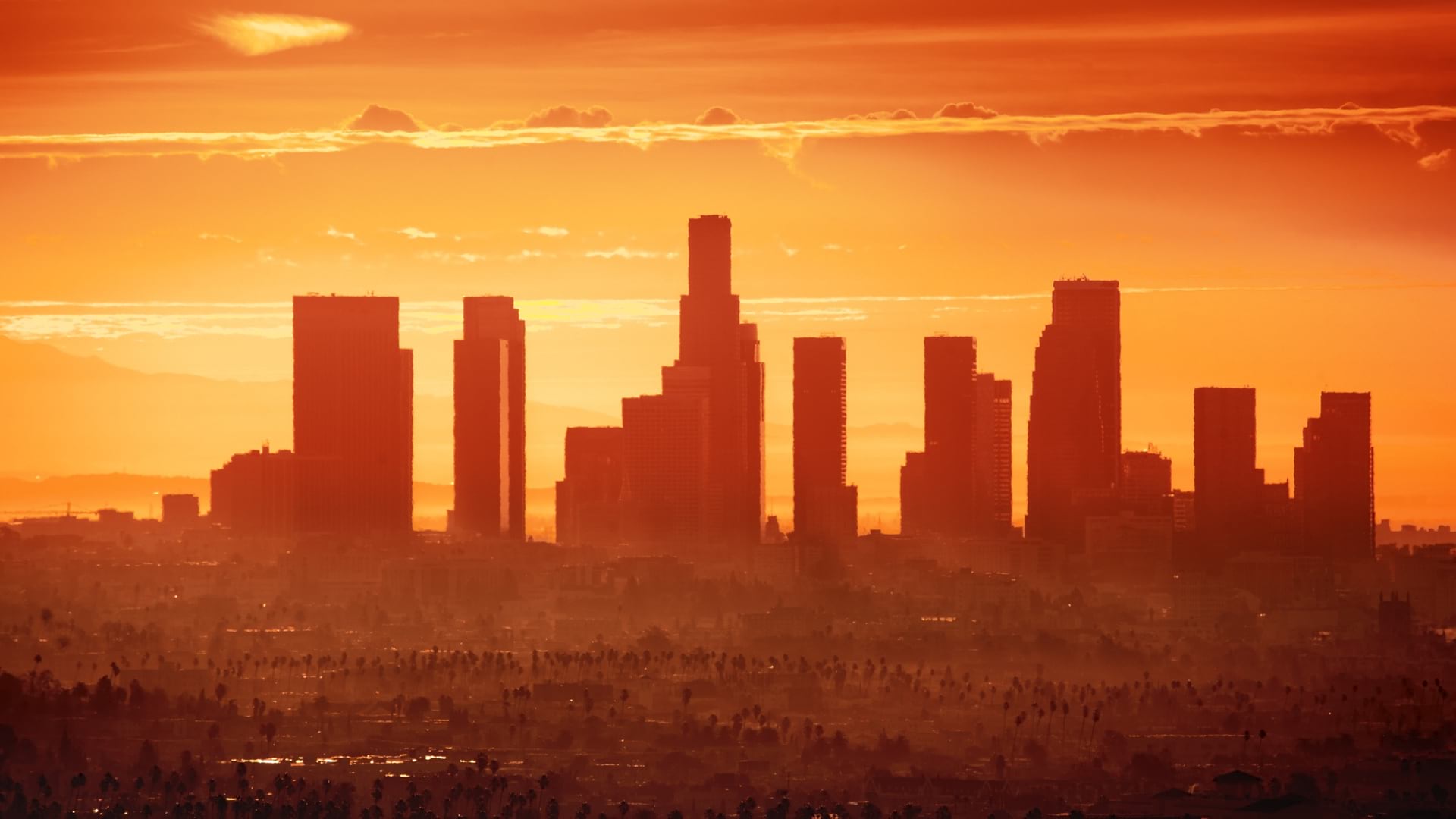
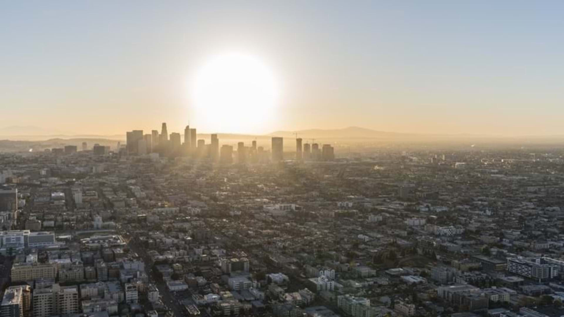
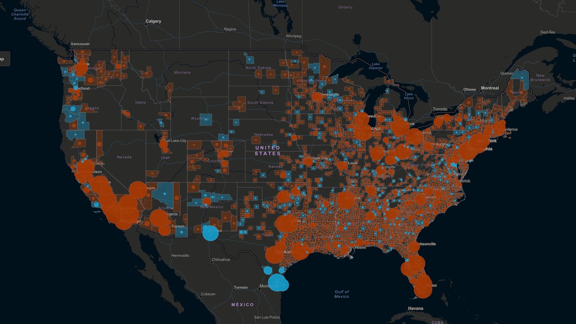
Los Angeles takes a data-driven approach to extreme heat by mapping communities that require cooling centers.
D’Artagnan Scorza from LA County explains how location technology is being used to address social injustice in urban LA.
Paulette Brown-Hinds from Black Voice News explains how mapping technology brings focus to social justice issues.

Managing operations during COVID-19 has required location intelligence. So, too, will hiring a more inclusive workforce.

The effects of unequal access to broadband internet have been exacerbated by effects of the COVID-19 pandemic on some populations.
Maps have evolved dramatically beyond the trusty TripTiks of our youth. Now they're showing business executives the right path.

Esri’s new Social Science Collaborative aims to help social scientists use GIS more regularly, especially for qualitative analysis.

Publisher of Black Voice News finds ways to use GIS mapping to advocate for the voiceless while promoting corporate social responsibility.

Tulare County, California, used GIS to understand who lives without drinkable water, addressing infrastructure inequities.

The City of Philadelphia has created a map that is highly accessible, informs city spending, and empowers people with disabilities.
Geospatial data, harnessed through GIS technology underpins informed health-care planning.