displaying 778 results
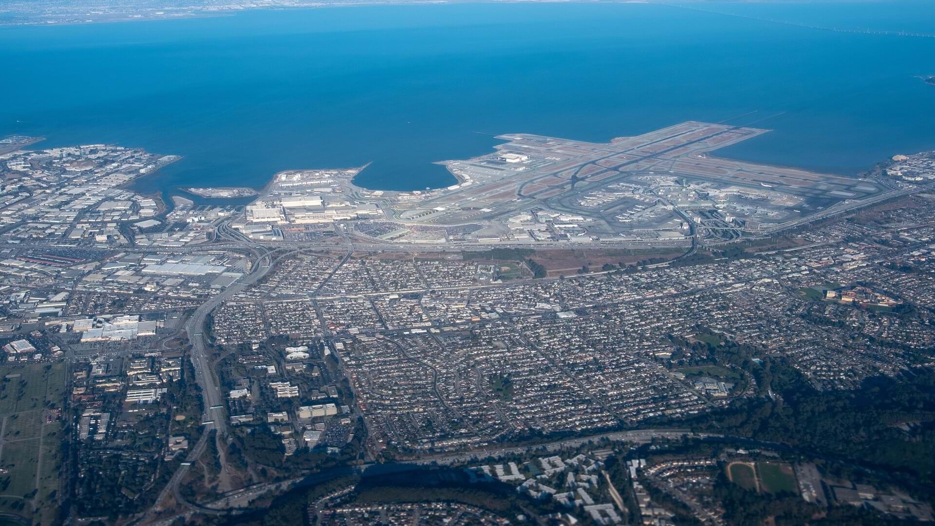
Josephine Young from the San Francisco International Airport details the world-class travel hub's multi-billion dollar technology revamp.

A new survey of manufacturing executives highlights the geographic dynamics that complicate global trends on sustainability and data analysis.

See how four Esri partners helped several organizations improve operations, update planning procedures, and streamline data management.
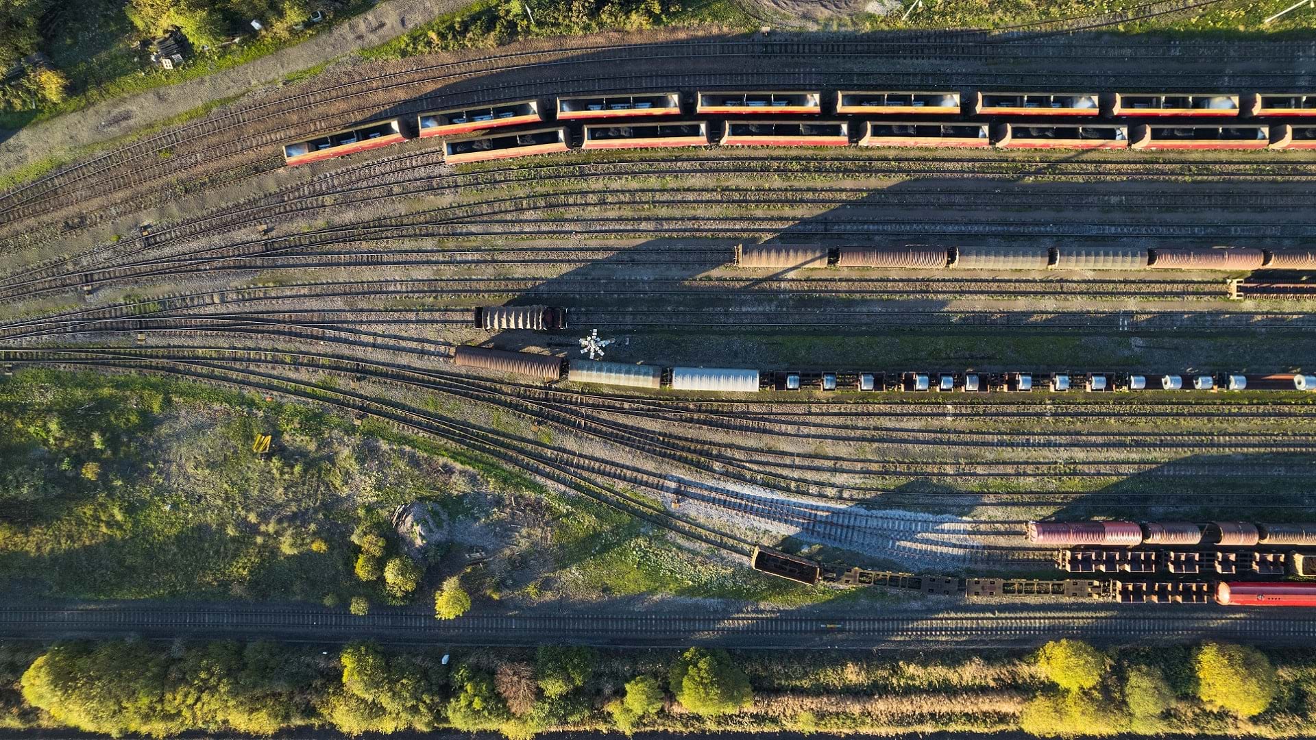
Short-line rail company OmniTRAX is employing GIS tools like ArcGIS Enterprise to streamline its operations and improve customer service.
Your city can use GIS to analyze its public transit service, including finding out where the people underserved by the system live.
Esri cartographer Andrew Skinner uses 3D maps to trace the routes of the first aviators who dared to fly across the Atlantic Ocean.

Linear referencing now in ArcGIS Field Maps for inspecting roads, pipelines and railways.

Amsterdam Airport Schiphol built a digital asset twin of the airport to run simulations and save time and money.