The Esri Brief
Get location tech news in your inbox
Trending articles


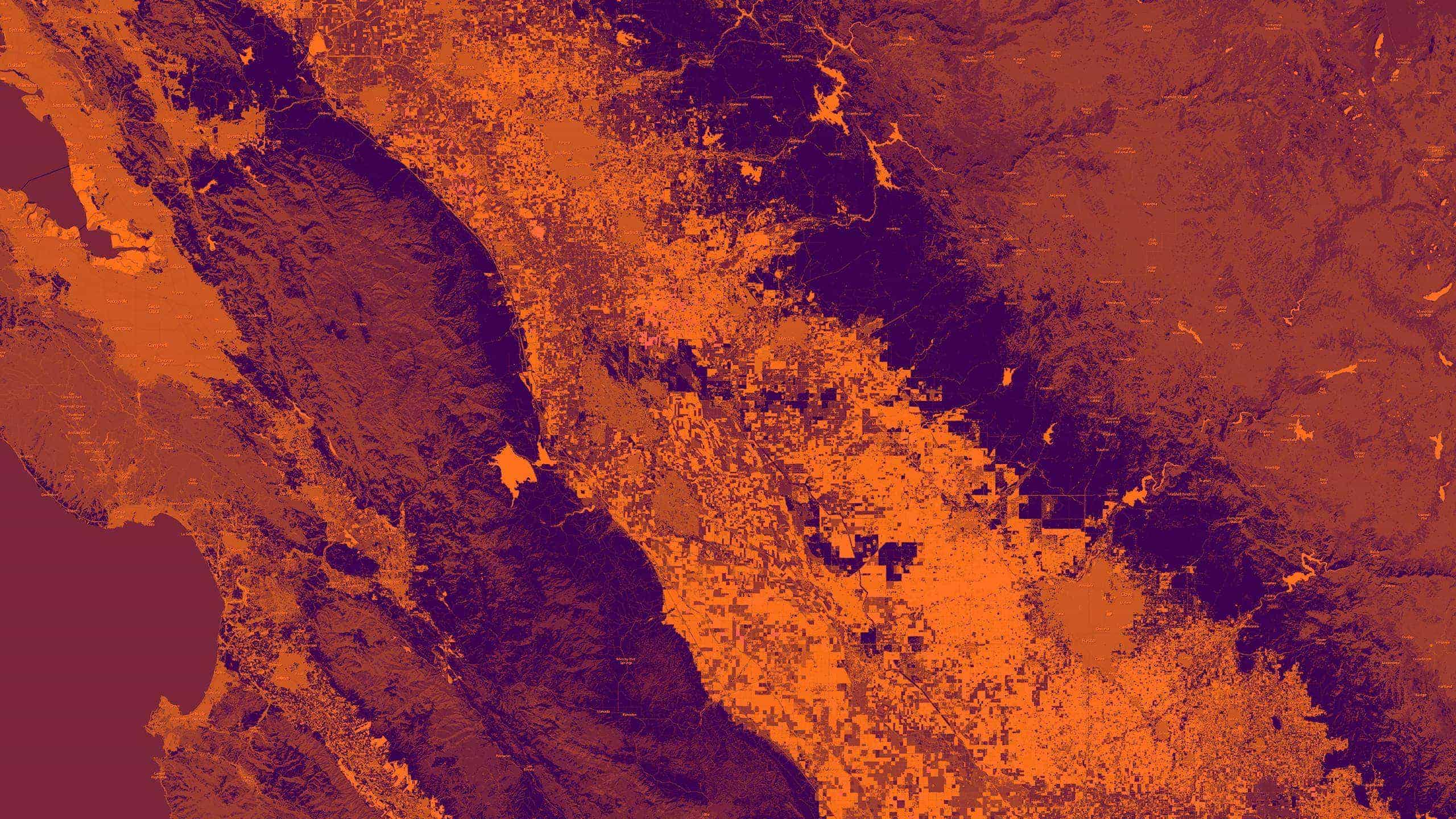
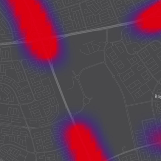
In a country smaller than the state of New Jersey, where sand reigns and water hides, an inconvenience of modern life intrudes. Traffic is a growing problem in Kuwait. With a high ratio of vehicles to residents and a low ratio of roads to vehicles, traffic in the capital Kuwait City is worse than that of Atlanta, Boston, and Madrid.
Congestion is unwelcome in any city looking to boost the productivity of its workforce, ensure the smooth functioning of commerce, and improve quality of life. In Kuwait, officials work tirelessly to ensure quality of life. As part of that effort, the country’s Public Authority for Civil Information (PACI) released a hyper-local search engine called Kuwait Finder, which connects citizens to the local goods and services they need. The application also provides turn-by-turn voice navigation to any business, with traffic information included.
However, in the absence of reliable traffic sensors in the roads, understanding traffic conditions was a challenge. PACI asked a small team of Esri engineers to create a solution that would predict traffic conditions when no data existed, and deliver reliable traffic information to Kuwaiti citizens. Little did we know that the traditional techniques would fall short.
Our first challenge was to establish what traffic looks like to a Kuwaiti driver. To get that info, we enlisted an application that let drivers tap on their phone to describe the conditions around them: no traffic, moderate traffic, or heavy traffic. We collected this information for more than a month.
Based on those findings, we began programming the application to fill in traffic information gaps. At first, we used the traditional approach—defining rules about traffic. This was easy until exceptions emerged—like the surge of drivers on the first day of school or the unique traffic patterns during the month of Ramadan. We adjusted the algorithm to account for each exception, but it took hours of coding work. Then another exception would arise. And another. We were caught in quicksand, programming and tweaking, reprogramming and retweaking. We were playing the algorithmic version of Whac-A-Mole.
I deeply believe that any business that doesn’t make an investment in machine learning in 2017 will fall behind their competition.
During this time, I was reminded of Oren Harari’s quote: “The electric light did not come from the continuous improvement of candles.” To invent the light bulb, Thomas Edison used electricity, a new form of energy at the time, and we needed to do something similar in Kuwait. We needed a new approach. Luckily, we knew where to begin.
Artificial Intelligence: From Simple to Sci-Fi
Business leaders across most industries are growing familiar with artificial intelligence (AI), whether through IBM Watson’s stint on Jeopardy! or Google AlphaGo’s recent mastery of the game Go. In fact, a survey by Narrative Science found that 58 percent of enterprises are already using predictive analytics, which often draws on a simple form of AI.
Machine learning is a form of artificial intelligence, and deep learning is the most popular form of machine learning. (TechRepublic offers a helpful explanation of the differences between artificial intelligence, machine learning, and deep learning.)
Analysis techniques such as prediction, classification, and regression are forms of machine learning, and they have been driving geographic information systems (GIS) and other business intelligence technologies for years.
Those forms of machine learning exist on the remedial side of the artificial intelligence spectrum. They require specialized programming. On the opposite end of the spectrum is what I call Sci-Fi AI, land of The Terminator and Rise of the Machines. There, the machines are completely unsupervised. We may not want to get too close to that side, but we do want to advance new AI techniques, especially when current ones fail us.
A Machine Learns in the Desert
Back in Kuwait, a classic form of machine learning was failing us. Because the traffic classification program needed our explicit guidance, we were spending most of our time adjusting the parameters of our algorithm, trying to create a preset definition of traffic. As Edison’s contemporaries might have put it, we were “tweaking the candle.”
The remedy was something I call GeoAI, or geospatial artificial intelligence. Instead of spending hours playing the programmer’s version of Whac-A-Mole, we decided to let the computer do the learning.
To accomplish this, we used a modern form of machine learning. In essence, rather than program a laundry list of rules to tell the system what traffic looks like, we showed it the information gathered from Kuwaiti drivers. With that information, and without our explicit instructions, the machine-learning program began to understand the conditions associated with traffic (much as Google’s AI program learned about cats). Thus, the program learned to fill in the gaps in traffic information and create more reliable driving directions—even when it did not have specific data in hand. This new form of machine learning based on geography is GeoAI.
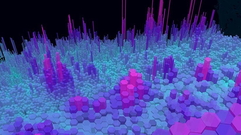
When data volume swells beyond a human’s ability to discern the patterns in it—when a company is faced with truly big data—we need a new form of intelligence. GIS, infused with artificial intelligence, can help executives make better decisions.
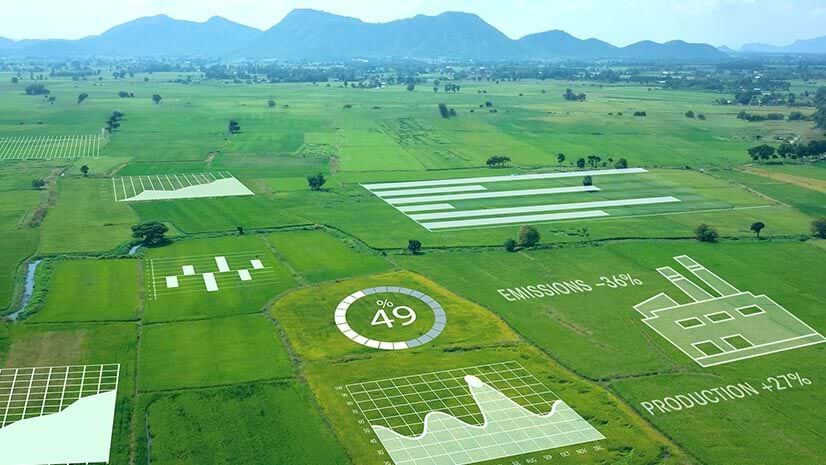
In addition to the work in Kuwait, we are exploring GeoAI’s ability to improve precision farming, disease prediction, and understand crime patterns. In the business world, GeoAI seems likely to enhance planning in many ways: predicting demand spikes, identifying high-margin prospects, adding efficiency to the supply chain, and optimizing service delivery. The list of possibilities is expanding.
The Power Is Yours (finally)
When I tell people about deep learning in GeoAI, some say it reminds them of the neural networks of the 1980s. They are right—today’s deep learning borrows heavily from the concept of neural networks. So why haven’t we been using advanced machine learning since the ‘80s? One answer lies in Moore’s Law, and our newfound ability to handle and process big data. It is now common for a project based on deep learning to spin up multiple machines in the cloud simultaneously, each with massive amounts of storage and memory and all working on the same challenge. It was not long ago that such computing power would have cost a company a significant investment.
Today, you can have it for a song. Moreover, GeoAI capabilities in leading GIS technology are also within reach, meaning you no longer need to play programmer’s Whac-A-Mole. Because of that, many organizations and businesses are beginning to consider how GeoAI might drastically change their decision-making. I think Edison would approve.
Mansour Raad thanks Maher Abdel Karim of the Kuwait Public Authority for Civil Information (PACI) for his contributions to this article.
Main image courtesy of U.S. Geological Survey