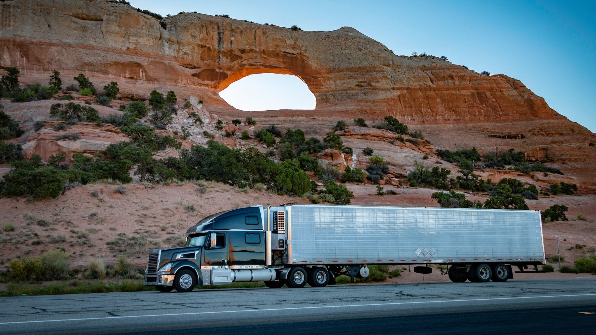
Commercial trucking is a world of tight schedules, thin margins, and fast delivery, but over the last few months, some participants have reconsidered the need for speed.
INRIX, a transportation analytics company, calculates that commercial trucks are traveling 4 percent slower than usual. Not coincidentally, diesel fuel prices have risen more than 60 percent since last year.
Trucking operators know that even small changes in speed can have outsize financial benefits. Anything over 50 mph carries a measurable per-gallon cost penalty, and reducing speed by as little as 5 mph cuts aerodynamic drag enough to improve fuel economy by up to 14 percent.
Operations executives who oversee any kind of fleet—18-wheelers, waste management haulers, utility rigs, self-driving taxis—constantly assess tradeoffs as real-world conditions change. When fleet managers take an analytical view of these variables, they’re applying a form of location intelligence. For many, location intelligence begins with geographic information system (GIS) technology.
Telematics Tells the Story for Fleet Managers
Transport companies use GIS to perform route optimization, a scientific approach to designing shorter routes and reducing fuel spend—all while maintaining on-time deliveries and customer satisfaction. It’s a practice that depends heavily on data.
In today’s transport economy, that isn’t hard to find. Most organizations that operate vehicle fleets use GPS-based telematics to collect data on driving behavior. Fleet managers receive information on everything from idling time and harsh braking to rapid acceleration and engine diagnostics.
When fuel prices rise, these diagnostics become even more relevant. The algorithms in modern GIS technology sort thousands of data points to guide fleet managers on key operational decisions, like whether and where to slow vehicles, and how much can be saved. That insight can lead to fleet-wide adjustments or hyperlocal tweaks.
The Question of Speed
Trucking is not the only industry that has adopted slower speeds to protect margins. In a practice called slow steaming, global shipping companies direct their fleets to move slower when fuel prices surpass certain thresholds.
The practice began in earnest in 2007 as global fuel prices soared. It spiked this April, when the average speed of container vessels was 2.3 percent slower than in the last quarter of 2025.
Yet while slower speeds may be a go-to tactic for fleet-dependent companies protecting the bottom line, other options often go unnoticed. With sophisticated location analysis, operations managers can optimize routes to minimize time on fuel-guzzling hills or schedule electric charging when utility costs are lowest.
GIS analysis also helps route planners minimize another factor that compromises on-time deliveries and spikes fuel costs: traffic. Since two roads of equal length are rarely created equal, GIS algorithms crunch data on historic traffic patterns to design routes that offer the best chance of consistently speedy deliveries. Companies with real-time dispatch centers change routes according to traffic conditions.
As certain segments of the transport economy slow down to preserve profits, they remind us that when the world changes, the process of getting from A to B also evolves. With GIS technology, that process isn’t a best guess; it’s a science.
The Esri Brief
Trending insights from WhereNext and other leading publicationsTrending articles
December 5, 2024 |

January 11, 2024 |
September 22, 2026 |
May 26, 2026 |

June 5, 2025 |

April 7, 2026 |