The Esri Brief
Get location tech news in your inbox
Trending articles


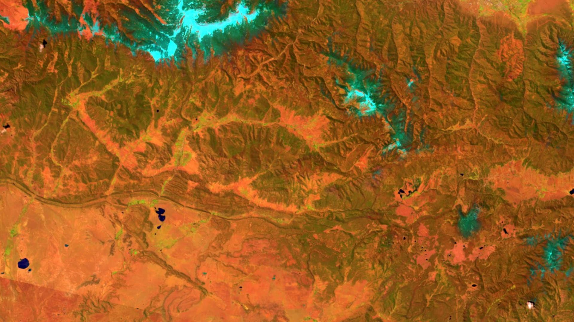
Businesses and government agencies rely on satellite imagery to predict the path and power of storms, the direction of wildfires, or the movement of hostile troops so that they can make intelligence-based decisions. Soon, market traders and business executives will see artificial intelligence (AI)-assisted imagery analyses added to investment research reports, according to the Bloomberg article “Satellites Are Being Used to Expose Tightly Held Secrets in the Commodity Trading World.”
The article highlights new imagery techniques as a next step in supply chain and economic intelligence. Some traders, Bloomberg notes, already get reports that measure the depth of shadows on floating roofs. In this way, they can understand where oil reserves stand before the government releases its weekly report.
Now, satellite tracking firms, such as Ursa Space Systems Inc. and Orbital Insight Inc., are using AI to scan millions of satellite images and translate them into useful data. The firms use certain types of imagery to show supply levels that could influence commodity prices and give their customers a competitive advantage in commodity markets.
The article offers the example of a coal trader who might anticipate demand spikes by examining the size of coal piles outside power plants, and could estimate when supply will catch up based on the activity of trucks at mines.
AI Combines with GIS at Scale
Measuring the miniscule detail of a pile height in an aerial image is challenging enough, but doing so quickly and on a large scale seems nearly impossible. However, by using extensive preprocessing and high-performance machine learning algorithms—a form of AI—imagery analysts can extract meaningful information from these images.
Some industry researchers are wary of drawing too many conclusions, according to the article, saying that data in other commodity sectors may be less reliable.
Still, the capability is within reach, technologically. Geographic information systems (GIS), for instance, have greatly improved imagery intelligence through the use of big data management technology, imagery analysis tools, and artificial intelligence. GIS imagery tools help users tease out information from images more quickly and accurately, and AI augments that analysis by scanning the imagery to identify—by way of machine learning—specific features on the ground.
Through those technological advancements, some business analysts and consultants are already delivering intelligence-based commodity reports and confidently recommending business and investment decisions.
Listen to this podcast for more on the science and business cases behind artificial intelligence.