Editor’s note: To explore more questions and answers in the WhereNext Confidential series, click here.
Question:
I work at a Fortune 500 company, and the data scientists I’d like to collaborate with brush off the idea of using location analysis. Some haven’t heard of GIS technology. How can I inspire them to collaborate?
Answer:
If I were talking with a data scientist colleague, there are two things I would mention: GIS technology gives you a novel way to present findings, and location data gives you a whole new breadth of variables to use in your analyses.
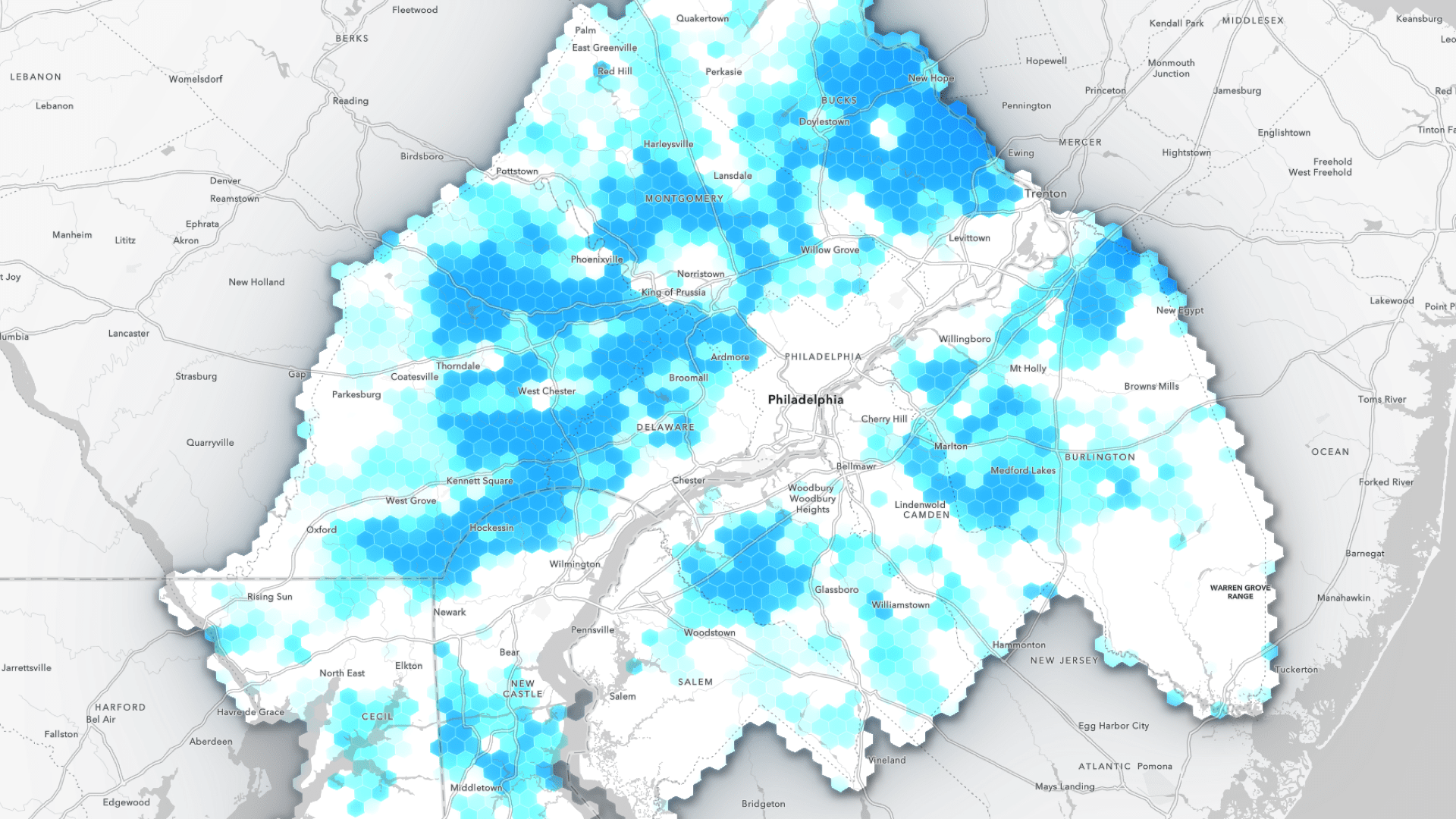
On the first point, one of the hardest things is trying to explain a chart—one you’ve looked at for hours—to someone who’s seeing it for the first time and has 20 seconds to digest it. You don’t have that problem with a map.
A well-designed map is one of the most intuitive ways to share information. Your audience doesn’t have to study the x-axis and y-axis or which data points are there. If you have a clear legend and incorporated text and symbology, your map is going to be very powerful. It’s going to end up in front of an executive, and he or she will understand it immediately.
Second, beyond data visualization, geographic relationships can be really powerful explanatory variables in your models. There’s the first law of geography, where things that are closer to one another have stronger relationships. That applies in data science as well, especially if you work for an asset-based company or a company where the demographics of your customers are important.
You might have a series of customers that behave the same because they’re geographically located near one another. A data scientist can appreciate that the attributes of that location are similar to the attributes of another location, meaning customers in urban areas are going to be more similar to customers in other urban areas.

Look for ways to expose some GIS techniques that the data science team doesn't know about.
Let’s say your data scientist colleague is trying to do something where they need to know about weather events. Maybe your organization has a product that sells well when it’s snowing. We can use GIS tools to create probabilistic determinations of whether it’s going to snow in this location, and how that will affect sales.
My basic argument would be: As a data scientist, you have access to a lot of analytical tools. Geography adds a whole set of tools you’re already familiar with—and that your business users will easily understand.
If you look at the GIS toolbox, there are hundreds of tools in there that most people don’t know about, and they’re really powerful. There’s not a ton of uphill learning. There’s a common ground in the middle that both roles can communicate with.

Once it clicks that the location of your assets is really important, whether it's a movable asset or immovable, a lot of doors open for data scientists.
If you have a question for the WhereNext Confidential series, email WhereNext editor Chris Chiappinelli at wherenext@esri.com
The Esri Brief
Trending insights from WhereNext and other leading publicationsTrending articles

December 5, 2024 |

June 2, 2026 |

May 26, 2026 |

April 7, 2026 |

February 17, 2026 |
January 4, 2023 |