displaying 36 results
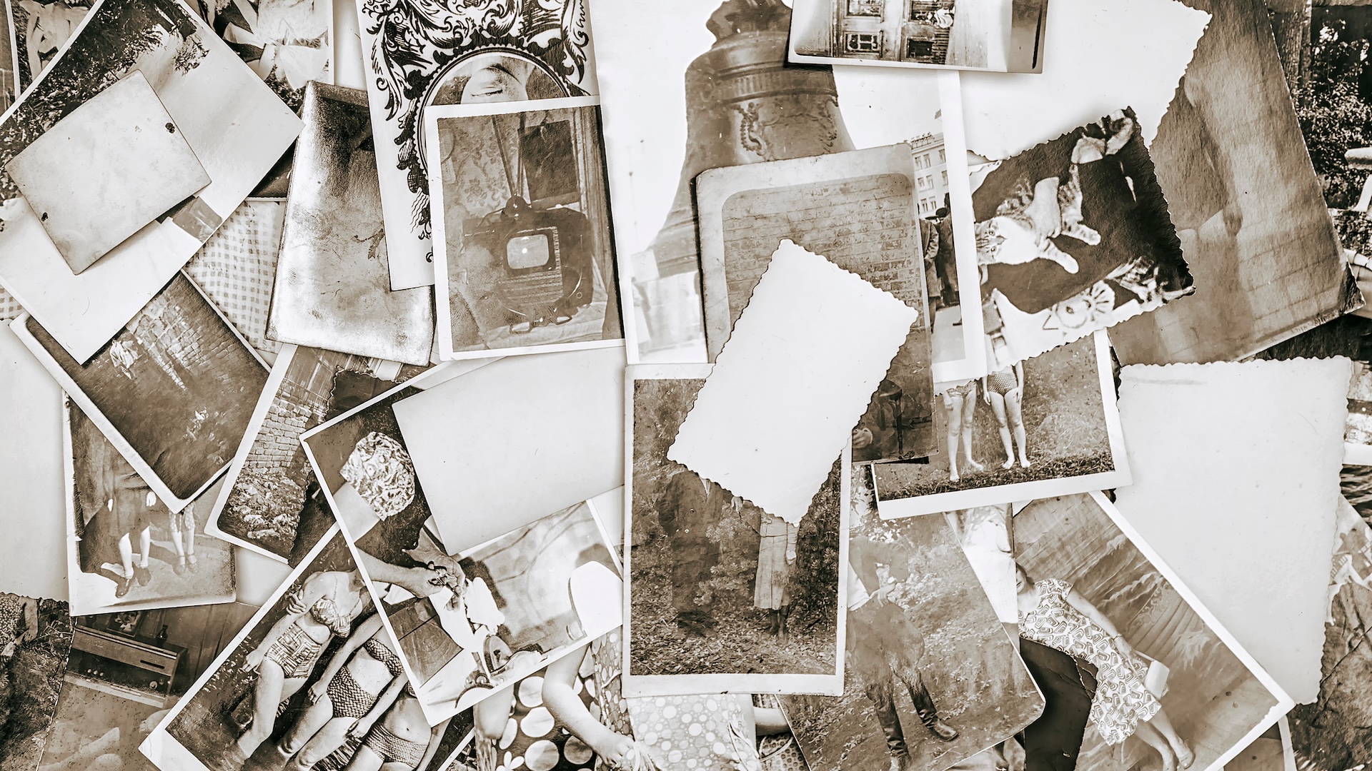
A project to add location details to old photos provides geographic context to places that have been lost to history.
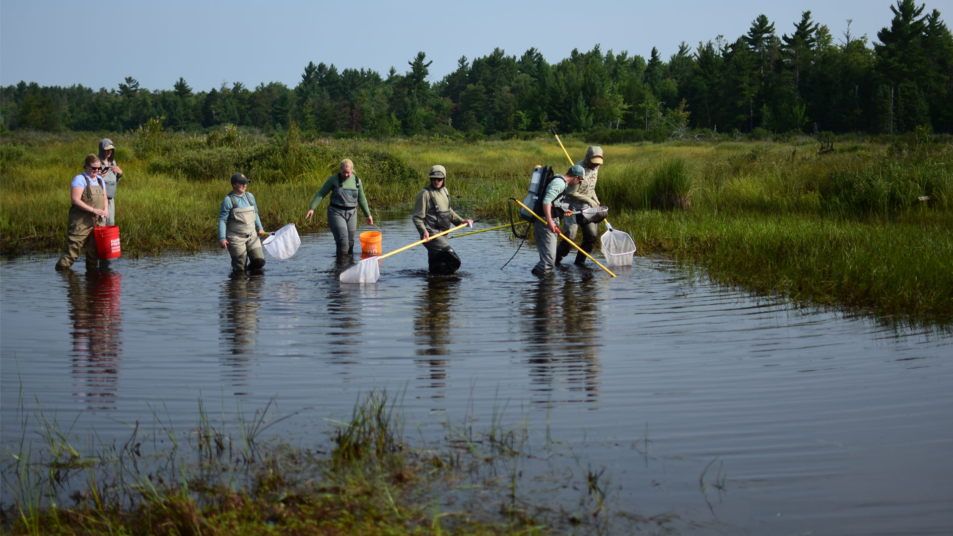
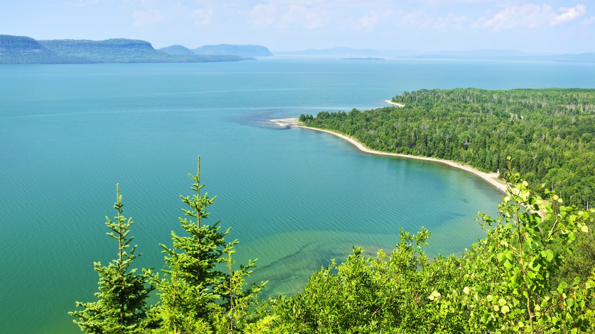
The nonprofit Trout Unlimited uses GIS to identify and remove stream network barriers, protecting the habitat of riverine species.
Former California insurance commissioner Dave Jones has seen climate risk at the systemic level. He has some thoughts on how companies can cope.
Esri’s 45th annual User Conference brought together over 15,000 GIS professionals to explore the latest in geospatial technology.
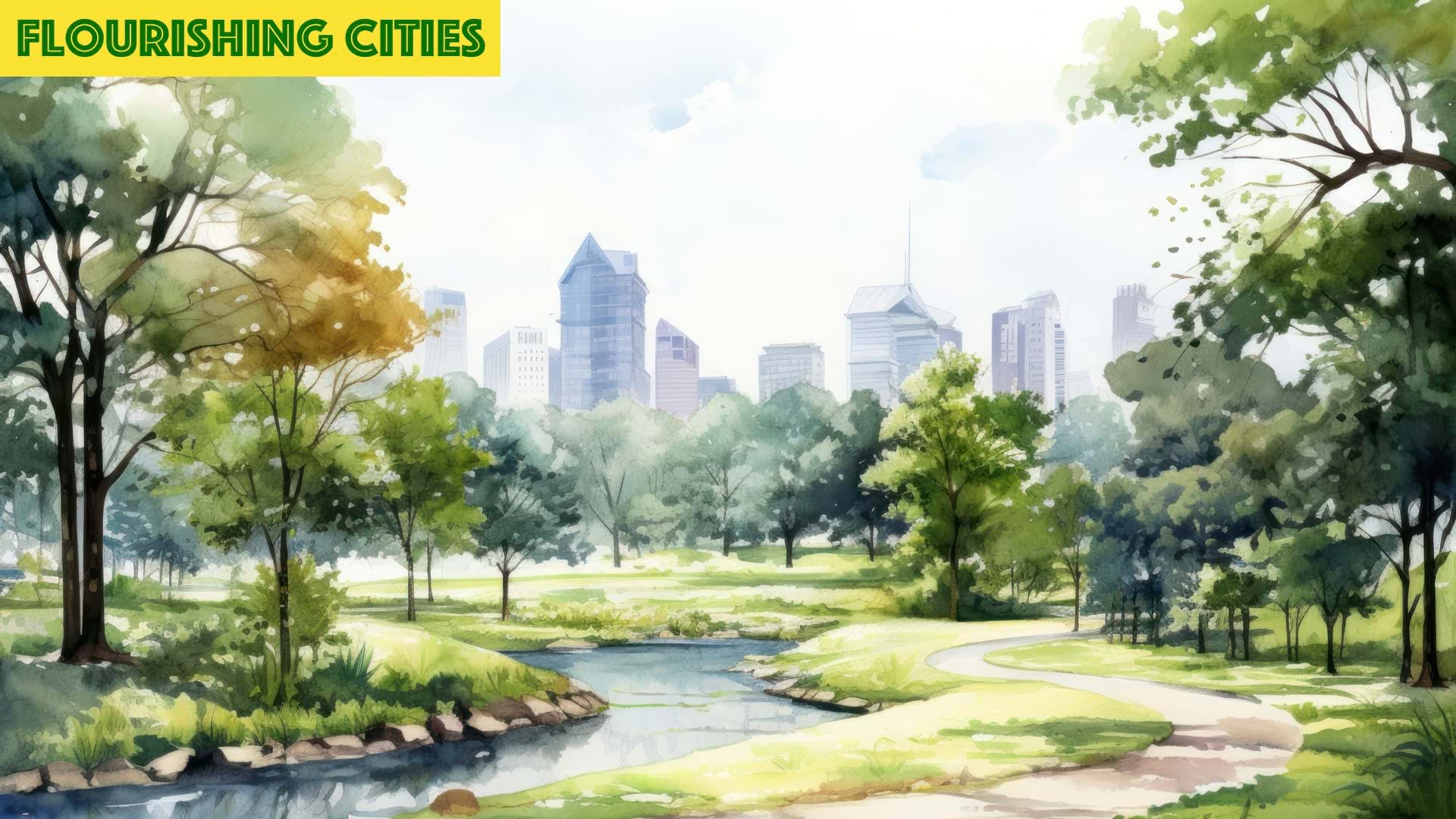
Urban forestry is becoming critical for managing and protecting trees and natural areas as cities grow and expand.

Committing to internationalism in education and research is a long-established practice in the field of geography.

GIS training in a midwestern US city is helping to foster an environment of innovation and collaboration.

Esri partners facilitate and streamline workflows and management of a variety of community management projects.
Wisconsin maps forever chemical contamination sites and water test results to alert the public and prioritize cleanup.

Using ArcGIS Pro and ArcGIS Online, Food Rescue Hero developed a new way to provide fresh food to tens of thousands of people in Pittsburgh.

Charlotte Smith taught herself GIS using Esri’s Learn Lessons. Now, she’s a GIS professor and practitioner who’s making waves in the field.

The tech company is using location awareness to support Black communities by digitally transforming a network of nonprofits.