displaying 17 results

German students or their parents or guardians use a new online survey created with Esri technology to sign up for school bus transportation.
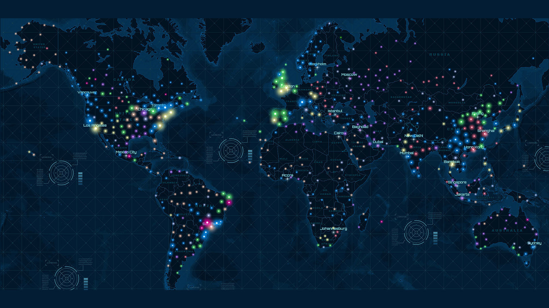
With new clustering capabilities in ArcGIS Online, you can now easily uncover hidden patterns in your data.
Professor Wing Cheung of Palomar College shares tips on how to make story maps really stand out.
Thomas Crowther talks about how location intelligence can be used to target reforestation efforts to reduce the impact of climate change.
Esri’s Chris Andrews and Don Kuehne talk about why integrating GIS and building information modeling (BIM) technologies is important.
Planning for the future will require innovative technologies and design ideas, which will be topics of discussion at the 2019 Geodesign Summit.
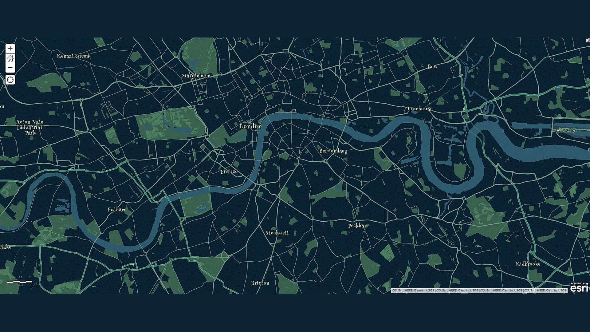
The vector basemaps you use just got better with bigger city font sizes, new beach sprite, and more user-friendly JSON layer names.
GIS for government will be the focus of the Esri Federal GIS Conference, which will be held January 29-20, 2019, in Washington, D.C.
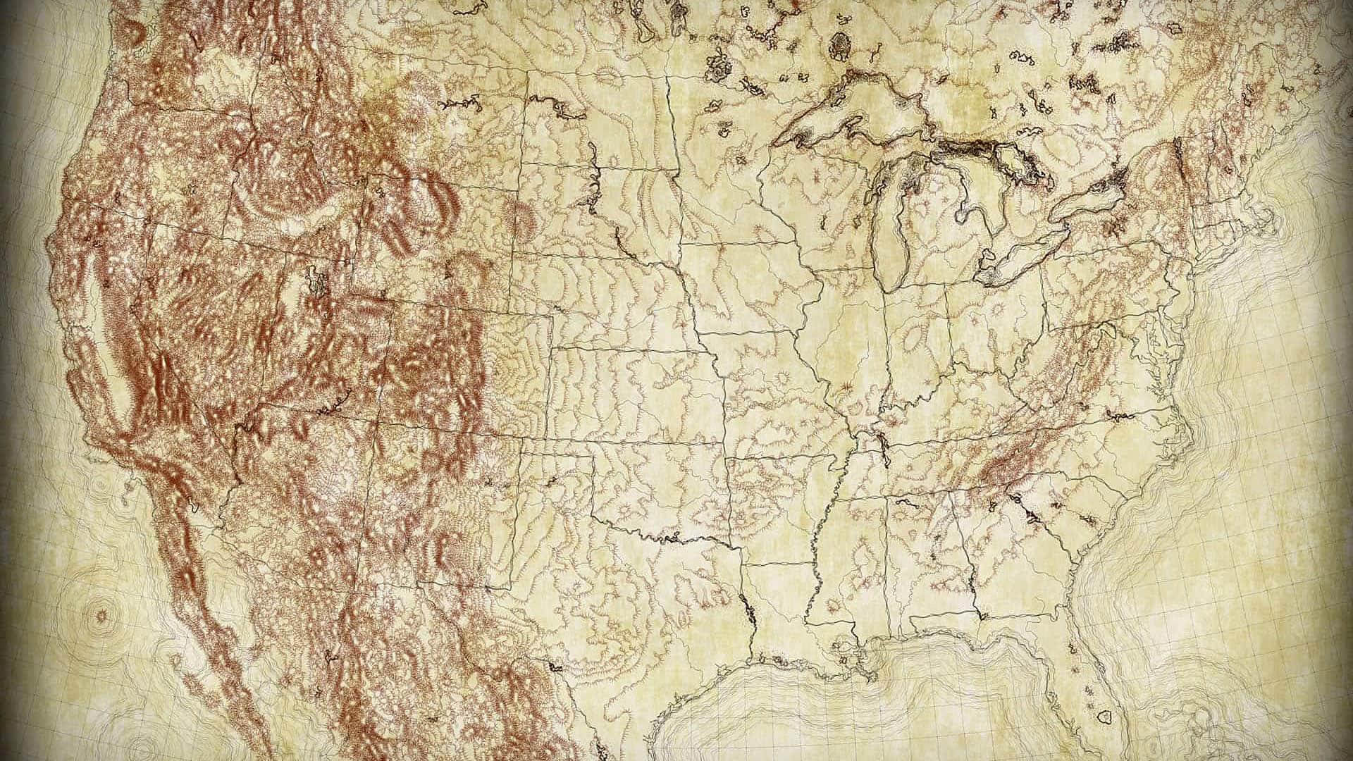
Esri cartographer John Nelson offers five new map styles for ArcGIS Pro.
Kyle Bauer of Esri walks you through the process of creating a network dataset from street centerline data.
ArcGIS API for JavaScript now includes a widget for viewing and editing feature attributes and support for 2D and 3D navigation using Gamepad.
John Deere research scientist Angela Bowman discusses the role that location intelligence and predictive analytics play in farming today.