The Field Operations capability of the ArcGIS Platform enables you to optimize efficiency in field activities with the power of location intelligence. This capability is offered via a suite of field apps that enables you to bring your maps and the power of GIS into the field.
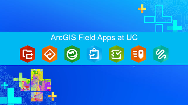
The ArcGIS field apps include: Collector for ArcGIS, Survey123 for ArcGIS, Workforce for ArcGIS, Navigator for ArcGIS, Explorer for ArcGIS and two new apps: Tracker for ArcGIS and ArcGIS QuickCapture. Next week, the Esri 2019 International User Conference will be held in San Diego, CA. This blog is a short guide to activities at the conference related to field operations in ArcGIS.
UC Expo
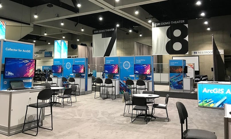
The UC Expo area is located on the first floor of the San Diego Convention Center (SDCC) and is where you will find Esri industry neighborhoods, ArcGIS software product areas, partner booths, demo theaters, and booths for technical support, training services, and much more.
The ArcGIS field apps will be in their own “Field Operations” area in the Expo, located among the other ArcGIS product areas. Every field app will have its own dedicated station, staffed by members of the respective Development teams. Please come here to meet with us to learn about the apps, see demos, share your feedback, and get your questions answered.
Field Operations Special Interest Group (SIG)
Formerly known as the Mobile SIG, the Field Operations SIG allows you to hear from your peers on how they have successfully implemented Esri field apps to boost efficiency and productivity in critical activities that are common to field operations.
Wed July 10 11:30 am – 12:30 pm SDCC Ballroom 29B
Technical sessions and Demo Theaters
You can also learn about the ArcGIS field apps by attending technical workshops and demo theaters. These will be presented by members of the Dev team and Solution Engineers from various industries.
If you’re just getting started with field operations, we suggest you attend this session first. It provides an overview of field operations and gives a tour of all the ArcGIS field apps.
ArcGIS Apps for the Field: An Introduction
Tues July 9 4:00 – 5:00 pm SDCC Room 2
Wed July 10 8:30 – 9:30 am SDCC Room 2
Next, you can focus on the individual field apps that meet your specific business workflows:
Collector for ArcGIS enables the use of your smartphone or tablet to collect and update information in the field with a map-centric user experience, whether connected or disconnected.
Collector for ArcGIS: An Introduction
Tues July 9 8:30 – 9:30 am SDCC Room 1 A/B
Wed July 10 4:00 – 5:00 pm SDCC Room 1 A/B
Fri July 12 9:00 – 10:00 am SDCC Ballroom 6B
Collector for ArcGIS: Working with High Accuracy Data
Tues July 9 8:30 – 9:30 am SDCC Room 10
Wed July 10 10:00 – 11:00 am SDCC Room 30 B
Collector for ArcGIS: Authoring Effective Maps for the Field
Tues July 9 10:00 – 10:45 am Expo Demo Theater 9
Wed July 10 1:15 – 2:00 pm Expo Demo Theater 9
Collector for ArcGIS: Using Relationships with Your Inspection Workflows
Tues July 9 2:30 – 3:15 pm Expo Demo Theater 9
Collector for ArcGIS: Authoring Maps for Offline Data Collection
Tues July 9 1:15 – 2:00 pm Expo Demo Theater 9
Wed July 10 4:00 – 4:45 pm Expo Demo Theater 9
Troubleshoot Like an Esri Support Pro: Collector for ArcGIS
Wed July 10 1:15 – 2:00 pm Expo Demo Theater 9
Survey123 for ArcGIS is a simple and intuitive form-centric data gathering solution that makes creating, sharing, and analyzing surveys possible in just three easy steps.
See the Survey123 for ArcGIS at UC blog for more details.
Workforce for ArcGIS is a mobile app solution that uses the power of location to coordinate your field workforce. It integrates work management to reduce reliance on paper and provides everyone with access to the authoritative data they need.
Workforce for ArcGIS: An Introduction
Tues July 9 1:00 – 2:00 pm SDCC Room 8
Wed July 10 2:30 – 3:30 pm SDCC Room 8
Workforce for ArcGIS: Integrating with Other Systems
Thurs July 11 10:00 – 10:45 am Expo Demo Theater 12
Navigator for ArcGIS is a professional mobile navigation app for Android and iOS that enables you to route your field workforce.
Navigator for ArcGIS: Connecting to Preplanned Routes
Tues July 9 1:00 – 2:00 pm SDCC Room 30 A
Wed July 10 2:30 – 3:15 pm Expo Demo Theater 9
Navigator for ArcGIS: An Introduction
Tues July 9 2:30 – 3:30 pm SDCC Room 15A
Explorer for ArcGIS is a mobile app for iOS and Android that enables you to take your maps with you everywhere you go.
Explorer for ArcGIS: An Introduction
Tues July 9 1:00 – 2:00 pm SDCC Room 14 A
Wed July 10 1:00 – 2:00 pm SDCC Room 9
Explorer for ArcGIS: Working with Offline Maps and Markup
Wed July 10 10:00 – 10:45 am Expo Demo Theater 9
Tracker for ArcGIS is a mobile solution that enables organizations to capture the tracks of field staff, monitor where they are, and analyze where they have been.
Tracker for ArcGIS: An Introduction
Tues July 9 10:00 – 11:00 am SDCC Room 15A
Wed July 10 2:30 – 3:30 pm SDCC Room 14 A
Introducing Location Tracking in ArcGIS
Wed July 10 1:00 – 2:00 pm SDCC Ballroom 6E
Thurs July 11 1:00 – 2:00 pm SDCC Ballroom 6F
ArcGIS QuickCapture is a new mobile application that allows you to capture field observations with the single tap of a button. QuickCapture is specifically designed to help you capture field observations fast.
ArcGIS QuickCapture: An Introduction
Tues July 9 4:00 – 5:00 pm SDCC Room 1 A/B
Wed July 10 2:30 – 3:30 pm SDCC Room 10
There’s also a new session this year that discusses the ArcGIS field apps and security considerations,
ArcGIS Field Apps: Enterprise Deployment Strategies and Security Considerations
Thurs July 11 1:00 – 2:00 pm SDCC Room 33 A/B
We also suggest visiting the various Esri Industry Neighborhoods where you’ll be able to see many ArcGIS field apps in action including: ArcGIS Solutions for Local Government, ArcGIS Solutions for State Government, and ArcGIS Solutions for Emergency Management.
To learn more, please review the Esri conference agenda or download the Esri Events mobile app.
Safe travels coming out and we hope you have a great time at UC!!
Sincerely,
The ArcGIS Field Apps Dev teams


Commenting is not enabled for this article.