ArcGIS IPS is an indoor positioning system that visualizes your live position inside a building as a blue dot on a digital map. It supports multiple use cases to enhance the building occupant and visitor experience, safety and security, and asset management.
ArcGIS IPS is currently available with ArcGIS Indoors, ArcGIS Field Maps and for custom-built apps using the ArcGIS Maps SDKs for Native Apps. To enable indoor positioning there are two distinct methods – classic survey-based ArcGIS IPS setup or the new and streamlined survey-less ArcGIS IPS setup method.
The traditional survey-based method involves planning the survey in either ArcGIS Pro or the ArcGIS IPS Setup app and the process of capturing radio signal data of the indoor spaces inside a facility while walking along preplanned paths twice (also known as a “survey”).
This process may be challenging in large facilities, due to the amount of time that needs to be invested and a certain level of familiarity with the indoor space that may be required.
To overcome these limitations, the ArcGIS IPS team has developed a new indoor positioning deployment method that no longer depends on a radio signal survey, aka survey-less IPS. Watch a recording of our webinar on this new method here.
Let’s take a closer look at both methods.
Classic, survey-based IPS
The traditional workflow for enabling indoor positioning with Bluetooth beacons is survey-based and requires the following steps:
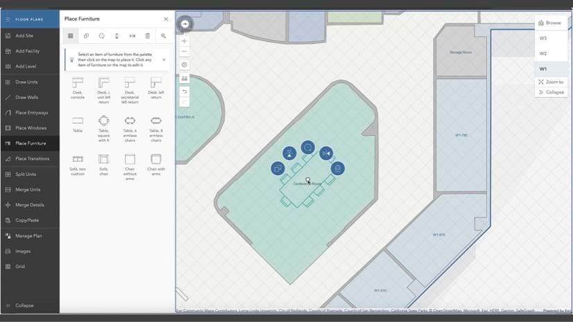
- Create the necessary data structures, such as the ArcGIS IPS Information Model and floor plan data of your facilities that conform to the ArcGIS Indoors Information Model, using ArcGIS Pro.
- Visit your facilities and strategically install the beacons on the interior walls according to the beacon placement plan.
- After making sure all the necessary hardware is in place, you conduct surveys, i.e. collecting radio signal data, within your indoor environment. During the survey, you walk around your facilities on predefined paths covering all areas ArcGIS IPS should be enabled in.
- Process the collected data from the surveys to create indoor positioning reference data.
- Once the reference data is generated, you area ready to use ArcGIS IPS and locate your real-time position on the indoor map, visualized as a blue dot, in the mobile app.
Streamlined, survey-less IPS
Survey-less IPS was initially released with ArcGIS Pro 3.2 and made available through the geoprocessing tool ‘Generate Indoor Positioning File Without Survey’ . In ArcGIS Pro 3.3 , survey-less IPS support has been extended to work with the new IPS Information Model and is available selecting the ‘Survey-less’ generation method in the new geoprocessing tool ‘Generate Indoor Positioning Dataset’.
These tools provide access to an innovative technology based on artificial intelligence that generates reference positioning data based on floor plan information, Bluetooth beacons’ power settings and their location within the built environment .

At the core of the survey-less technology there is a physics-based machine-learning model trained with real survey data collected across multiple environments with multiple devices. It predicts with high accuracy the spatial distribution and intensity of Bluetooth signals in custom-defined ArcGIS IPS-areas. Survey-less IPS ensures accurate indoor positioning and streamlines your workflow, making it faster, more efficient and easier to set up an indoor positioning system.
Despite the improvement and benefits the new method brings, survey-less IPS does have some limitations. While the algorithm excels in most scenarios, it may not be able to accurately predict signal propagation in unconventional environments, especially since architectural elements and infrastructure materials can impact signal behavior.
To capture the specifics of signal propagation in such challenging spaces, it may be necessary to (additionally) perform a classic, survey-based IPS setup.
Since the introduction of the new IPS information model released in May 2024, it is also possible to augment a survey-less IPS deployment with additional indoor positioning data obtained from a survey. In this case, the survey is performed only in targeted indoor areas where the survey-less approach couldn’t generate sufficient indoor positioning data. By leveraging this feature, organizations can significantly improve the accuracy and reliability of their indoor positioning systems .

Outlook
Introducing survey-less IPS is one step towards making an indoor positioning system deployment easier and faster. In the future, there will be further technology enhancements that will allow us to provide an even more streamlined experience. For example, to reduce barriers, we are already working on new ways to reduce the hardware that is currently still required for an indoor positioning setup.
Sign up to the indoor GIS newsletter to receive news and updates, visit the ArcGIS IPS product page to learn more, and join us on the Esri community to ask questions and share your ideas for future product enhancements.
Watch the webinar recording:


Commenting is not enabled for this article.