Annnnnnnnnd pow. The Firefly imagery basemap just dropped. This basemap has been in beta this past year, available for you to try out and provide your valuable feedback. It’s now officially released/unleashed to the masses for all sorts of adventurous Firefly mapping.
esriurl.com/FireflyBasemap
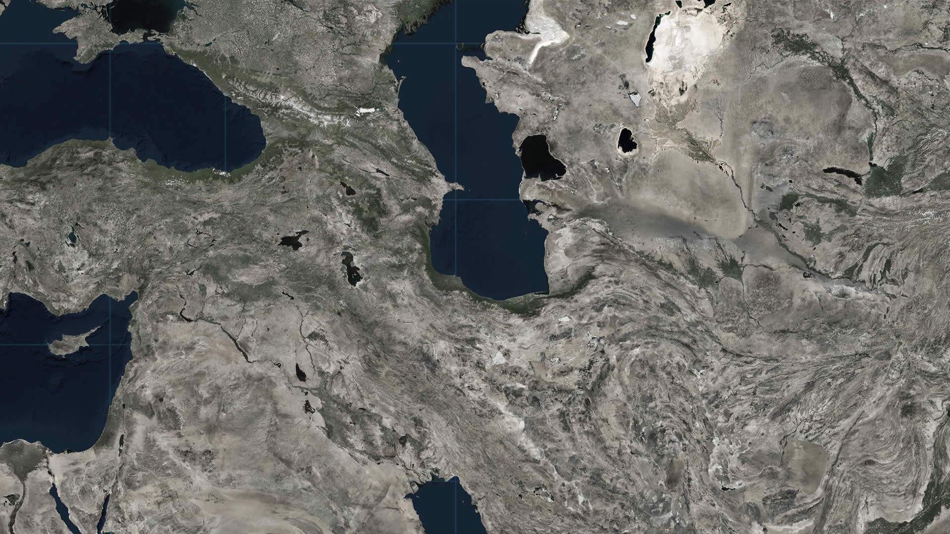
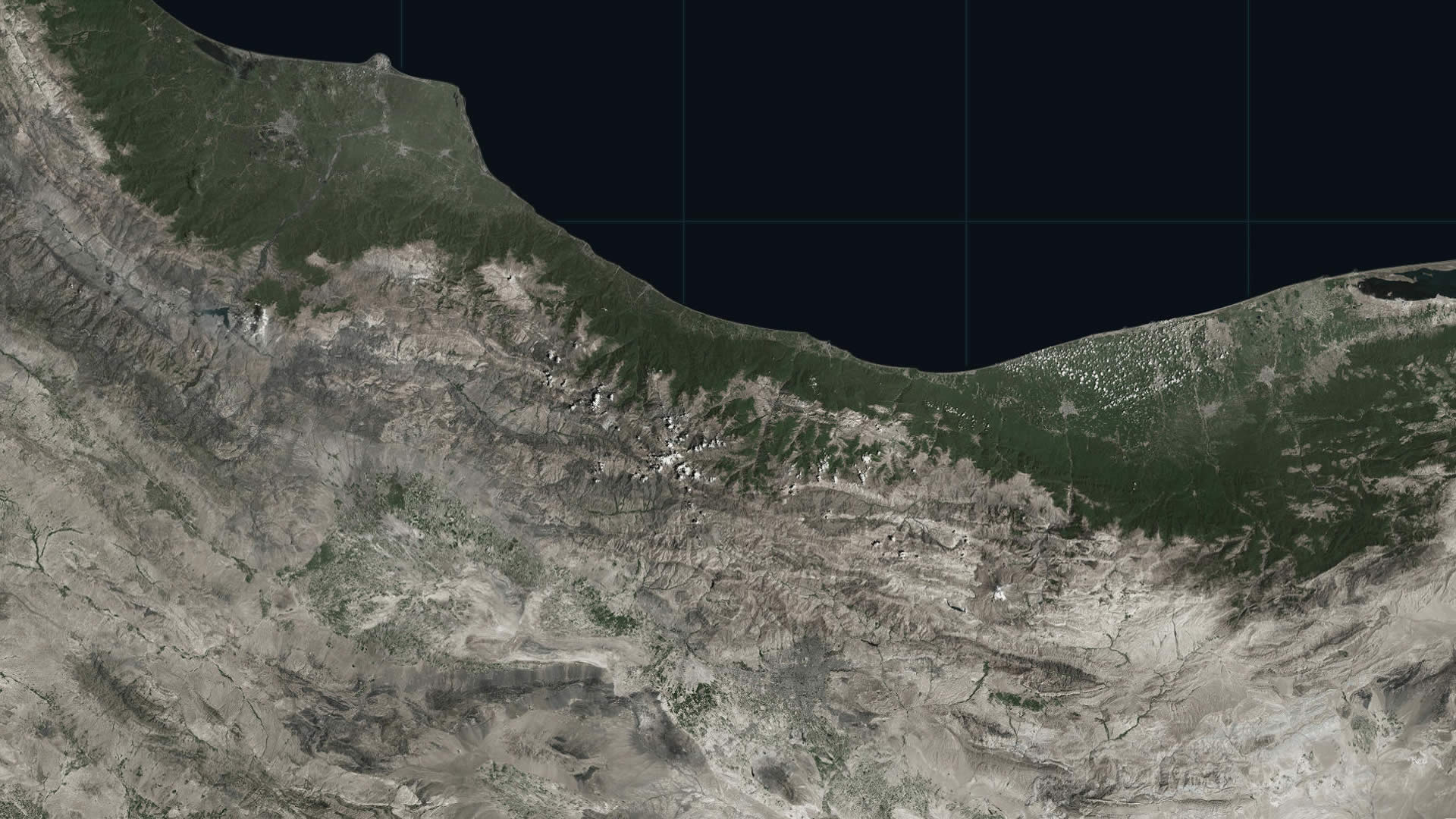
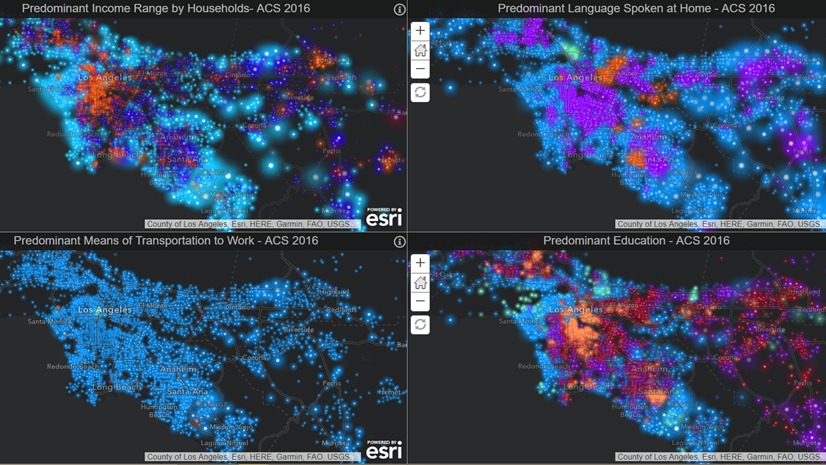
Why Firefly? The Firefly imagery basemap is an interesting option for any application where imagery is required for valuable landcover/topographic context but also needs to recede into the background to best play a supporting role to the thematic layers that live atop. Like this app. And as you zoom in, and need more specific geographic context that color provides, the basemap gradually returns to full-color.

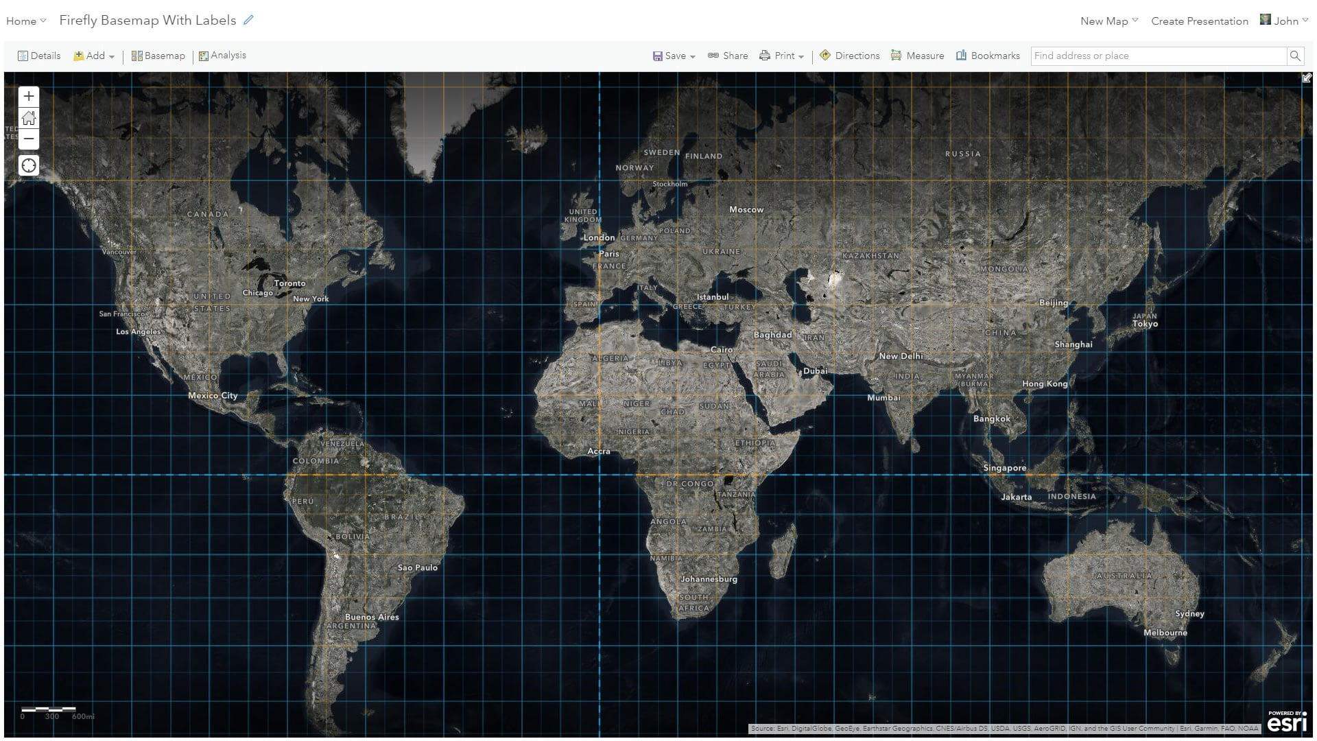
When you are constructing your Firefly map and you’d like to have some reference labels, The Human Geography Dark reference layer is ideally suited. Here is an ArcGIS Online web map where it’s already been added for you.
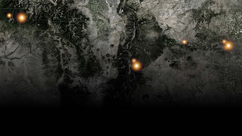
Here is that map, along with a Firefly graticule.
So if you haven’t given the Firefly imagery a try, ponder giving it a spin in your next map, either in ArcGIS Online or as a basemap in ArcGIS Pro. Let your data shine and your basemap…base.
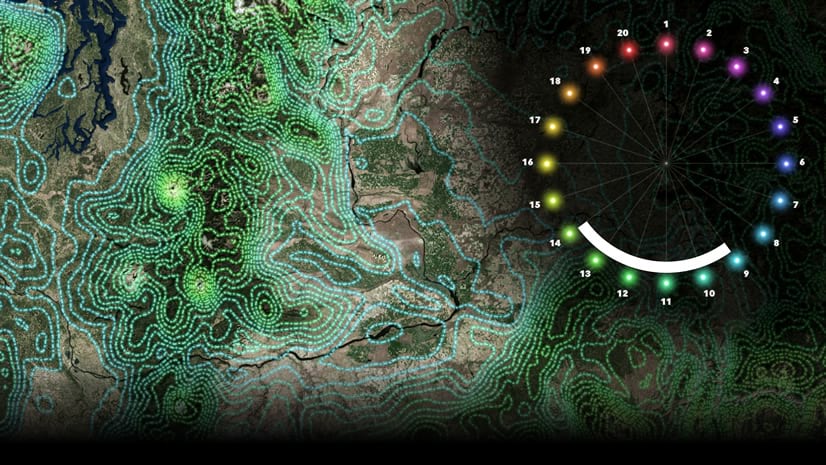
- Consider using the Firefly point symbols in ArcGIS Online atop this basemap.
- Search your feelings, and determine if you are ready to download the Firefly Style for ArcGIS Pro.
- Explore the growing collection of Firefly resources in the Living Atlas. If you dare.
Happy Firefly Basemapping! John Nelson


Commenting is not enabled for this article.