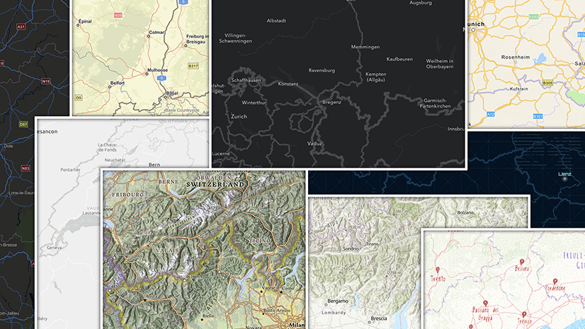
Our basemaps contain a huge amount of detail, particularly at larger scales. However, there comes a point where the scale is so large that content thins out, generalization becomes an issue, and the map ceases to be useful. Fortunately, we have imagery available now at those scales – the ultimate in content! But how to make two completely different items into one?
I’ve made attempts to do this over the years (as has John Nelson) by using progressive degrees of transparency on an existing basemap. Now, with the new Map Viewer Blend tools, and the Vector Tile Style Editor (VTSE), this is a much easier operation. Emily Meriam used it to great effect with her ‘Wildfire Aware’ basemap, blending a custom vector tile map with hillshade and imagery. Her transitions came in at the mid-scales though. My interest is in changing it at a much larger scale, and making that transition as smooth as possible.
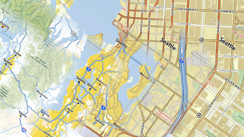
The Imagery Transition Basemap

I’ve built a map palette that I hope fits in well with the transition. Working with color over Imagery can be a bit of a nightmare as you try to match an ever-changing imagery palette. Fortunately, at these scales it’s calmed down a bit
The fade-in of Imagery begins around Zoom/Level 13, and transitions completely around Zoom/Level 17. The fades were achieved using the opacity tools in the VTSE on individual layers. Not all of them work over the same scale range though, as I tried to finesse the final look. Labels and some features (such as tunnel tracks) continue into the Imagery.
Links
The basemap is a creative prototype, but it is available for you to use with your maps. I’m not planning to take it offline any time soon, but if that concerns you, make a copy to your own account via the VTSE (The content will continue to update on a regular basis, but any future style changes I make will not carry over). Of course you are free to make adjustments to your own copy, or use it as a starting point for anything else you may want to do.
Here is a link to a single tile layer with map content and labels. I’ve switched off any data layers I don’t need, but they are still available to you through the VTSE.
There is also a ‘sandwich’ version. This layer is the base, and this one the reference. In these versions I’ve removed the data layers that are not being used.
This web map uses the ‘sandwich’ version. It includes hillshade as an option, placed over the base, with a ‘multiply’ blend applied.
The web map and the ‘sandwich’ layers are also available in the ArcGIS Living atlas of the World (search ‘imagery transition’)
Note: The tile layers will work in Map Viewer and Map Viewer Classic. The Hillshade overlay in the web map requires Map Viewer blend tools to work properly.

Article Discussion: