Cities, counties, states, and provinces worldwide address racism to ensure equitable opportunity for their constituents—and geography is critical to the work. State, provincial, and local governments are looking for opportunities to address inequities in developing public policy and services rapidly. Agencies within these same governments turn to GIS to improve decision-making and ensure equitable service delivery. The use of geospatial technology coupled with a robust framework for racial equity provides communities, government, and organizations with tools to empower and accelerate their efforts.
On April 1st, 2021 join Esri for the third installment of the three-part webinar series to learn how state and local governments can leverage GIS to build a more equitable and just world. In this webinar, you will learn about capabilities you can use to jumpstart your efforts to ensure that a person’s race, ethnicity, or other social characteristics do not impact their outcomes in your jurisdictions.

What You’ll Learn
- How you can use GIS as a framework to assess and advance equity in your communities.
- How to browse Esri’s Maps for Public Policy, a curated collection of content, training, and datasets, to use as a baseline for your research and analysis, and build a ready-to-use collection of maps to share with your stakeholders.
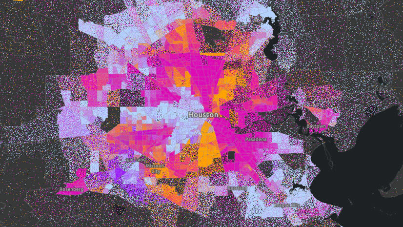
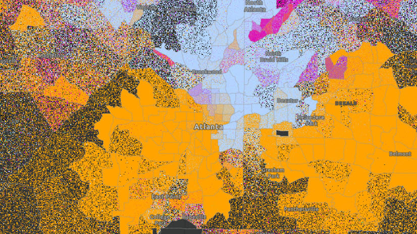
- How to access available data in ArcGIS Living Atlas on racial equity topics ranging from economic mobility, to environmental factors, to health outcomes that can be added right into your maps.
- How to use location technology to demonstrate gaps in access to community assets and other inequities.
- How to leverage tools such as configurable apps, interactive web maps, and dashboards to educate and act on the results of your analysis.

GIS as a Framework for Racial Equity
Esri provides comprehensive GIS and location intelligence resources to support a broad range of racial equity and social justice initiatives. In many ways, these resources reflect the emerging and best practices for advancing racial equity and social justice that the leaders working in and around your organizations have been executing and evolving for many years.
This includes a Racial Equity Workflow derived from emerging and best practices for advancing racial equity and social justice, that we have infused with best practices for GIS and location intelligence. The Racial Equity Workflow is a critical aspect of applying GIS as a framework for Racial Equity. Organizations working towards racial justice are always either implicitly or explicitly executing this cycle of engaging communities, mapping and analyzing equity, operationalizing best practices, and managing performance of initiatives. You can learn more about how organizations can execute this workflow with GIS tools on the upcoming webinar.

We intend to continue evolving our guidance and capabilities as your needs and efforts to address racial equity evolve. Find an overview of how GIS can help organizations address racial equity here.

Additional Resources
- Watch the recording of the first webinar in the series: A Framework for Racial Equity and Community Outreach in State and Local Government
- Watch the recording of the second webinar in the series Using Location Intelligence to Address the Impact of Racial Injustice on Health Equity
- Visit the Racial Equity GIS Resource Hub to find relevant datasets, maps, and applications from organizations around the world who are leveraging GIS to advance equity and social justice. It is updated frequently, so check back often!
Update 4/6/21: In case you missed it!
- If you missed the webinar, you can watch it here
- Slides from the webinar can be found here
- Responses to questions in the Q&A can be found here


Article Discussion: