Better late than never, right? Happy 2019 dear people of the online world!
Not that anybody really missed me, but I am back from holidays and already brimming with excitement to send out my next blogpost and I like to think that we’re picking up where we left off, with great quality user stories that make my job as “the writer of this blog” so very, very easy.
The curriculum of the future!
Today we’re shining the spotlight on Jefferson and their amazing Geospatial Technology for Geodesign program. Talking to the University Program Director Jim Querry almost made me want to start my studies all over again…but only almost.
Jefferson itself is a result of both Philadelphia University and Thomas Jefferson University joining forces. The Master of Science program in Geodesign as it exists today as part of the College of Architecture and the Built Environment has been around since 2013. This program sets itself apart from others by fusing together technology and design thinking and working together, mostly also in collaborative focus groups, with partners from within different industries on real issues.
Luckily for us Jefferson loves ESRI products, there can be no true Geodesign without 3D and knowing CityEngine is integrated into part of Jefferson’s curriculum makes my heart skip so many beats that it’s practically writing its own syncopated symphony.
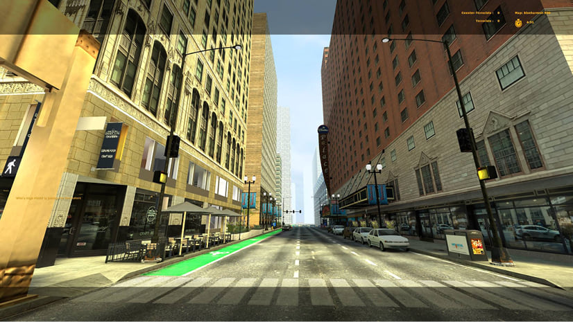
As such, lots of fantastic projects have spawned from this program and one of the more notable ones is “The Rail Park”.
For those of you who have been to New York, you can pretty much think of this as Philadelphia’s version of the High Line.
What was the process?
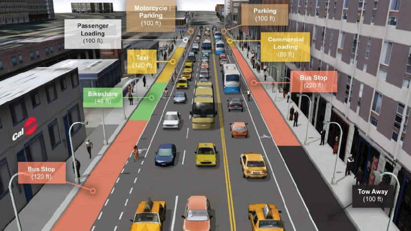
Redevelopment of this site began with an intensive spatial analysis of the surrounding area and the development of a 3D digital model of existing conditions. From there, design alternatives were developed based on community engagement and stakeholder participation throughout the design process. The 3D digital models aid in the design process by including real-time ‘rapid iterations’ of design alternatives achieved with community stakeholders.
Taking into consideration the comments and feedback from the focus group, each team of students, a collaboration between the MS in Sustainable Design, Landscape Architecture, and Geodesign programs, developed a design based on the guiding principles and goals established in collaboration with the community focus group.
The final deliverable of the studio included design concepts for the site, 3D digital models of the existing conditions and several proposed design alternatives, as well as all research and analysis done throughout the semester.
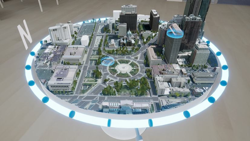
The outcome of this can be seen here in this beautiful example. It really shows how well things can turn out when technological mediums are used as a tool to actually enhance the creative process.
…but wait, there’s more!
As if this wasn’t cool enough, the students in their design studios have most recently worked on solving complex planning needs for Kamuzu Central Hospital (KCH) in Malawi.
Our role in this studio was to create a 3D, parametric model of both existing conditions and proposed designs for the KCH campus. We worked with architecture and landscape architecture students to simulate what these proposed designs may look like. With the feedback from KCH stakeholders, we were able to test multiple iterations of the design in real time and communicate this feedback to the design teams.
I could go on and on about this but Jefferson also make use of other ESRI technologies to help them tell their stories so you’re much better served to check out this awesome story map.
Essentially though, this university curriculum captures the vision behind ESRI pretty much down to a tee: being able to use technology to help solve real world problems together.
Well done Jefferson! The Geospatial Technology for Geodesign program is truly great advancement in classroom teaching!

Commenting is not enabled for this article.