Blog updated with ArcGIS Online June 2022 update.
Announcing the ArcGIS Instant App: Countdown! Show a specified number of top or bottom features in your map as sorted by a particular attribute. This enables data journalists, decision support analysts, and others to create an app that delivers an interactive, data-driven tour of features. In addition to the countdown experience itself, an interactive Leaderboard (sorted list) section provides an at-a-glance view of multiple features. Details sections help orient your viewers and tell a complete story by providing context alongside map.

Countdown is one of many templates in ArcGIS Instant Apps and is out of beta as of the December 2021 release of ArcGIS Online. Like all Instant Apps, you can easily place your web map in an app from within the New Map Viewer.

Easy configuration experience
Sections
There are three major section types to choose from: Details, which is a text-based section appropriate for introductions, conclusions, or summaries, as well as Countdown and Leaderboard, both of which pull from your web map’s pop-up.
In this example app, there is a Details section titled Intro, followed by a Countdown section, Leaderboard section, and lastly a Details section titled Conclusion. Adding and reordering these sections is simple in the configuration panel:

In the app itself, the sections appear in the side toolbar. People viewing this app can experience each section and click Next at the bottom to navigate through, or click the sections on the side toolbar for a self-directed experience.
Details
Details sections are text-based sections designed to help you provide context alongside your map. The name you give your details sections, such as Intro and Conclusion, will appear on the side toolbar of the app for your viewers to see. These details sections can be used to tell a narrative story around the trends and geographic differences you are presenting in your app, along with some key takeaways. These sections can also be used is a great place to provide definitions, sources, and more information.
Countdown
The Countdown section is the bread and butter of this focused Instant App experience. It’s a guided tour of the top (or bottom) features of the map. Sorting is based on the attribute chosen. In this example app, I’ve chosen 10 as the number of features, and I’ve chosen the attribute: Median Age of Total Population. Hence, the app shows the top 10 counties with the highest median age.
, and ranking field.")
The information displayed on the side comes directly from the web map’s pop-up, including any charts, images, or other media.

Leaderboard
Accompanying the map-based countdown experience is an optional list-based Leaderboard section. The Pin to Compare button allows the app’s viewers to pin a particular feature to compare with others on the list. Up to two pop-ups can be docked for comparison. The leaderboard section does not need to have the same number of features as the countdown. In this example, the leaderboard has a list of the top 15 oldest counties, whereas the countdown goes through the top 10.
With more features listed, the higher potential for ties in the data to show up. The numeric rankings on the list honor ties in the data. For example, there are two counties in the United States with a median age of 57.4. These two counties are both ranked 13, and the next ranking that displays is 15 (there is no county ranked 14).

Express vs. All Settings
Upon entering the app configuration in any Instant App, you are taken to Express Setup, a quick way to get started by only configuring the core options. If you want more control over your app, enter All Settings. All Settings includes options such as:
- Having the legend show up when the app loads.
- Changing the placement of app widgets through the Position Manager.
- Choosing a Light or Dark theme, or shared theme to take advantage of branding colors set by your ArcGIS Online organization’s administrators.
Interactive viewing experience
Those viewing your app can interact with any feature in the map, not just those highlighted in the Countdown or Leaderboard sections. This allows viewers to view and dock the pop-up for their own feature of interest, such as their own county, school, etc. and compare it to those highlighted in the app. For example, I docked the pop-up for Esri’s home county of San Bernardino so as to compare it with others in the leaderboard:

Enhancements with the June 2022 release
The main enhancement in the June release was the addition of autoplay. Now app creators can opt to provide a play button for app users to cycle through all countdown and leaderboard lists without requiring additional interaction. This is great for app users who will be displaying the app by projecting it before a presentation, or at a booth kiosk.
Enhancements with the Mar 2022 release
The two major enhancements with this release are the ability to apply feature effects in the Visualization Mode option, and the ability to import list settings between the countdown and leaderboard sections.
Visualization Modes
In December, ArcGIS Online introduced feature-specific effects such as drop shadow, blur, bloom, and grayscale. In the new release of the Countdown Instant App, the app creator has the option to apply these to the specific feature being displayed in the countdown. These effects help emphasize one feature and de-emphasize all the others.
Try experimenting with these effects give your Countdown apps a modern look. These effects have been expertly paired so that exploring combinations of these effects are just one click away. Drop Shadow + Blur works well with light basemaps (example shown below), but there are many others to choose from. For best results, these work well when the Highlight result option is toggled off.

Import List Settings
With today’s release, you as the app creator also have the ability to import settings from Countdown to Leaderboard and vice-versa. This will improve quality by ensuring the same field has been chosen for both sections.

This is not selected by default, so if you do want to have different attributes driving the two sections, you still have the ability to do so.
Enhancements with the Dec 2021 release
This app is now out of beta as of the December 2021 release. The main enhancement with this release is the ability to apply a map filter.
Map Filter
If you’re accustomed to working with maps available in ArcGIS Living Atlas, you know that the vast majority of these maps have nation-wide, or even world-wide coverage. We’ve heard from many customers that you need to be able to filter these maps to your state or county. Previously, you could do this by filtering in the map viewer itself, and saving a filtered map to use in your instant apps. With Countdown’s new Map Filter ability, you can use a nation-wide map and filter within the app configuration experience.
In Step 2 of the Express Setup adding sections, I can apply a Map Filter. For example, here I am filtering a county-level layer such that the attribute called “State” is equal to Texas:

While the web map remains nation-wide, unchanged, the app now only counts down through counties in Texas. Only counties within Texas are mapped, and the Countdown and Leaderboard sections only rank counties within Texas:

Other Enhancements
In addition to the Map Filter capability, new capabilities that are present in other Instant Apps such as Navigation Boundary and Custom Theme are now available in Countdown. There have also been improvements for mobile viewing.
I’ve used Geo List in the past, what does this mean for me?
If you are familiar with the Geo List app available in Configurable Apps, here’s what this means for you:
- Any existing apps that you’ve created with Geo List will be unchanged.
- Existing Geo List apps can be reconfigured based on the options that app provided. However, in order to take advantage of the new options and section types such as Leaderboard and Details, create a new Instant App with the Countdown template.
Try other Instant App templates
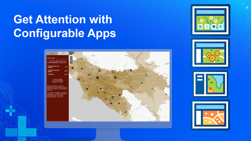
Countdown is the newest template to join the Instant Apps gallery, which also includes 3D Viewer, Attachment Viewer, Category Gallery, Imagery Viewer, Interactive Legend, Media Map, Minimalist, Nearby, Portfolio, and Zone Lookup. Instant Apps offer the ease of fast, intuitive creation workflows along with the flexibility to build a custom app that is designed to share a map through a focused experience. The apps are developed to detect the locale settings configured in the browser and to translate all text to the appropriate language. All apps are designed responsively to be used in browsers on desktops, mobile phones, and tablets. The apps have been developed with support for keyboard-only navigation and screen reading software.
Want inspiration? Browse Esri Community to see what others are doing with Instant Apps. Or share your own!


Article Discussion: