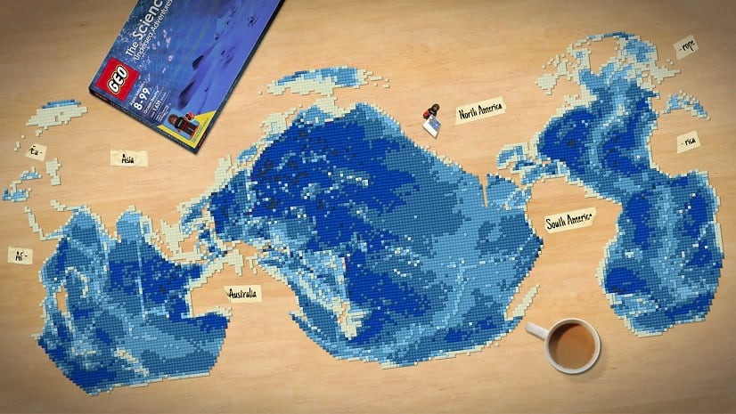
Are you passionate about marine wildlife and habitats? Concerned about plastic pollution or global warming? Inspired by ocean explorers and scientists?
Join Esri, the National Geographic Society, and storytellers worldwide in a conversation about our ocean’s most pressing problems and solutions for a more sustainable future and thriving planet. Simply build and submit an ocean-focused story to the 2021 ArcGIS StoryMaps Challenge for Restoring Our Ocean by October 22, 2021.
To get started, check out the video recording of the August 20th Storytelling for Ocean Science and Sustainability webinar hosted by Esri and the National Geographic Society.
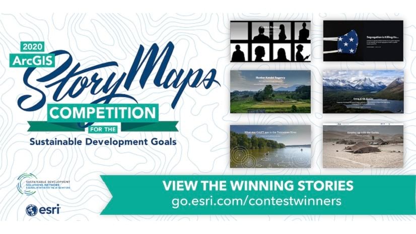
Learn about ocean health, data-driven stories with maps, and details about the competition directly from the 2021 ArcGIS StoryMaps Ocean Challenge judges—Dawn Wright, Sandra Turner, Alex Tait, Charlie Fitzpatrick, and Shelby O’Neil! Meet your judges…


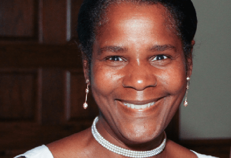
Dawn Wright
Esri Chief Scientist
As Chief Scientist of Esri, Dawn Wright aids in strengthening the scientific foundation for Esri software and services, while also representing Esri to the scientific community. A specialist in marine geology, Dawn has authored and contributed to some of the most definitive literature on marine GIS and ocean conservation.
View her recent articles about science and the geospatial community.
Follow on Twitter: @deepseadawn Twitter
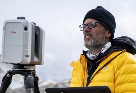
Alex Tait
The Geographer at the National Geographic Society
Alex Tait leads geopolitical and cartographic direction for the National Geographic Society. Prior to that, he worked at International Mapping Associates, providing expertise for international boundary disputes before world courts.
Explore his Mapping Mount Everest story—built in the ArcGIS StoryMaps platform—and hear him discuss the critical roles of data, GIS tools, and mapping during and after the scientific expedition to Everest.
Follow on Twitter: @taitmaps Twitter
Sandra Turner
National Geographic Certified Educator and Emerging Explorer
Sandra is a global climate change education leader who teaches aquaculture, climate science, and ocean literacy.
Visit Sandra’s page on the Teach with GIS hub where you can explore GIS and storytelling resources as well as her inspiring collection of Caribbean climate stories.
Follow on Twitter: @SandMTurner Twitter
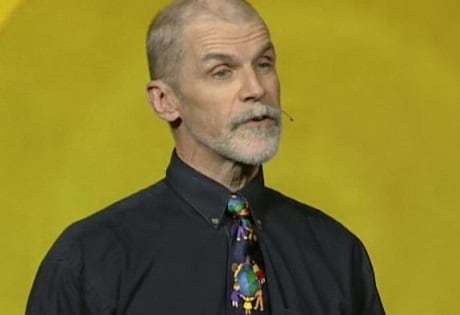
Charlie Fitzpatrick
Esri K-12 Education Manager
After being a formal student for many years, Charlie taught social studies in grades 7-12 for 15 years. He started teaching teachers to understand the patterns, relationships, and systems of the world using computers. Charlie joined Esri as education manager in 1992, where he works with students, educators, and influencers across the U.S.
View his recent articles about GIS and education.
Follow on Twitter: @FitzpatrickC Twitter
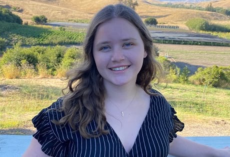
Shelby O’Neil
National Geographic Young Explorer
Shelby O’Neil is a National Geographic Young Explorer, as well as the Founder of Jr Ocean Guardians and the No Straw November challenge. As a past National Gold Award Girl Scout, Shelby has worked with several companies in the aviation, health care, and beverage industries to reduce single-use plastic pollution. To date, over 40 million single-use plastic straws have been reduced annually from O’Neil’s corporate relationships.
Visit the Jr Ocean Guardians website to learn more about her ocean conservation initiatives.
Follow on Twitter: @nostrawnovember Twitter and on Instagram: @jr.ocean.guardians Instagram

Visit the 2021 ArcGIS StoryMaps Challenge for Restoring Our Ocean website to get the challenge rules, important dates, and online resources.

Article Discussion: