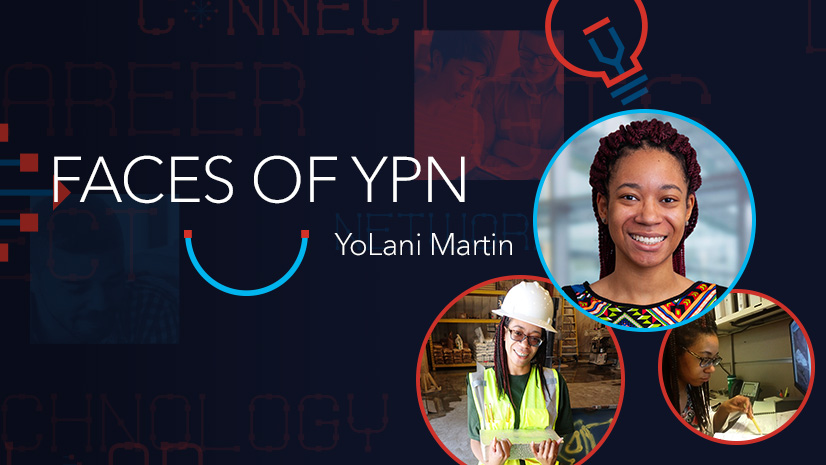
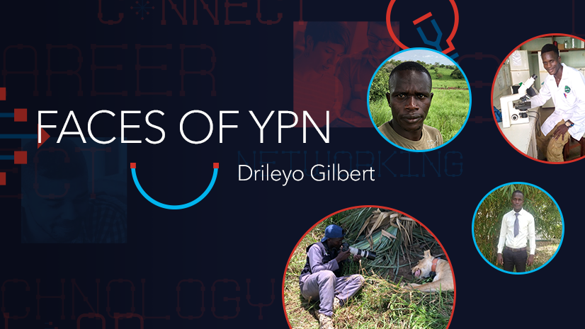
The Esri Young Professionals Network (YPN) Faces of YPN series provides firsthand advice to young pros entering geospatial technology careers from various industries.
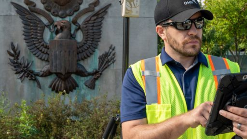
In this installment of this series, we highlight and interview Michael Cousins, a GIS Practice Leader and Director of Geographic Information Systems (GIS) technology at architecture, engineering, and planning firm OHM Advisors. OHM Advisors is an Esri partner that focuses on Advancing Communities for our various clients across the public and private sectors.
I love how GIS in interwoven into pretty much every discipline, whether you are an engineer, planner, city manager, or municipal [mobile] worker.
Below is our interview with Cousins.
Q: How did you get your start in GIS?
A: I went to college at Michigan State University, originally as a criminal justice major. After two years, I took an intro to GIS class early and decided to make a leap in my major to [pursue] a Bachelor of Science in Geography with a specialization in Spatial Information Processing.
I graduated in 2007 and hoped to find a GIS position with a federal agency or law enforcement, but it was hard at that time due to the economy.
I moved to Orlando, Florida, and worked at a big consulting firm for five years. From there, I’ve worked with the Department of Defense on a US Army contract, building real-world 3D simulators for troop training. In 2014, I moved back to Michigan to work for OHM Advisors and have been here ever since.
Nowadays, I do a bit of everything. Our GIS team supports GIS clients in multiple states, and within various industries like utility mapping, crime mapping, planning, election mapping, and more.
Q: What internships helped kick-start your career?
A: My first internship was with Two Men and a Truck in Lansing, Michigan, where I worked on market analysis and mapping for various franchises. I used maps daily, and this internship taught me how to be professional as the foray into the industry.
My second internship was with the Tri-County Regional Planning Commission, where I built maps and layers and was credited by Rand McNally in a published piece. This internship was great in terms of making connections.
Q: How do you use GIS in your current role?
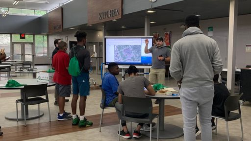
A: I oversee all of our GIS operations as the Practice Leader for GIS at OHM Advisors. My position is mainly external, focused on business development, networking and making connections, sharing thought leadership, visiting clients, and serving as the GIS Technical Expert. I previously used GIS more regularly; nowadays I leave that to our talented GIS team who assists mainly with the mapping and maintenance of our servers.
The rest of our team builds informative dashboards and [interactive] maps, while I serve as the face discussing what our GIS team does. We use a full ArcGIS Enterprise deployment and consistently utilize ArcGIS Hub, ArcGIS Online, ArcGIS Field Maps, ArcGIS StoryMaps, ArcGIS Dashboards, and more.
Q: What are some of your favorite projects your team is working on?
A: What I love most is that we work with our partners to build strategic relationships. One of the projects we’ve worked on is with the Bay View Association in Petoskey, Michigan.
Bay View Association owns and operates its own utilities, roads, parks, etc. We helped transform how management uses GIS to map its various assets, like sidewalks & utilities, asset management tracking through interactive dashboards and experiences, [determining] capital improvement planning (CIP) costs, expense tracking, and more.
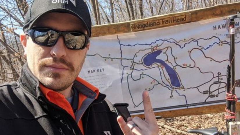
Another proud project was with the Grand Traverse County Road Commission, which is in Traverse City, Michigan. [Staff members] are working on building a bypass around Traverse City to assist with tourist traffic traveling into the main [area of] town.
We helped them make an [interactive map created with] ArcGIS StoryMaps and [a] solution to get citizens more aware of the project and allow them to provide feedback on the project. This project was a bit more of an environmental and transportation study using citizen engagement.
Q: What first steps do you recommend to someone new to the GIS field?
A: I recommend getting active on LinkedIn—it is such a powerful tool! Create a professional profile and link to everything that you have done. Connect with peers and industry leaders nationally and internationally.
Interact with these peers & industry leaders on their posts. Share innovative ideas that you see, draw inspiration from them too and try to incorporate them into your work. Build your brand—the time is now!
You will want your résumé to stand out. You should add a link or QR Code to your LinkedIn profile, and add QR Codes to a public map or StoryMap that you’ve worked on. If you’ve created a StoryMap portfolio, link that with a QR code or short link. Anything to keep me looking at your resume longer, the better your odds!
Get or stay involved with your alumni organizations. This is a great way to start building your connections. Plus, you already have a natural connection to them by being from the same organization.
User groups and regional conferences are also great opportunities to connect with local GIS users in your city or state.
Honestly, getting involved in organizations is the first step, and then learning about what others are doing in their organizations. Be present and submit your own presentations once you feel comfortable. Network at these events and then link up with these people immediately after so you don’t forget their names.
Q: What type of training or courses do you recommend for young pros?
A: There are so many virtual classes out there, most of which are free. Try the Esri MOOCs [massive open online courses] if you can. These are extremely valuable, and you can include them on your résumé.
If you’re not strong with Field Maps, StoryMaps, or database entry, there are courses out there that can help. Take as many as possible to find your niche, or get training through professional organizations.
User group meetings and conferences are great opportunities too. There are opportunities like the URISA [Mentoring Network] that are a great resource for mentoring or management training.
Q: What advice do you have for young pros?
A: Be active in your profession, whether through LinkedIn or conferences. Continue to learn, evolve, and make connections by joining or participating in local GIS user group meetings. Being active is the only way you will continue to learn and advance your career.
Keep up with the latest technology! As technology changes, read and learn about it, then pull it into what you are doing.
Don’t be afraid to go up and talk to people and network, because connections are key.
Learn about Esri Young Professionals Network—visit our web page.
Check out these additional resources for students in higher education or young professionals entering geospatial technology careers:
- Faces of YPN blog series
- Esri Community—Young Professionals Network (blogs, events, discussion)
- Esri YPN LinkedIn group
- Esri training courses
- Esri Technical Certification Program
- Esri student programs including internships and assistantships
- Esri recruiting events