Attending the Esri User Conference has always been an inspiring time for me, as I know it is for many. Occurring in July, it also serves as a great opportunity in the year to pause and evaluate industry trends and patterns, disruptions, and identify users’ biggest challenges. Having just returned from the 2023 edition, where attendance surpassed 20,000 attendees, there is plenty to reflect on! If I were to summarize all my takeaways, we would both be here too long. So, I am sharing three key land records themes I have been keeping an eye on that were confirmed by many interactions throughout the conference:
Improving Spatial Accuracy of Parcels
Many organizations are doing a great job of managing their land records in GIS, but they are indicating a desire for better spatial accuracy. This is the result of digital cadastres that have undergone many iterations of conversion to arrive at their current state – and in a condition that does not meet today’s expectations of accuracy. From easily accessible high-resolution/spatially accurate aerial imagery to readily available high-accuracy GNSS-based data collection, users feel pressure to improve their parcel maps – not only for better visual representation but also to support better decision-making. This is not a trivial task, as those of you managing land records know. Fortunately, help has arrived. While starting over and rebuilding a cadastre from record documents is generally not an option, migrating parcels to ArcGIS Pro Parcel Fabric is. What are some benefits of managing parcels in Parcel Fabric?
- Supports both record-driven workflows which are triggered when a legal document is recorded and quality-driven workflows which can happen anytime
- Preserves chain of title or lineage through time by tracking parcel changes (i.e. historic parcels are retained)
- Provides for both legal (recorded information) and physical (survey control) depiction
- Is easily scalable, configurable, and rapidly deployable
- Meets modern cadastral requirements including 3D and digital submission
If the points above don’t compel you to consider moving to Parcel Fabric in ArcGIS Pro and you are still maintaining parcels in ArcMap, please note that support for ArcMap will be ending on March 1, 2026. Now is the time to start thinking about what migration looks like for your organization. Stay tuned for additional guidance and updates.
The Land Records Special Interest Group (SIG) at the UC had record attendance and is a great place to connect with fellow land records GIS users and learn about future plans for Parcel Fabric and other parcel management tips and tricks. It is also a great opportunity to connect directly with the Parcel Fabric development team. If you were not able to make it this year, join our Parcel Fabric Meetup where there are opportunities throughout the year to continue learning!

Managing Right-of-Way Parcels
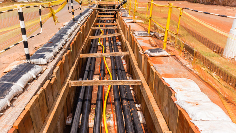
The assessor’s office has always been at the forefront of land records management, and for good reason – parcels and property characteristics are core to real estate assessment and tax. However, another pattern has emerged. What about the land records that underpin our country’s infrastructure, in the form of right-of-way and easement documentation? Because these spaces are often not in the tax rolls, parcels have not been included in most modern cadastres. Finite space for critical infrastructure, increasing pressure on services, and an influx of infrastructure projects resulting from the Infrastructure Investment and Jobs Act (IIJA) are putting emphasis on inventorying and mapping right-of-way. Often managed by departments outside of the assessor’s office, the process of managing right-of-way and easement parcels is similar. For organizations to make the best decisions about right-of-way, they first need to understand what they have and where it is. Then, the analytics provided by GIS can be leveraged to understand where there are opportunities for lease revenue, where there is surplus property, and strategically plan for future expansion. ArcGIS Pro Parcel Fabric stands ready to manage right-of-way land records. Esri has a new ROW and Easement Data Management Solution to help you get started and some additional resources for managing right-of-way in GIS can be found here.

Parcel Aggregation
Because taxation is administered at the local government level in the U.S., this is where parcels are managed. Another emerging pattern is the aggregation of parcel information across larger areas – more specifically, statewide. Driving this is property tax oversight. Many state revenue departments are looking for more efficient ways to ensure fair and equitable distribution of their revenues. A great example of this comes from the South Dakota Department of Revenue. Awarded a Special Achievement in GIS (SAG) Award at the UC, they were recognized for implementing GIS to aggregate parcels across the state and modernize their property tax processes. Other drivers are emergency operations, resiliency planning, infrastructure management, and business development – all activities that know no boundaries and require land information across jurisdictions.
Also worth noting is the recent passage of the Federal Land Asset Inventory Reform (FLAIR) Act by the Federal government which calls for the creation of a current, accurate inventory (cadastre) of Federal land.
Perhaps all are indicators that we are closer than ever to realizing the vision of a multi-purpose cadastre as set forth by the U.S. National Research Council in their “Need for a Multipurpose Cadastre” report published in 1980.
In Closing
There are many other trends on the horizon in land records – one, in particular, is the use of AI to manage land information. I had a number of meetings at the UC with partners and users doing some great work in this space, so more to come on this topic. Adding it to the other trends highlighted above leads me to the same conclusion – we are entering a new era of parcel mapping where the need for accurate, accessible land information is elevating land record management expectations – expectations that can be met head-on with today’s GIS. Welcome to Parcel Mapping 2.0.