Carl Walter
Carl Walter is the Global Director of Homeland Security Solutions at Esri. He joined Esri in 2010, bringing over 20 years of experience in law enforcement and intelligence operations. Before joining Esri, Mr. Walter served as the Director of the Boston Regional Intelligence Center (BRIC), a DHS-designated intelligence fusion center, and as the Director of the Bureau of Intelligence and Analysis for the Boston Police Department. Following 9/11, he established a coordinated regional intelligence capability in the Boston metropolitan area, integrating local, state, and federal law enforcement alongside private sector resources. His efforts focused on critical event management, including preventing and responding to terrorist threats, man-made hazards, and violent criminal activity. In his current role at Esri, Mr. Walter develops global strategies that integrate technology, operations, and analytical tradecraft to support the security needs of national security agencies and Fortune 500 organizations worldwide. He holds an M.S. in Criminal Justice Management from the University of North Carolina at Charlotte and a B.S. in Criminal Justice from East Carolina University in Greenville, North Carolina.
Posts by this author
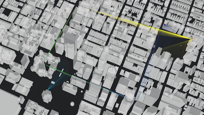
Visualizing Risk: How 3D Analysis Strengthens Security Operations
See what security teams miss: use 3D visibility tools to validate sight lines, identify elevated threats, and optimize camera coverage.

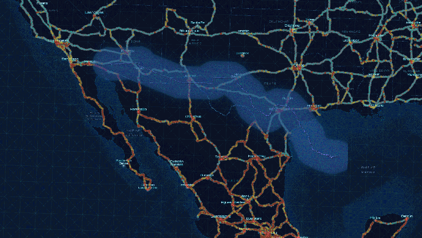
Navigating Risk: How GIS Enhances Maritime Domain Awareness
Learn how GIS empowers maritime security teams with real-time awareness, port surveillance, and coordinated threat response capabilities.
A New Way to Consider HUMINT Operations in the Modern Era
Explore how GIS enhances HUMINT workflows by mapping behavior, managing sources, and supporting tactical field operations.
Mapping Accountability: A Geospatial Approach to Combating Fraud, Waste, and Abuse
Fraud happens somewhere. GIS reveals where—and why—so agencies can prevent loss, protect resources, and promote accountability.

Global Events, Local Threats: A Geospatial Approach to Safety and Security
From stadiums to summits, learn how GIS powers smarter planning, real-time awareness, and rapid response for critical event security.
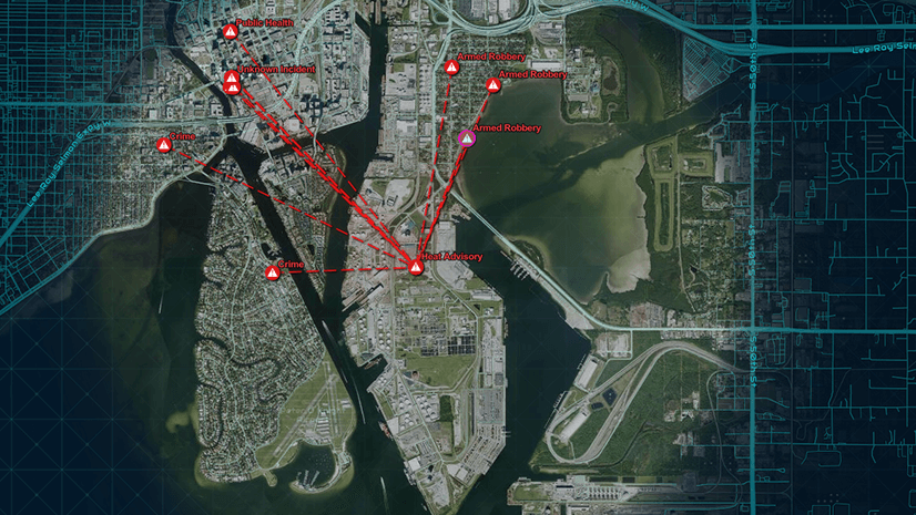
Exploring the Role of GIS in Homeland Security: GIS and Real-Time Threat Management
GIS enhances real-time threat management by integrating sensor data, mapping incidents, and enabling rapid, informed decision-making.
GIS and the Homeland Security Enterprise
Transform the homeland security enterprise with a geospatial concept of operations.

Securing the Maritime Transportation System: A GIS Concept of Operations
GIS enhances port security by unifying mission requirements, improving decision-making, and mitigating threats with real-time data integration.
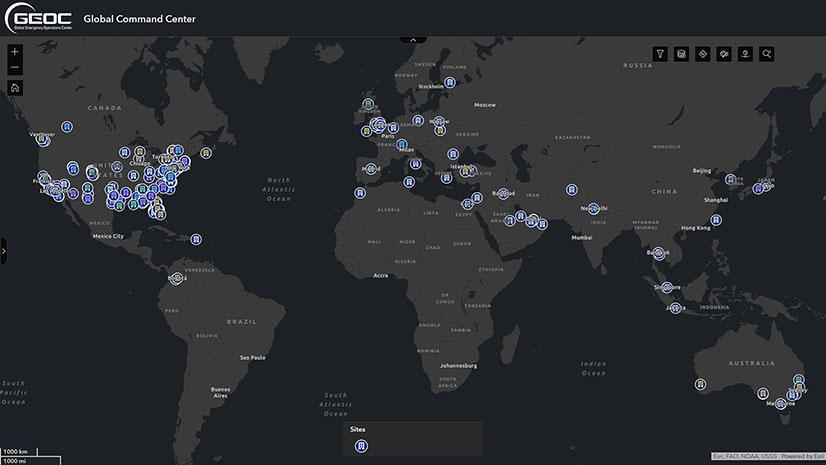
Building Resilience with GIS and a New Era of Proactive Threat Management
Lockheed Martin uses ArcGIS to visualize global risks, map threats, and act swiftly, redefining global security and ensuring employee safety.