Election Planning

Create smarter elections with GIS election planning software and trusted geographic insight.

Photo of an arm and a hand inserting a ballot into a ballot box and a voter precinct map in blue, red, and brown

Comprehensive location based election planning

ArcGIS is election planning software that uses mapping and location‑based data to help you save time and prepare for elections confidently and equitably.

With built‑in election data analysis tools, you can manage addresses and precincts, evaluate voting locations, anticipate turnout, and plan resources in a single system.

Plan smarter elections

Use ArcGIS to strengthen election readiness, manage addresses, select sites, and obtain voter insights.

Get real-time insights with web map dashboards

ArcGIS web map dashboards give election leaders a holistic view of planning.

By combining precinct data, voting location analysis, and equity indicators in one authoritative dashboard, teams can quickly identify gaps, risks, and resource needs.

Built-in ArcGIS analytics turn complex planning data into clear, actionable insight for more confident, better-informed decisions.

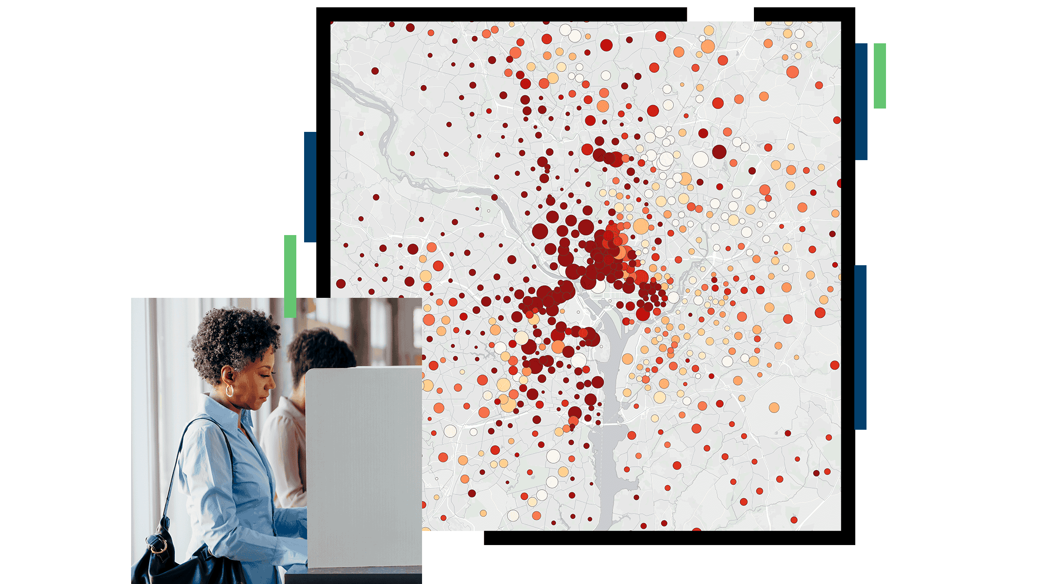
Election Suitability Dashboard a map indicated a score based on demographic and voting behavior

Use maps to align voters, ballots, and boundaries

ArcGIS supports election planning with maps that connect boundaries, locations, and addresses. By organizing districts, precincts, polling places, and drop boxes in one system, teams can:

  • Use voter and candidate addresses to assign the correct ballots
  • Confirm eligibility
  • Identify records that need updates.

This map‑based planning reduces errors before Election Day and supports a smooth, well-organized election process.

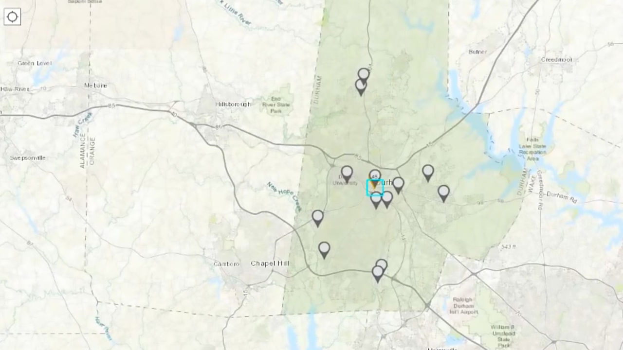
Election Data Management screenshot displaying a filtering menu and a map of voting locations

Ensure accurate addresses for confident planning

Standardize, validate, and map addresses with election planning software. ArcGIS helps maintain address data by connecting to trusted address sources and automatically uploading source information as it changes.

Election officials can confidently determine which precinct, district, and ballot applies to each voter. This location‑based approach improves consistency across data and helps support reliable planning decisions.

Screenshot from Esri’s Address Management solution displaying a neighborhood map and instructions on the side

Use demographic datasets for neighborhood-level understanding

ArcGIS provides access to thousands of authoritative demographic datasets, which you can add directly to your election maps and planning workflows.

Layer this data with precincts, voting locations, and neighborhood boundaries to find out who lives in an area and how communities differ. Create user-friendly web-based maps to share that data.

With neighborhood-level insight into key characteristics, election officials can better understand participation patterns and develop strategies to reach and engage underrepresented voters.

The screenshot of a demographic data browser with tiles for population and income selected

Refine and analyze polling site selections

Combine demographic, accessibility, infrastructure, and policy criteria into a single, repeatable workflow in ArcGIS.

Analysts can quickly evaluate, score, and rank potential locations—such as polling places, facilities, or service sites—based on what matters most to the organization and community.

Screenshot from ArcGIS Business Analyst displaying filters and data for people who never vote in elections and a map

Election Success Stories

Products and solutions for election planning

Previous
Next

Frequently asked questions

GIS provides a structured approach to election planning and precinct management by allowing election offices to inventory, maintain, and validate precincts, districts, voting centers, polling sites, and ballot drop boxes. This election planning software enables voting geography to be accurately defined and maintained to support voter assignment, ballot production, and polling place planning.

By aligning authoritative voter address data with precinct and district boundaries during election planning, GIS helps election offices validate voter assignments and ballot type assignments before ballots are issued. This reduces downstream risk when addresses, precinct assignments, or district boundaries change.

GIS supports polling site selection by evaluating polling site location suitability using accessibility, travel time, proximity to mass transit, and other community criteria. This creates a repeatable, defensible election planning process for vote centers and polling locations.

Planning readiness dashboards bring together key indicators such as precinct status, polling site analysis, equity metrics, and prior election results analysis. Through maps and infographics, election officials can quickly see where election planning is complete and where attention is needed before Election Day.

Contact sales

Contact us

Outside the United States