Skip to Content

Operations and Performance Monitoring

Support fire, rescue, and EMS performance measurements with rich data analysis

A contour map of a wooded area with sections shaded in gradients of orange, overlaid with a photo of fire personnel driving a fire truck while using a headset

Esri's solution for performance measures

Fire and emergency medical services (EMS) personnel continually analyze data. Every response generates data for after-action fire department reporting, performance measures, and the identification of successful operations. GIS supports these reviews with rich data analysis from computer-aided dispatch and records management systems, precise measurements, and streamlined data sharing with decision-makers.

Integrated solutions for monitoring operations and performance

Real-time analysis

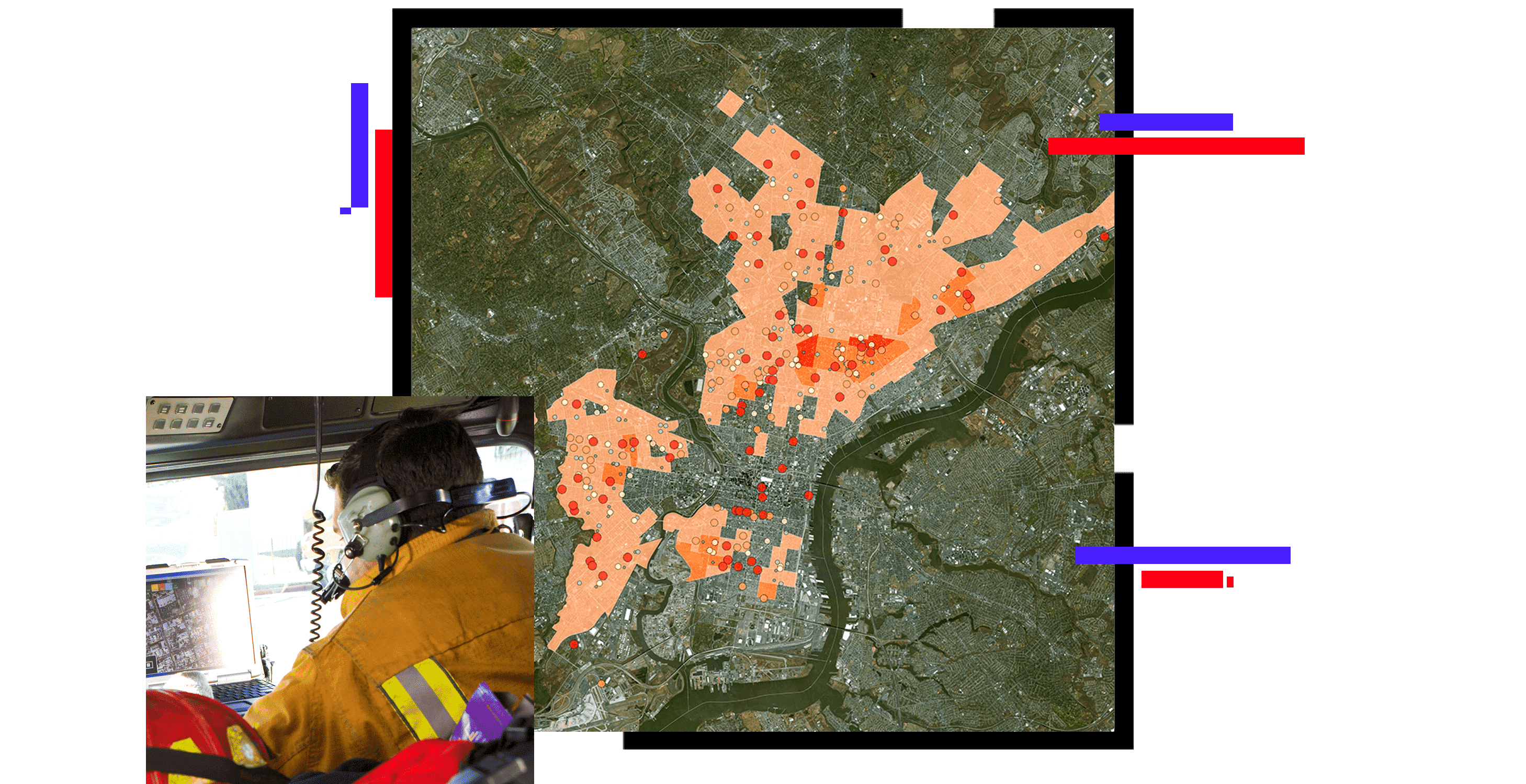
Incident command staff can use GIS to monitor fire and EMS operations sourced from computer-aided dispatch or records management data. GIS can be used to visualize recent incident reports such as calls for service. GIS software also allows command staff to review daily activity for each station or district, maintain incident awareness, understand short-term trends, and monitor response times.

A graphic of a computer monitor displaying a fire incident dashboard, with a mobile phone displaying coordinating data

Data-driven resource deployment

GIS is used to analyze, measure, and share data with decision-makers. This data can come from computer-aided dispatch software, records management systems, community risk reduction activities, or any source deemed appropriate by the agency. GIS can be used to identify gaps in the current deployment model, ensure that resources are deployed appropriately, and help address risks identified in the community risk assessment.

A graphic of a laptop monitor displaying a logistics planning dashboard with a city street map

Use GIS to provide operational data

GIS can be used to create station maps and visual products for response needs. Station maps are large-format wall maps for each fire response district that engine drivers and fire operational staff use. They can be produced for individual fire stations or combined into a single map using map series. Runbooks are small-format map books—cover, map page, and street index specific to each fire response district—that fire personnel use while en route to a call. Runbooks can also be produced for individual fire stations or combined into a single runbook for the entire department.

A graphic of a computer monitor displaying a map with several menus of analysis options

VIDEO

Location technology informs Pasadena Rose Parade

The Pasadena Fire Department transformed situational awareness and emergency response for the Rose Parade by using comprehensive digital maps.

ArcGIS Solutions for fire and EMS operations

Previous
Next

Fire, Rescue, and EMS strategies

Previous
Next
Fire, Rescue, and EMS overview

Related public safety industries

Previous
Next
Public safety sector overview

Contact sales

Contact us

Outside the United States

Connect with the Esri public safety team